Estimated Value: $322,000 - $379,000
About This Home
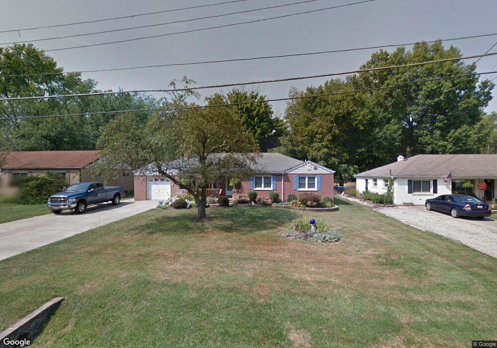
This home is located at 213 Lela Dr, Mason, OH 45040 and is currently estimated at $353,496, approximately $175 per square foot. 213 Lela Dr is a home located in Warren County with nearby schools including Mason Intermediate Elementary School, Mason Middle School, and William Mason High School.
Ownership History
We collect this data history from publicly available records. To have your information removed, we recommend requesting removal directly through your county’s website.
Purchase Details
Home Financials for this Owner
Home Financials are based on the most recent Mortgage that was taken out on this home.Purchase Details
Home Values in the Area
Average Home Value in this Area
Purchase History
We collect this data history from publicly available records. To have your information removed, we recommend requesting removal directly through your county’s website.
| Date | Buyer | Sale Price | Title Company |
|---|---|---|---|
| $96,000 | -- | ||
| $65,000 | -- |
Mortgage History
We collect this data history from publicly available records. To have your information removed, we recommend requesting removal directly through your county’s website.
| Date | Status | Borrower | Loan Amount |
|---|---|---|---|
| Closed | $95,500 |
Tax History
We collect this data history from publicly available records. To have your information removed, we recommend requesting removal directly through your county’s website.
| Year | Tax Paid | Tax Assessment Tax Assessment Total Assessment is a certain percentage of the fair market value that is determined by local assessors to be the total taxable value of land and additions on the property. | Land | Improvement |
|---|---|---|---|---|
| 2025 | $3,772 | $93,280 | $24,500 | $68,780 |
| 2024 | $3,790 | $93,280 | $24,500 | $68,780 |
| 2023 | $3,657 | $76,013 | $15,067 | $60,945 |
| 2022 | $3,609 | $76,013 | $15,068 | $60,946 |
| 2021 | $3,419 | $76,013 | $15,068 | $60,946 |
| 2020 | $3,242 | $61,800 | $12,250 | $49,550 |
| 2019 | $2,981 | $61,800 | $12,250 | $49,550 |
| 2018 | $2,991 | $61,800 | $12,250 | $49,550 |
| 2017 | $2,866 | $55,293 | $11,267 | $44,027 |
| 2016 | $2,952 | $55,293 | $11,267 | $44,027 |
| 2015 | $2,958 | $55,293 | $11,267 | $44,027 |
| 2014 | $2,884 | $50,260 | $10,240 | $40,020 |
| 2013 | $2,890 | $60,120 | $12,250 | $47,870 |
Map
- 121 Elmlinger Dr
- 5665 Cox Smith Rd
- 113 Lynnview Dr
- 197 Acoma Dr
- 342 Bexley Ct Unit 20
- 423 Kings Mills Rd
- 5533 Cox-Smith Rd
- 5523 Cox-Smith Rd
- 5513 Cox-Smith Rd
- 206 Sherwood Green Ct Unit 9
- 3850 Hanover Dr
- 5081 Parkside Dr
- 5503 Cox-Smith Rd
- 5493 Cox-Smith Rd
- 4202 Marival Way Unit 35
- 4268 Fontenay
- 917 Briarwood Ct
- 5270 Bay Pointe Dr
- 394 Walnut Ln
- 376 Walnut Ln
Ask me questions while you tour the home.