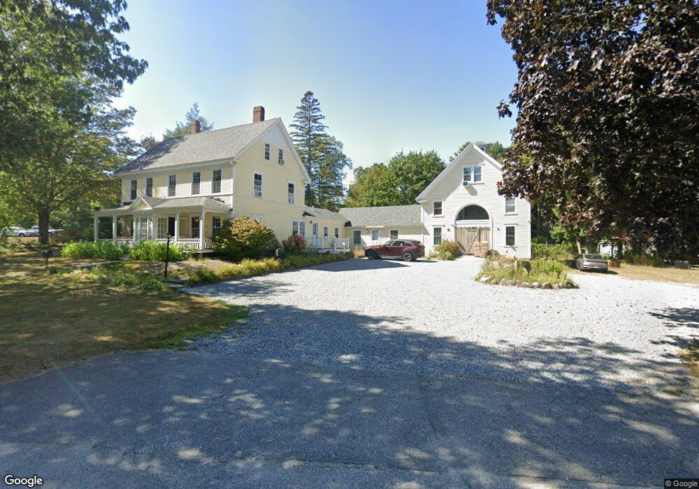
213 Main St Freeport, ME 04032
Estimated Value: $1,173,000 - $1,422,684
12
Beds
13
Baths
8,415
Sq Ft
$157/Sq Ft
Est. Value
About This Home
This home is located at 213 Main St, Freeport, ME 04032 and is currently estimated at $1,321,895, approximately $157 per square foot. 213 Main St is a home located in Cumberland County with nearby schools including Morse Street School, Mast Landing School, and Freeport Middle School.
Ownership History
Date
Name
Owned For
Owner Type
Purchase Details
Closed on
Aug 3, 2023
Sold by
Now Comes Nrk Map Llc
Bought by
Kendall Tavern Inn Llc
Current Estimated Value
Home Financials for this Owner
Home Financials are based on the most recent Mortgage that was taken out on this home.
Original Mortgage
$600,000
Outstanding Balance
$582,921
Interest Rate
6.67%
Mortgage Type
Purchase Money Mortgage
Estimated Equity
$738,974
Purchase Details
Closed on
Apr 18, 2014
Sold by
Tlr Prop Management Llc
Bought by
Nrk Map Llc
Home Financials for this Owner
Home Financials are based on the most recent Mortgage that was taken out on this home.
Original Mortgage
$502,500
Interest Rate
4.26%
Mortgage Type
Purchase Money Mortgage
Purchase Details
Closed on
Nov 4, 2005
Sold by
Conroy Props Mgmt Llc
Bought by
Tlr Prop Mgmt Inc
Home Financials for this Owner
Home Financials are based on the most recent Mortgage that was taken out on this home.
Original Mortgage
$706,200
Interest Rate
5.85%
Mortgage Type
Purchase Money Mortgage
Create a Home Valuation Report for This Property
The Home Valuation Report is an in-depth analysis detailing your home's value as well as a comparison with similar homes in the area
Home Values in the Area
Average Home Value in this Area
Purchase History
| Date | Buyer | Sale Price | Title Company |
|---|---|---|---|
| Kendall Tavern Inn Llc | $1,150,000 | None Available | |
| Nrk Map Llc | -- | -- | |
| Nrk Map Llc | -- | -- | |
| Tlr Prop Mgmt Inc | -- | -- | |
| Tlr Prop Mgmt Inc | -- | -- |
Source: Public Records
Mortgage History
| Date | Status | Borrower | Loan Amount |
|---|---|---|---|
| Open | Kendall Tavern Inn Llc | $600,000 | |
| Previous Owner | Nrk Map Llc | $502,500 | |
| Previous Owner | Tlr Prop Mgmt Inc | $706,200 | |
| Previous Owner | Tlr Prop Mgmt Inc | $283,800 |
Source: Public Records
Tax History
| Year | Tax Paid | Tax Assessment Tax Assessment Total Assessment is a certain percentage of the fair market value that is determined by local assessors to be the total taxable value of land and additions on the property. | Land | Improvement |
|---|---|---|---|---|
| 2025 | $16,461 | $1,188,500 | $367,900 | $820,600 |
| 2024 | $15,633 | $1,171,000 | $350,400 | $820,600 |
| 2023 | $14,359 | $1,044,300 | $318,500 | $725,800 |
| 2022 | $13,789 | $1,010,200 | $284,400 | $725,800 |
| 2021 | $13,488 | $1,010,300 | $284,400 | $725,900 |
| 2020 | $80 | $938,800 | $263,300 | $675,500 |
| 2019 | $80 | $898,300 | $248,400 | $649,900 |
| 2018 | $12,355 | $820,900 | $220,000 | $600,900 |
| 2017 | $11,845 | $792,300 | $215,700 | $576,600 |
| 2016 | $71 | $726,900 | $193,300 | $533,600 |
| 2015 | $11,533 | $686,500 | $183,500 | $503,000 |
| 2014 | $10,847 | $686,500 | $183,500 | $503,000 |
| 2013 | $10,978 | $692,600 | $183,500 | $509,100 |
Source: Public Records
Map
Nearby Homes
- 212 Main St
- 42 Durham Rd
- 10 Durham Rd
- 11 Orchard Hill Rd
- 5 Holbrook St
- 67 Farmview Ln
- 1 Wardtown Rd
- 1260 Us Route 1
- 8 Statler Ln
- 10 Prout Rd
- 39 Hunter Rd
- 15 Linwood Rd Unit 15
- 15 Tinkers Way
- 143 Bragdon Rd
- 26 Harvest Ridge Rd Unit 24
- 0 Prout Rd
- 20 Harvest Ridge Rd Unit 23
- 21 Renee Rd
- 52 Birch Point Rd
- 4 Harper's Trail
Your Personal Tour Guide
Ask me questions while you tour the home.