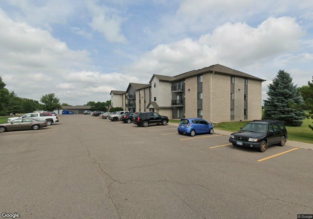
213 N High Dr NW Unit 102 Hutchinson, MN 55350
Estimated Value: $236,000 - $252,402
3
Beds
1
Bath
1,264
Sq Ft
$194/Sq Ft
Est. Value
About This Home
This home is located at 213 N High Dr NW Unit 102, Hutchinson, MN 55350 and is currently estimated at $244,601, approximately $193 per square foot. 213 N High Dr NW Unit 102 is a home located in McLeod County with nearby schools including Hutchinson West Elementary School, Hutchinson Park Elementary School, and Hutchinson Middle School.
Ownership History
Date
Name
Owned For
Owner Type
Purchase Details
Closed on
Aug 30, 2013
Sold by
Blom David L and Blom Donna M
Bought by
Blom Jason C and Blom Candace M
Current Estimated Value
Home Financials for this Owner
Home Financials are based on the most recent Mortgage that was taken out on this home.
Original Mortgage
$80,000
Outstanding Balance
$59,957
Interest Rate
4.51%
Estimated Equity
$184,644
Create a Home Valuation Report for This Property
The Home Valuation Report is an in-depth analysis detailing your home's value as well as a comparison with similar homes in the area
Home Values in the Area
Average Home Value in this Area
Purchase History
| Date | Buyer | Sale Price | Title Company |
|---|---|---|---|
| Blom Jason C | -- | Dataquick Title Llc | |
| Blom Jason Jason | $80,000 | -- |
Source: Public Records
Mortgage History
| Date | Status | Borrower | Loan Amount |
|---|---|---|---|
| Open | Blom Jason Jason | $80,000 | |
| Closed | Blom Jason C | $78,551 |
Source: Public Records
Tax History Compared to Growth
Tax History
| Year | Tax Paid | Tax Assessment Tax Assessment Total Assessment is a certain percentage of the fair market value that is determined by local assessors to be the total taxable value of land and additions on the property. | Land | Improvement |
|---|---|---|---|---|
| 2024 | $2,916 | $225,200 | $50,900 | $174,300 |
| 2023 | $2,914 | $218,000 | $50,900 | $167,100 |
| 2022 | $2,716 | $211,500 | $48,300 | $163,200 |
| 2021 | $2,246 | $180,000 | $42,300 | $137,700 |
| 2020 | $2,190 | $147,700 | $38,400 | $109,300 |
| 2019 | $2,026 | $141,400 | $38,400 | $103,000 |
| 2018 | $1,872 | $0 | $0 | $0 |
| 2017 | $1,736 | $0 | $0 | $0 |
| 2016 | $1,642 | $0 | $0 | $0 |
| 2015 | $1,478 | $0 | $0 | $0 |
| 2014 | -- | $0 | $0 | $0 |
Source: Public Records
Map
Nearby Homes
- 236 10th Ave NE
- 235 10th Ave NE
- 245 10th Ave NE
- 205 10th Ave NE
- 255 10th Ave NE
- 216 10th Ave NE
- 215 10th Ave NE
- 225 10th Ave NE
- 1534 9th Ave SW
- 740 Ash St NE
- 132 College Ave NE
- 525 Golf Course Rd NW
- 725 Maple St NE
- 19044 Judson Ct
- 635 Hillcrest Rd NE
- 648 Bluff St NE
- 584 Bluff St NE
- 524 Bluff St NE
- 555 N High Dr NE
- XXX Golf Course Rd NW
- 329 N High Dr NW
- 18756 202nd Cir
- 105 Michael Ct
- 415 N High Dr NW
- 125 Michael Ct NW
- 115 Michael Ct NW
- 120 Michael Ct NW
- 110 Michael Ct NW
- 18538 202nd Cir
- 18717 202nd Cir
- 18759 202nd Cir
- 18716 202nd Ct
- 45 N High Dr NW Unit 15
- 45 Michael Ct
- XXX N High Dr
- 18649 202nd Ct
- 18718 202nd Cir
- 18637 202nd Ct
- 18758 202nd Cir
- 18654 202nd Ct