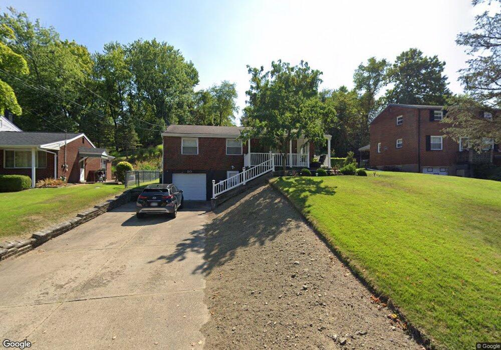
213 Noel Dr Monroeville, PA 15146
Estimated Value: $119,000 - $203,936
3
Beds
1
Bath
925
Sq Ft
$175/Sq Ft
Est. Value
About This Home
This home is located at 213 Noel Dr, Monroeville, PA 15146 and is currently estimated at $161,984, approximately $175 per square foot. 213 Noel Dr is a home located in Allegheny County with nearby schools including Gateway High School, Greater Works Christian School, and Divine Mercy Academy.
Ownership History
Date
Name
Owned For
Owner Type
Purchase Details
Closed on
Oct 23, 2012
Sold by
Dirobbio John
Bought by
Rodgers Jamie H
Current Estimated Value
Purchase Details
Closed on
Mar 24, 2006
Sold by
Wm Specialty Mtg L L C
Bought by
Dirobbio John
Home Financials for this Owner
Home Financials are based on the most recent Mortgage that was taken out on this home.
Original Mortgage
$60,800
Interest Rate
6.32%
Mortgage Type
New Conventional
Purchase Details
Closed on
Jul 19, 2000
Sold by
Fisher Stacy B
Bought by
Rockwell Ronald and Trust #213Relt
Purchase Details
Closed on
May 1, 1998
Sold by
Fisher Stacy B and Fisher Anita G
Bought by
Fisher Stacy B
Purchase Details
Closed on
May 27, 1994
Sold by
Bender Ronald D and Bender Karri Jean
Bought by
Fisher Stacy B and Fisher Anita G
Purchase Details
Closed on
Jan 1, 1900
Create a Home Valuation Report for This Property
The Home Valuation Report is an in-depth analysis detailing your home's value as well as a comparison with similar homes in the area
Home Values in the Area
Average Home Value in this Area
Purchase History
| Date | Buyer | Sale Price | Title Company |
|---|---|---|---|
| Rodgers Jamie H | $64,000 | -- | |
| Dirobbio John | $64,000 | -- | |
| Rockwell Ronald | -- | -- | |
| Fisher Stacy B | -- | -- | |
| Fisher Stacy B | $72,000 | -- | |
| -- | -- | -- |
Source: Public Records
Mortgage History
| Date | Status | Borrower | Loan Amount |
|---|---|---|---|
| Previous Owner | Dirobbio John | $60,800 |
Source: Public Records
Tax History Compared to Growth
Tax History
| Year | Tax Paid | Tax Assessment Tax Assessment Total Assessment is a certain percentage of the fair market value that is determined by local assessors to be the total taxable value of land and additions on the property. | Land | Improvement |
|---|---|---|---|---|
| 2025 | $2,094 | $66,300 | $30,200 | $36,100 |
| 2024 | $2,021 | $66,300 | $30,200 | $36,100 |
| 2023 | $2,021 | $66,300 | $30,200 | $36,100 |
| 2022 | $1,964 | $66,300 | $30,200 | $36,100 |
| 2021 | $314 | $66,300 | $30,200 | $36,100 |
| 2020 | $1,896 | $66,300 | $30,200 | $36,100 |
| 2019 | $1,896 | $66,300 | $30,200 | $36,100 |
| 2018 | $314 | $66,300 | $30,200 | $36,100 |
| 2017 | $1,860 | $66,300 | $30,200 | $36,100 |
| 2016 | $314 | $66,300 | $30,200 | $36,100 |
| 2015 | $314 | $66,300 | $30,200 | $36,100 |
| 2014 | $1,831 | $66,300 | $30,200 | $36,100 |
Source: Public Records
Map
Nearby Homes
- 322 College Park Dr
- 359 Hochberg Rd
- 216 College Park Dr
- 231 Spartan Dr
- 4650 Old Frankstown Rd
- 443 Eden Dr
- 628 Illini Dr
- 602 Tartan Dr
- 162 Glenwood Dr
- 1170 Balkan Dr
- 610 Cooper Rd
- * Old Frankstown Rd
- 133 Laura Lee Dr
- 609 Beatty Rd
- 722 Vanderbilt Dr
- 108 Oak Pointe Dr
- 32 Bracken Place
- 205 Williamsburg Dr
- 0 Yettman Dr
- 306 Knollview Dr