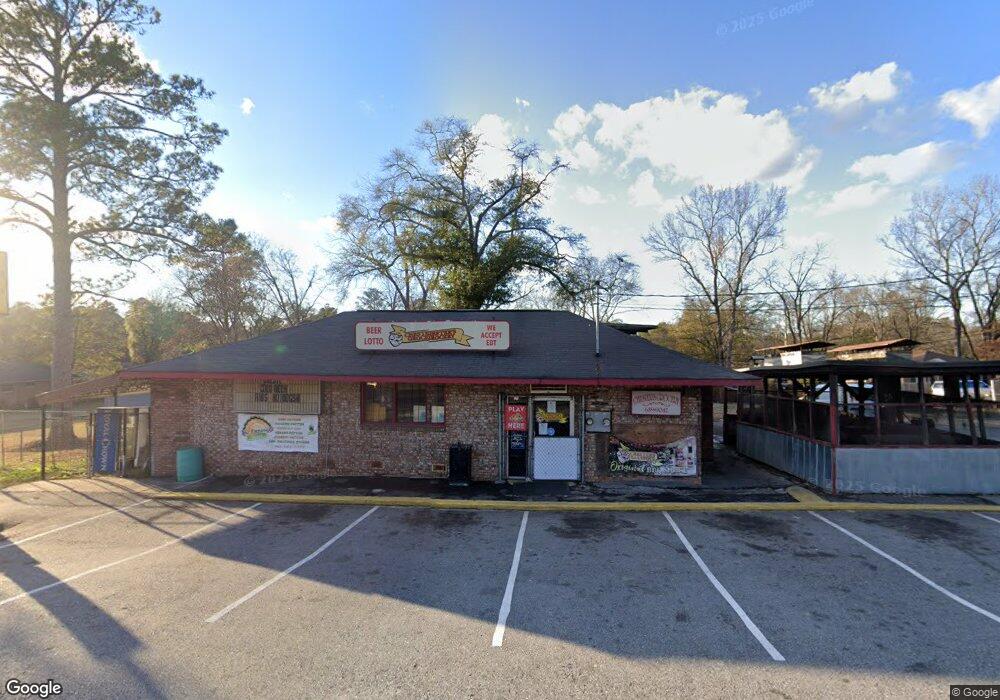
213 Northstar Dr Columbus, GA 31907
Eastern Columbus NeighborhoodEstimated Value: $113,000 - $139,000
3
Beds
2
Baths
1,190
Sq Ft
$109/Sq Ft
Est. Value
About This Home
This home is located at 213 Northstar Dr, Columbus, GA 31907 and is currently estimated at $129,156, approximately $108 per square foot. 213 Northstar Dr is a home located in Muscogee County with nearby schools including Gulf Gate Elementary School, Taylor Ranch Elementary School, and Dawson Elementary School.
Ownership History
Date
Name
Owned For
Owner Type
Purchase Details
Closed on
Nov 27, 2018
Sold by
Chester Terry Bernice
Bought by
Chesters Ribs & Bbq Inc
Current Estimated Value
Home Financials for this Owner
Home Financials are based on the most recent Mortgage that was taken out on this home.
Original Mortgage
$25,500
Interest Rate
4.8%
Mortgage Type
New Conventional
Purchase Details
Closed on
Jul 30, 2016
Sold by
Lamar Leonard
Bought by
Terry Bernice Chester
Purchase Details
Closed on
Mar 16, 2016
Sold by
Carrie Lakes
Bought by
Chester Trent
Create a Home Valuation Report for This Property
The Home Valuation Report is an in-depth analysis detailing your home's value as well as a comparison with similar homes in the area
Home Values in the Area
Average Home Value in this Area
Purchase History
| Date | Buyer | Sale Price | Title Company |
|---|---|---|---|
| Chesters Ribs & Bbq Inc | $30,000 | -- | |
| Terry Bernice Chester | -- | -- | |
| Chester Trent | -- | -- |
Source: Public Records
Mortgage History
| Date | Status | Borrower | Loan Amount |
|---|---|---|---|
| Closed | Chesters Ribs & Bbq Inc | $25,500 |
Source: Public Records
Tax History Compared to Growth
Tax History
| Year | Tax Paid | Tax Assessment Tax Assessment Total Assessment is a certain percentage of the fair market value that is determined by local assessors to be the total taxable value of land and additions on the property. | Land | Improvement |
|---|---|---|---|---|
| 2025 | $1,807 | $46,160 | $15,620 | $30,540 |
| 2024 | $1,807 | $46,160 | $15,620 | $30,540 |
| 2023 | $1,148 | $46,160 | $15,620 | $30,540 |
| 2022 | $1,189 | $29,132 | $15,620 | $13,512 |
| 2021 | $1,184 | $29,004 | $15,620 | $13,384 |
| 2020 | $1,201 | $29,400 | $15,620 | $13,780 |
| 2019 | $1,205 | $29,400 | $15,620 | $13,780 |
| 2018 | $1,156 | $28,224 | $15,620 | $12,604 |
| 2017 | $1,160 | $28,224 | $15,620 | $12,604 |
| 2016 | $498 | $12,065 | $2,561 | $9,504 |
| 2015 | $498 | $12,065 | $2,561 | $9,504 |
| 2014 | $499 | $12,065 | $2,561 | $9,504 |
| 2013 | -- | $12,065 | $2,561 | $9,504 |
Source: Public Records
Map
Nearby Homes
- 5021 Shirley Ann Dr
- 5003 Shirley Ann Dr
- 31 R C Allen Dr
- 4846 Maplewood Dr
- 4930 Capricorn Ct
- 100 R C Allen Dr
- 59 Apollo Dr
- 4801 Allen St
- 300 Jefferson Dr
- 4516 Sims St
- 4201 Valley Crest Dr
- 4534 Sentry St
- 418 Henson Ave
- 4422 Pate Dr
- 391 & 401 Victoria Dr
- 4437 St Marys Rd
- 392 Olsen Ave
- 5235 Vincent Dr
- 780 Honey Do Ct
- 811 Pheasant Loop
- 207 Northstar Dr
- 5036 Farley Dr
- 5045 Farley Dr
- 4902 Northstar Dr Unit 15
- 4902 Northstar Dr Unit 12
- 5030 Farley Dr
- 4739 Farley Dr
- 0 Northstar Dr
- 5035 Sentry St
- 4733 Farley Dr
- 5029 Sentry St
- 4727 Farley Dr
- 198 Northstar Dr
- 233 Northstar Dr
- 5023 Sentry St
- 4721 Farley Dr
- 224 Northstar Dr
- 216 Northstar Dr
- 192 Northstar Dr
- 4710 Farley Dr