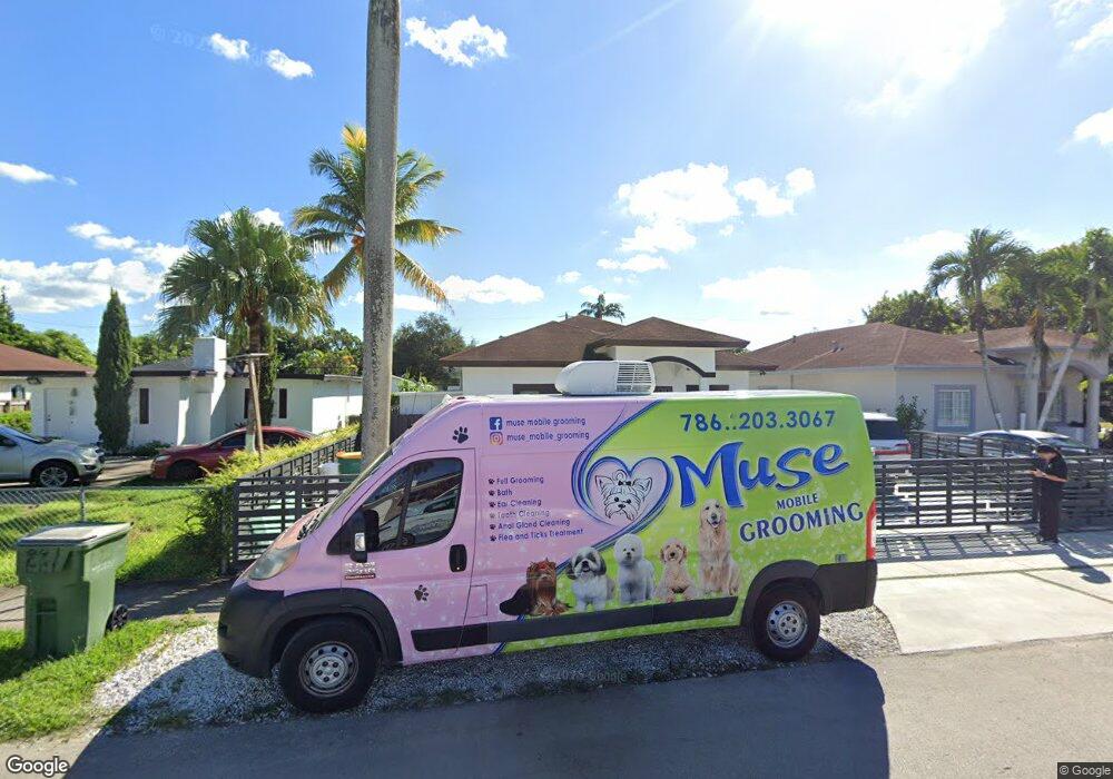
213 NW 7th Ave Homestead, FL 33030
Downtown Homestead NeighborhoodEstimated Value: $512,796 - $641,000
4
Beds
2
Baths
1,854
Sq Ft
$312/Sq Ft
Est. Value
About This Home
This home is located at 213 NW 7th Ave, Homestead, FL 33030 and is currently estimated at $577,949, approximately $311 per square foot. 213 NW 7th Ave is a home located in Miami-Dade County with nearby schools including West Homestead K-8 Center, Homestead Middle School, and Arthur And Polly Mays Conservatory Of The Arts.
Ownership History
Date
Name
Owned For
Owner Type
Purchase Details
Closed on
Feb 24, 2020
Sold by
Ronmol Investment Group Llc
Bought by
Hoover Lili
Current Estimated Value
Home Financials for this Owner
Home Financials are based on the most recent Mortgage that was taken out on this home.
Original Mortgage
$60,000
Outstanding Balance
$20,157
Interest Rate
3.6%
Mortgage Type
Future Advance Clause Open End Mortgage
Estimated Equity
$557,792
Purchase Details
Closed on
Mar 1, 2017
Sold by
Perez David and Salas Perez Maria
Bought by
Ronmol Investment Group Llc
Home Financials for this Owner
Home Financials are based on the most recent Mortgage that was taken out on this home.
Original Mortgage
$118,000
Interest Rate
4.19%
Mortgage Type
Future Advance Clause Open End Mortgage
Create a Home Valuation Report for This Property
The Home Valuation Report is an in-depth analysis detailing your home's value as well as a comparison with similar homes in the area
Home Values in the Area
Average Home Value in this Area
Purchase History
| Date | Buyer | Sale Price | Title Company |
|---|---|---|---|
| Hoover Lili | $118,000 | None Available | |
| Ronmol Investment Group Llc | $198,000 | Attorney |
Source: Public Records
Mortgage History
| Date | Status | Borrower | Loan Amount |
|---|---|---|---|
| Open | Hoover Lili | $60,000 | |
| Previous Owner | Ronmol Investment Group Llc | $118,000 |
Source: Public Records
Tax History Compared to Growth
Tax History
| Year | Tax Paid | Tax Assessment Tax Assessment Total Assessment is a certain percentage of the fair market value that is determined by local assessors to be the total taxable value of land and additions on the property. | Land | Improvement |
|---|---|---|---|---|
| 2025 | $7,298 | $315,363 | -- | -- |
| 2024 | $6,596 | $286,694 | -- | -- |
| 2023 | $6,596 | $260,631 | $0 | $0 |
| 2022 | $6,025 | $236,938 | $0 | $0 |
| 2021 | $5,160 | $211,999 | $78,122 | $133,877 |
| 2020 | $4,104 | $185,706 | $56,816 | $128,890 |
| 2019 | $3,936 | $180,069 | $49,714 | $130,355 |
| 2018 | $3,491 | $160,227 | $28,408 | $131,819 |
| 2017 | $2,209 | $71,537 | $0 | $0 |
| 2016 | $1,907 | $65,034 | $0 | $0 |
| 2015 | $1,514 | $59,122 | $0 | $0 |
| 2014 | $1,438 | $53,748 | $0 | $0 |
Source: Public Records
Map
Nearby Homes
- 236 NW 6 Ave
- 229 NW 9th Ave
- NW 6 STREET NW 4 Ave
- 604 SW 6th Ave
- 426 SW 6th Ave
- 846 NW 3rd Ave
- 604 SW 8th Ave
- 867 NW 4th Ave
- 655 SW 5th St
- 211 SW 4th Ct
- 916 NW 3rd Ave
- 18833 SW 314 St
- 18849 SW 314 St
- 1140 NW 9th St
- 926 NW 3rd Ave
- 318 SW 5th St
- 640 SW 12th Ave
- Starlight Plan at Coral Landings
- Pearlstone Plan at Coral Landings
- Crownstone Plan at Coral Landings
