Estimated Value: $1,537,000 - $2,528,122
4
Beds
4
Baths
5,204
Sq Ft
$401/Sq Ft
Est. Value
About This Home
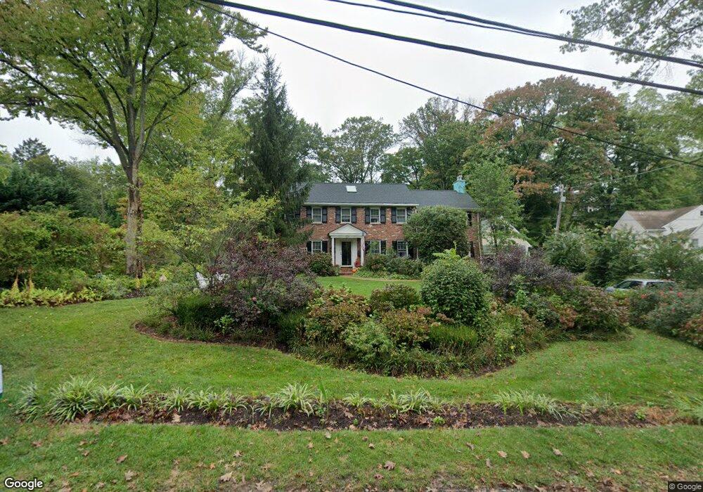
This home is located at 213 Orchard Way, Wayne, PA 19087 and is currently estimated at $2,089,281, approximately $401 per square foot. 213 Orchard Way is a home located in Delaware County with nearby schools including Wayne Elementary School, Radnor Middle School, and Radnor Senior High School.
Ownership History
Date
Name
Owned For
Owner Type
Purchase Details
Closed on
Jun 30, 2005
Sold by
Apaydin Okan and Apaydin Gulseren L
Bought by
Hoeltzel Mary T
Current Estimated Value
Home Financials for this Owner
Home Financials are based on the most recent Mortgage that was taken out on this home.
Original Mortgage
$615,000
Outstanding Balance
$322,074
Interest Rate
5.71%
Mortgage Type
Purchase Money Mortgage
Estimated Equity
$1,767,207
Create a Home Valuation Report for This Property
The Home Valuation Report is an in-depth analysis detailing your home's value as well as a comparison with similar homes in the area
Home Values in the Area
Average Home Value in this Area
Purchase History
| Date | Buyer | Sale Price | Title Company |
|---|---|---|---|
| Hoeltzel Mary T | $875,000 | Penn Land Transfer Co |
Source: Public Records
Mortgage History
| Date | Status | Borrower | Loan Amount |
|---|---|---|---|
| Open | Hoeltzel Mary T | $615,000 |
Source: Public Records
Tax History Compared to Growth
Tax History
| Year | Tax Paid | Tax Assessment Tax Assessment Total Assessment is a certain percentage of the fair market value that is determined by local assessors to be the total taxable value of land and additions on the property. | Land | Improvement |
|---|---|---|---|---|
| 2025 | $28,867 | $1,427,740 | $275,440 | $1,152,300 |
| 2024 | $28,867 | $1,427,740 | $275,440 | $1,152,300 |
| 2023 | $27,722 | $1,427,740 | $275,440 | $1,152,300 |
| 2022 | $27,420 | $1,427,740 | $275,440 | $1,152,300 |
| 2021 | $44,044 | $1,427,740 | $275,440 | $1,152,300 |
| 2020 | $16,995 | $488,530 | $133,070 | $355,460 |
| 2019 | $16,515 | $488,530 | $133,070 | $355,460 |
| 2018 | $16,191 | $488,530 | $0 | $0 |
| 2017 | $15,852 | $488,530 | $0 | $0 |
| 2016 | $2,681 | $488,530 | $0 | $0 |
| 2015 | $2,681 | $488,530 | $0 | $0 |
| 2014 | $2,681 | $439,190 | $0 | $0 |
Source: Public Records
Map
Nearby Homes
- 328 Conestoga Rd
- 24 Orchard Ln
- 188 Abrahams Ln
- 353 Oak Terrace
- 232 Conestoga Rd
- 0 Greenwell Ln
- 207 Willow Ave
- 205 N Aberdeen Ave
- 5 Greythorne Woods Cir Unit 5
- 500 E Lancaster Ave Unit 126A
- 500 E Lancaster Ave Unit 117A
- 238 Highland Ave
- 412 Fairview Dr
- 188 Conestoga Rd
- 256 Willow Ave
- Fenimore Plan at North Wayne
- Harrison Plan at North Wayne
- 123 Conestoga Rd
- 426 W Beechtree Ln
- 625 Conestoga Rd
- 211 Orchard Way
- 439 Louella Ave
- 215 Orchard Way
- 217 Orchard Way
- 210 Orchard Way
- 411 Louella Ave
- 214 Orchard Way
- 218 Pembroke Ave
- 210 Pembroke Ave
- 517 Louella Ave
- 219 Orchard Way
- 407 Louella Ave
- 222 Orchard Way
- 436 Louella Ave
- 432 Louella Ave
- 440 Louella Ave
- 428 Louella Ave
- 220 Pembroke Ave
- 424 Louella Ave
- 231 Orchard Way