213 Osborne Ln Elkader, IA 52043
Estimated Value: $356,000 - $628,343
4
Beds
3
Baths
4,078
Sq Ft
$122/Sq Ft
Est. Value
About This Home
This home is located at 213 Osborne Ln, Elkader, IA 52043 and is currently estimated at $496,448, approximately $121 per square foot. 213 Osborne Ln is a home located in Clayton County with nearby schools including Central Elementary School and Central Middle School/High School.
Ownership History
Date
Name
Owned For
Owner Type
Purchase Details
Closed on
Jan 13, 2023
Sold by
D & M Land Enterprises Llc
Bought by
Tschirgi Mark J and Tschirgi Julie A
Current Estimated Value
Purchase Details
Closed on
Jun 24, 2009
Sold by
Kline Larry L and Kline Juanita E
Bought by
Tschirgi Mark and Tschirgi Julie
Purchase Details
Closed on
Aug 18, 2006
Sold by
Leonard George W and Leonard Terry
Bought by
Tschirgi Mark J and Tschirgi Julie A
Home Financials for this Owner
Home Financials are based on the most recent Mortgage that was taken out on this home.
Original Mortgage
$320,000
Interest Rate
6.88%
Mortgage Type
Purchase Money Mortgage
Create a Home Valuation Report for This Property
The Home Valuation Report is an in-depth analysis detailing your home's value as well as a comparison with similar homes in the area
Home Values in the Area
Average Home Value in this Area
Purchase History
| Date | Buyer | Sale Price | Title Company |
|---|---|---|---|
| Tschirgi Mark J | $91,000 | None Listed On Document | |
| Tschirgi Mark | -- | None Available | |
| Tschirgi Mark J | $72,000 | None Available |
Source: Public Records
Mortgage History
| Date | Status | Borrower | Loan Amount |
|---|---|---|---|
| Previous Owner | Tschirgi Mark J | $320,000 |
Source: Public Records
Tax History Compared to Growth
Tax History
| Year | Tax Paid | Tax Assessment Tax Assessment Total Assessment is a certain percentage of the fair market value that is determined by local assessors to be the total taxable value of land and additions on the property. | Land | Improvement |
|---|---|---|---|---|
| 2025 | $5,692 | $583,502 | $125,371 | $458,131 |
| 2024 | $5,524 | $472,664 | $90,705 | $381,959 |
| 2023 | $4,876 | $472,664 | $90,705 | $381,959 |
| 2022 | $4,702 | $359,516 | $53,950 | $305,566 |
| 2021 | $4,652 | $359,516 | $53,950 | $305,566 |
| 2020 | $4,652 | $344,959 | $47,400 | $297,559 |
| 2019 | $4,438 | $344,959 | $47,400 | $297,559 |
| 2018 | $4,438 | $355,052 | $82,006 | $273,046 |
| 2017 | $4,366 | $320,446 | $47,400 | $273,046 |
| 2015 | $4,556 | $355,696 | $39,920 | $315,776 |
| 2014 | $4,520 | $332,738 | $32,750 | $299,988 |
Source: Public Records
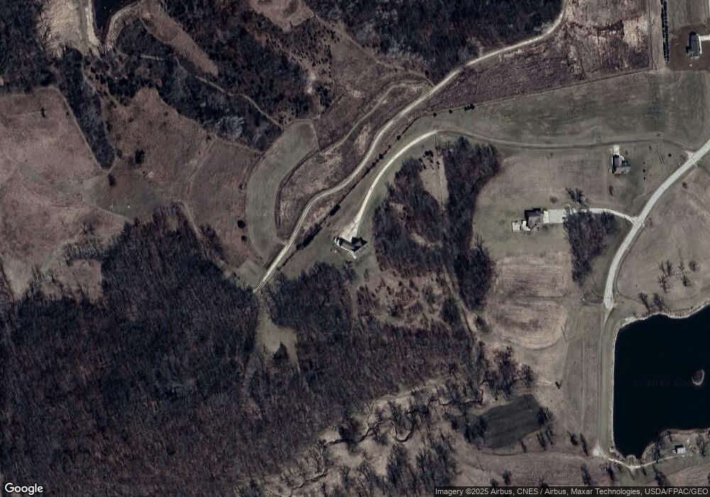
Map
Nearby Homes
- 27766 Highway 13
- 26642 Iowa 13
- 209 2nd St SW
- 117 S Main St
- 301 N 1st St
- 0 Grandview Rd
- 710 Woodland Dr NW
- 707 N Main St
- 702 N Main St
- 302 N 3rd St
- 0 E Bridge St
- TBD Birch Rd
- 100 Volga St
- 247 Franzen Ridge Rd
- 249 Franzen Ridge Rd
- 14149 Iowa 56
- 27455 Harbor Rd
- 10766 Bush Rd
- 0 13 Hwy Unit NBR20255145
- Impala Rd
- 205 Terry Ln
- 202 Osborne Ln
- 224 Emerald St
- 101 Angie Ct
- 209 Emerald Dr
- 29305 Highway 13
- 0 Emerald Dr Unit 20221150
- 0 Emerald Dr Unit LOT 6 20200744
- 0 Emerald Dr Unit LOT 5 20200743
- 0 Emerald Dr Unit LOT 4 20200742
- 0 Emerald Dr Unit LOT 2 20200741
- 0 Emerald Dr Unit LOT 1 20200740
- 0 Emerald Dr Unit 20200738
- 29463 Empire Rd
- 29459 Empire Rd
- 29194 Highway 13
- 0 Osborne Rd Unit LOT 1 20200746
- 0 Osborne Rd Unit LOT 9 20200745
- 0 Osborne Rd Unit LOT 10
- 0 Osborne Rd Unit LOT 4