213 Pheasant Ridge Unit (Lot 303) Polson, MT 59860
Estimated Value: $197,617 - $231,000
--
Bed
--
Bath
--
Sq Ft
0.72
Acres
About This Home
This home is located at 213 Pheasant Ridge Unit (Lot 303), Polson, MT 59860 and is currently estimated at $212,206. 213 Pheasant Ridge Unit (Lot 303) is a home located in Lake County with nearby schools including Cherry Valley School, Linderman Elementary School, and Polson Middle School (7-8).
Ownership History
Date
Name
Owned For
Owner Type
Purchase Details
Closed on
Sep 28, 2020
Sold by
Rayburn Charles
Bought by
Cooley Scott K and Cooley Cheryl J
Current Estimated Value
Purchase Details
Closed on
Dec 10, 2013
Sold by
Whitefish Credit Union
Bought by
Depoe Robert R and Depoe Jamie
Home Financials for this Owner
Home Financials are based on the most recent Mortgage that was taken out on this home.
Original Mortgage
$29,000
Interest Rate
4.04%
Mortgage Type
Purchase Money Mortgage
Create a Home Valuation Report for This Property
The Home Valuation Report is an in-depth analysis detailing your home's value as well as a comparison with similar homes in the area
Home Values in the Area
Average Home Value in this Area
Purchase History
| Date | Buyer | Sale Price | Title Company |
|---|---|---|---|
| Cooley Scott K | -- | None Available | |
| Depoe Robert R | -- | None Available |
Source: Public Records
Mortgage History
| Date | Status | Borrower | Loan Amount |
|---|---|---|---|
| Previous Owner | Depoe Robert R | $29,000 |
Source: Public Records
Tax History Compared to Growth
Tax History
| Year | Tax Paid | Tax Assessment Tax Assessment Total Assessment is a certain percentage of the fair market value that is determined by local assessors to be the total taxable value of land and additions on the property. | Land | Improvement |
|---|---|---|---|---|
| 2025 | $709 | $160,775 | $0 | $0 |
| 2024 | $703 | $89,478 | $0 | $0 |
| 2023 | $673 | $89,478 | $0 | $0 |
| 2022 | $331 | $38,521 | $0 | $0 |
| 2021 | $367 | $38,521 | $0 | $0 |
| 2020 | $575 | $60,329 | $0 | $0 |
| 2019 | $583 | $60,329 | $0 | $0 |
| 2018 | $511 | $53,467 | $0 | $0 |
| 2017 | $500 | $53,467 | $0 | $0 |
| 2016 | $815 | $86,930 | $0 | $0 |
| 2015 | $1,023 | $113,650 | $0 | $0 |
| 2014 | -- | $104,968 | $0 | $0 |
Source: Public Records
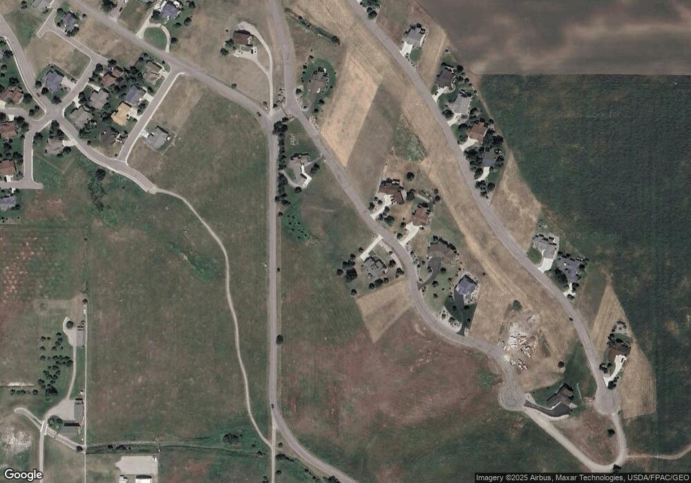
Map
Nearby Homes
- 213 Pheasant Ridge
- 116 Red Tail Rd
- 212 Pheasant Ridge Ln
- 102 Marias St
- 372 Hawk Dr
- 227 Pheasant Ridge
- 100 Reliance Landing
- 525 Hawk Dr
- 189 Pheasant Ridge
- Nhn Tundra Swan Way
- 294 Montana Landing
- nhn Hawk Dr
- LOT 34 Tundra Swan Way
- 36184 Caroline Ln
- 107 Kari Ln
- 140 Kari Ln
- 403 White Fox Run
- 205 Shawnee Ln
- 207 Shawnee Ln
- Lot 23 Timberwolf Estates
- lot 303 Pheasant Ridge
- NHN Pheasant Ridge Ln
- Lot 303 Mission Bay Preserve
- Lot 303 NH Pheasant Ridge
- 217 Pheasant Ridge
- 209 Pheasant Ridge
- 209 Pheasant Ridge Unit (Lot 302)
- 217 Pheasant Ridge Ln
- Lot 14 Pheasant Ridge Ct
- 214 Pheasant Ridge
- LOT 2 Pheasant Ridge
- LOT 20 Pheasant Ridge
- LOT 17 Pheasant Ridge Ct
- 216 Pheasant Ridge
- Lot 306 Mission Bay Preserve
- Lot 207 Pheasant Ridge Rd
- 218 Pheasant Ridge
- 218 Pheasant Ridge Unit (Lot 207)
- 218 Pheasant Ridge
- 212 Pheasant Ridge