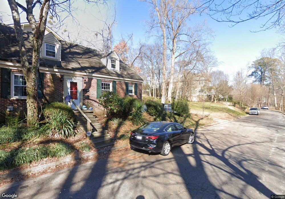
213 Poplar St Raleigh, NC 27604
Mordecai NeighborhoodEstimated Value: $498,000 - $590,000
--
Bed
2
Baths
1,546
Sq Ft
$347/Sq Ft
Est. Value
About This Home
This home is located at 213 Poplar St, Raleigh, NC 27604 and is currently estimated at $536,190, approximately $346 per square foot. 213 Poplar St is a home located in Wake County with nearby schools including Conn Elementary, Oberlin Middle School, and Broughton Magnet High School.
Ownership History
Date
Name
Owned For
Owner Type
Purchase Details
Closed on
Jan 3, 2025
Sold by
Starr Walter Douglas and Starr Douglas W
Bought by
Dixon/Kirby & Company Inc
Current Estimated Value
Purchase Details
Closed on
Jan 6, 1998
Sold by
Whittington Richard H
Bought by
Starr W Douglas
Home Financials for this Owner
Home Financials are based on the most recent Mortgage that was taken out on this home.
Original Mortgage
$40,000
Interest Rate
7.2%
Create a Home Valuation Report for This Property
The Home Valuation Report is an in-depth analysis detailing your home's value as well as a comparison with similar homes in the area
Home Values in the Area
Average Home Value in this Area
Purchase History
| Date | Buyer | Sale Price | Title Company |
|---|---|---|---|
| Dixon/Kirby & Company Inc | $500,000 | None Listed On Document | |
| Dixon/Kirby & Company Inc | $500,000 | None Listed On Document | |
| Starr W Douglas | $140,000 | -- |
Source: Public Records
Mortgage History
| Date | Status | Borrower | Loan Amount |
|---|---|---|---|
| Previous Owner | Starr W Douglas | $40,000 |
Source: Public Records
Tax History Compared to Growth
Tax History
| Year | Tax Paid | Tax Assessment Tax Assessment Total Assessment is a certain percentage of the fair market value that is determined by local assessors to be the total taxable value of land and additions on the property. | Land | Improvement |
|---|---|---|---|---|
| 2025 | $5,054 | $574,877 | $493,762 | $81,115 |
| 2024 | $5,033 | $574,877 | $493,762 | $81,115 |
| 2023 | $3,351 | $303,781 | $260,000 | $43,781 |
| 2022 | $3,116 | $303,781 | $260,000 | $43,781 |
| 2021 | $2,996 | $303,781 | $260,000 | $43,781 |
| 2020 | $2,942 | $303,781 | $260,000 | $43,781 |
| 2019 | $2,326 | $197,221 | $110,500 | $86,721 |
| 2018 | $2,195 | $197,221 | $110,500 | $86,721 |
| 2017 | $2,092 | $197,221 | $110,500 | $86,721 |
| 2016 | $2,049 | $197,221 | $110,500 | $86,721 |
| 2015 | $2,705 | $257,331 | $164,400 | $92,931 |
| 2014 | $2,566 | $257,331 | $164,400 | $92,931 |
Source: Public Records
Map
Nearby Homes
- 1228 Marshall St
- 308 Mulberry St
- 339 Mulberry St
- 1307 Wake Forest Rd
- 918 N Blount St
- 1314 Wake Forest Rd
- 1404 Governors Ct
- 1403 Governors Ct
- 1408 Courtland Dr
- 1428 Mordecai Dr
- 710 N Person St Unit 103
- 1527 Havenmont Ct
- 1533 Urban Trace Ln
- 1525 Havenmont Ct
- 1523 Havenmont Ct
- 400 Bryan Pointe Dr Unit 104
- 1610 Draper View Loop Unit 101
- 1523 Urban Trace Ln
- 1521 Sunrise Ave
- 1521 Havenmont Ct
- 209 Poplar St
- 207 Poplar St
- 1113 Marshall St
- 1113 Marshall St Unit 220
- 205 Poplar St
- 1115 Marshall St
- 219 Poplar St
- 1214 Marshall St
- 1207 Courtland Dr
- 1216 Marshall St
- 1218 Marshall St
- 1209 Courtland Dr
- 1124 N Blount St
- 1222 Marshall St
- 1211 Courtland Dr
- 1119 Marshall St
- 1213 Courtland Dr
- 1224 Marshall St
- 204 Poplar St
- 1121 Marshall St