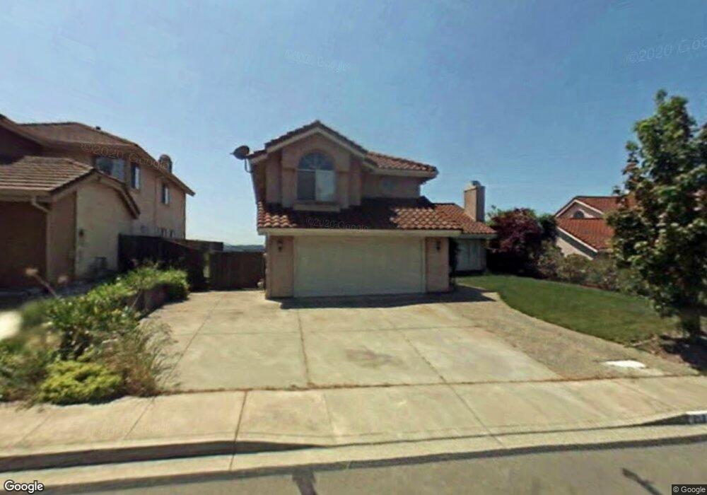
213 Ramsgate Way Vallejo, CA 94591
Estimated Value: $627,000 - $682,000
3
Beds
3
Baths
1,823
Sq Ft
$359/Sq Ft
Est. Value
About This Home
This home is located at 213 Ramsgate Way, Vallejo, CA 94591 and is currently estimated at $654,641, approximately $359 per square foot. 213 Ramsgate Way is a home located in Solano County with nearby schools including Annie Pennycook Elementary School, Hogan Middle School, and Jesse M. Bethel High School.
Ownership History
Date
Name
Owned For
Owner Type
Purchase Details
Closed on
Apr 1, 2015
Sold by
Fannie Mae
Current Estimated Value
Home Financials for this Owner
Home Financials are based on the most recent Mortgage that was taken out on this home.
Original Mortgage
$335,000
Outstanding Balance
$256,110
Interest Rate
3.71%
Mortgage Type
New Conventional
Estimated Equity
$398,531
Purchase Details
Closed on
Apr 1, 2014
Purchase Details
Closed on
Nov 21, 2002
Home Financials for this Owner
Home Financials are based on the most recent Mortgage that was taken out on this home.
Original Mortgage
$294,500
Interest Rate
6.06%
Create a Home Valuation Report for This Property
The Home Valuation Report is an in-depth analysis detailing your home's value as well as a comparison with similar homes in the area
Purchase History
| Date | Buyer | Sale Price | Title Company |
|---|---|---|---|
| -- | $400,000 | Old Republic Title Co | |
| -- | $334,243 | Accommodation | |
| -- | -- | Frontier Title Company |
Source: Public Records
Mortgage History
| Date | Status | Borrower | Loan Amount |
|---|---|---|---|
| Open | -- | $335,000 | |
| Previous Owner | -- | $294,500 |
Source: Public Records
Tax History
| Year | Tax Paid | Tax Assessment Tax Assessment Total Assessment is a certain percentage of the fair market value that is determined by local assessors to be the total taxable value of land and additions on the property. | Land | Improvement |
|---|---|---|---|---|
| 2025 | $6,596 | $480,732 | $120,181 | $360,551 |
| 2024 | $6,596 | $471,307 | $117,825 | $353,482 |
| 2023 | $6,264 | $462,066 | $115,515 | $346,551 |
| 2022 | $6,186 | $453,006 | $113,250 | $339,756 |
| 2021 | $6,054 | $444,125 | $111,030 | $333,095 |
| 2020 | $6,102 | $439,572 | $109,892 | $329,680 |
| 2019 | $5,941 | $430,954 | $107,738 | $323,216 |
| 2018 | $5,584 | $422,505 | $105,626 | $316,879 |
| 2017 | $5,361 | $414,221 | $103,555 | $310,666 |
| 2016 | $4,794 | $406,100 | $101,525 | $304,575 |
| 2015 | $4,173 | $350,872 | $86,698 | $264,174 |
| 2014 | $3,969 | $268,724 | $91,930 | $176,794 |
Source: Public Records
Map
Nearby Homes
- 730 Britannia Dr
- 22 Brighton Dr
- 841 Knights Cir
- 41 Canterbury Cir
- 453 Knights Cir
- 185 Lexington Dr
- 312 Cottonwood Dr
- 479 Aragon St
- 401 Avian Dr
- 236 Corkwood St
- 102 Avian Dr
- 128 Newcastle Dr
- 111 Elgin Ct
- 155 White Pine Dr
- N/A N A
- 414 Brunswick Dr
- 1466 Granada St
- 223 Wedgewood Ct
- 116 Greeves St
- 4118 Georgia St
- 207 Ramsgate Way
- 219 Ramsgate Way
- 225 Ramsgate Way
- 201 Ramsgate Way
- 231 Ramsgate Way
- 775 Britannia Dr
- 755 Britannia Dr
- 795 Britannia Dr
- 237 Ramsgate Way
- 509 Southport Way
- 725 Britannia Dr
- 515 Southport Way
- 505 Southport Way
- 143 Ramsgate Way
- 519 Southport Way
- 468 Southport Way
- 801 Britannia Dr
- 501 Southport Way
- 701 Britannia Dr
- 243 Ramsgate Way
Your Personal Tour Guide
Ask me questions while you tour the home.