
Estimated Value: $26,788 - $146,000
0.22
Acre
$373,623
Price per Acre
9,583
Sq Ft Lot
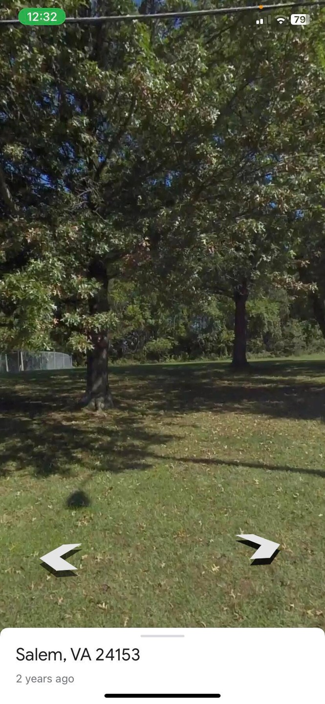
Highlights
- City View
- No HOA
- Level Lot
- Salem High School Rated A-
About This Lot
As of October 2023Listed and sold the same day
Last Agent to Sell the Property
RE/MAX ALL STARS License #0225232490 Listed on: 09/26/2023
Property Details
Property Type
- Land
Est. Annual Taxes
- $411
Lot Details
- 9,583 Sq Ft Lot
- Property fronts a private road
- Level Lot
Property Views
- City
- Mountain
Schools
- G. W. Carver Elementary School
- Andrew Lewis Middle School
- Salem High School
Utilities
- Water Not Available
- Sewer Not Available
- Cable TV Available
Community Details
- No Home Owners Association
Listing and Financial Details
- Tax Lot A-2
Ownership History
Date
Name
Owned For
Owner Type
Purchase Details
Listed on
Sep 26, 2023
Closed on
Oct 17, 2023
Sold by
George Dana Marie and Brickey Billy Burton
Bought by
Dsb Properties Llc
Seller's Agent
Daniel Turk
RE/MAX ALL STARS
Buyer's Agent
Daniel Turk
RE/MAX ALL STARS
List Price
$25,000
Sold Price
$25,000
Views
2
Current Estimated Value
Home Financials for this Owner
Home Financials are based on the most recent Mortgage that was taken out on this home.
Estimated Appreciation
$57,197
Avg. Annual Appreciation
133.01%
Similar Property in the area
Create a Home Valuation Report for This Property
The Home Valuation Report is an in-depth analysis detailing your home's value as well as a comparison with similar homes in the area
Home Values in the Area
Average Home Value in this Area
Purchase History
| Date | Buyer | Sale Price | Title Company |
|---|---|---|---|
| Dsb Properties Llc | $25,000 | Fidelity National Title |
Source: Public Records
Property History
| Date | Event | Price | Change | Sq Ft Price |
|---|---|---|---|---|
| 10/25/2023 10/25/23 | Sold | $25,000 | 0.0% | -- |
| 09/26/2023 09/26/23 | Pending | -- | -- | -- |
| 09/26/2023 09/26/23 | For Sale | $25,000 | -- | -- |
Source: Roanoke Valley Association of REALTORS®
Tax History Compared to Growth
Tax History
| Year | Tax Paid | Tax Assessment Tax Assessment Total Assessment is a certain percentage of the fair market value that is determined by local assessors to be the total taxable value of land and additions on the property. | Land | Improvement |
|---|---|---|---|---|
| 2024 | $217 | $36,100 | $36,100 | $0 |
| 2023 | $407 | $33,900 | $33,900 | $0 |
| 2022 | $364 | $30,300 | $30,300 | $0 |
| 2021 | $342 | $28,500 | $28,500 | $0 |
| 2020 | $342 | $28,500 | $28,500 | $0 |
| 2019 | $342 | $28,500 | $28,500 | $0 |
| 2018 | $320 | $27,100 | $27,100 | $0 |
| 2017 | $320 | $27,100 | $27,100 | $0 |
| 2016 | $320 | $27,100 | $27,100 | $0 |
| 2015 | $159 | $27,000 | $27,000 | $0 |
| 2014 | $159 | $27,000 | $27,000 | $0 |
Source: Public Records
Agents Affiliated with this Home
-
Daniel Turk
Seller's Agent in 2023
Daniel Turk
RE/MAX
39 Total Sales
Map
Source: Roanoke Valley Association of REALTORS®
MLS Number: 901959
APN: 59-2-3.2
Disclaimer: Certain information contained herein is derived from information provided by parties other than Homes.com. All information provided is deemed reliable, but is not guaranteed to be accurate and should be independently verified.
![]() IDX information is provided exclusively for personal, non-commercial use, and may not be used for any purpose other than to identify prospective properties consumers may be interested in purchasing. Information is deemed reliable but not guaranteed.
IDX information is provided exclusively for personal, non-commercial use, and may not be used for any purpose other than to identify prospective properties consumers may be interested in purchasing. Information is deemed reliable but not guaranteed.
Nearby Homes
- 808 Harrison Ave
- 778 Craig Ave
- 306 Carey Ave
- 776 Camp Rd N
- 111 Deer Trace Ln
- 700 N Stonewall St
- 1211 Stoutamire Dr
- 715 N Stonewall St
- 700 Bradford Cir
- 830 Camp Rd N
- 1312 Parkdale Manor Dr
- 0 Quail Ln
- 320 Woodside Dr
- 324 Woodside Dr
- 332 Woodside Dr
- 0 Thompson Memorial Dr Unit 916868
- 0 Thompson Memorial Dr Unit 884331
- 1410 N Mill Rd
- 328 Woodside Dr
- 0 Honeysuckle Rd Unit 74206
- 213 Rutledge Cir
- 209 Rutledge Cir
- 217 Rutledge Cir
- 205 Rutledge Cir
- 203 Rutledge Cir
- 201 Rutledge Cir
- 865 Cleveland Ave
- 732 N Mill Rd
- 740 N Mill Rd
- 855 Cleveland Ave
- 708 N Mill Rd
- 712 N Mill Rd
- 624 N Mill Rd
- 620 N Mill Rd
- 716 N Mill Rd
- 720 N Mill Rd
- 618 N Mill Rd
- 861 Cleveland Ave
- 128 Rutledge Dr
- 744 N Mill Rd