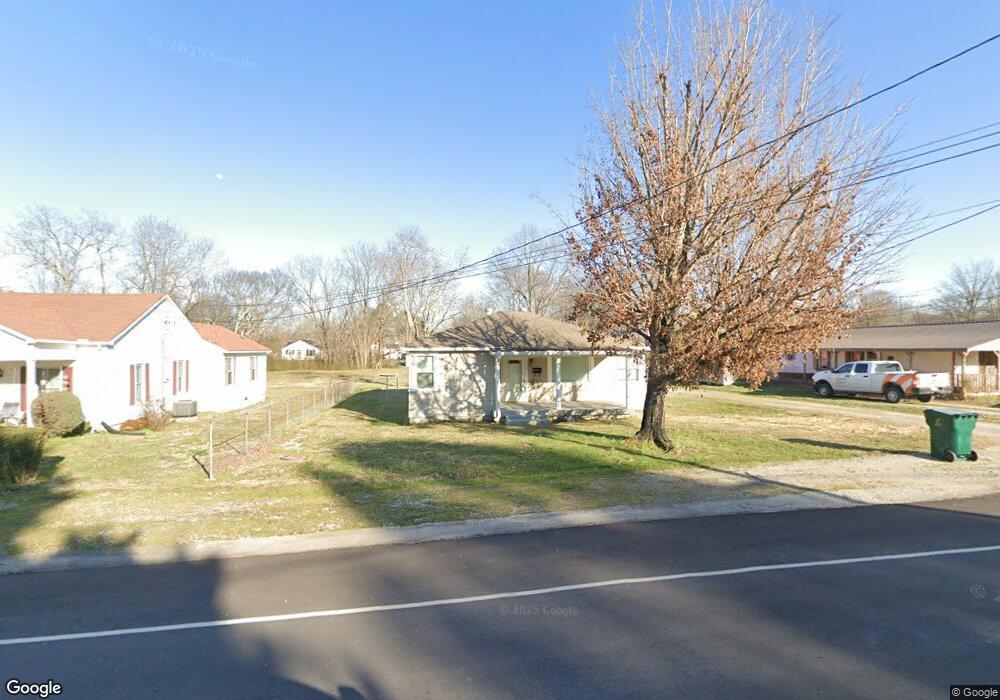
213 S Walnut St Hohenwald, TN 38462
Estimated Value: $109,388 - $200,000
--
Bed
1
Bath
1,093
Sq Ft
$146/Sq Ft
Est. Value
About This Home
This home is located at 213 S Walnut St, Hohenwald, TN 38462 and is currently estimated at $160,097, approximately $146 per square foot. 213 S Walnut St is a home located in Lewis County with nearby schools including Lewis County Elementary School, Lewis County Intermediate School, and Lewis County Middle School.
Ownership History
Date
Name
Owned For
Owner Type
Purchase Details
Closed on
Aug 9, 2021
Sold by
Inman Chase
Bought by
Inman Rob
Current Estimated Value
Purchase Details
Closed on
Dec 28, 2020
Sold by
Inman Donna Holt
Bought by
Inman Chase Brown and Inman Denton Jodi
Purchase Details
Closed on
Mar 31, 2006
Sold by
Carroll George Ottis
Bought by
Inman Donna Holt
Home Financials for this Owner
Home Financials are based on the most recent Mortgage that was taken out on this home.
Original Mortgage
$48,603
Outstanding Balance
$27,517
Interest Rate
6.2%
Mortgage Type
Cash
Estimated Equity
$132,580
Purchase Details
Closed on
Oct 12, 1984
Bought by
Carroll George Ottis and Carroll Wannie
Create a Home Valuation Report for This Property
The Home Valuation Report is an in-depth analysis detailing your home's value as well as a comparison with similar homes in the area
Home Values in the Area
Average Home Value in this Area
Purchase History
| Date | Buyer | Sale Price | Title Company |
|---|---|---|---|
| Inman Rob | -- | Assure Title & Escrow Llc | |
| Inman Chase Brown | -- | None Available | |
| Inman Donna Holt | $55,000 | -- | |
| Carroll George Ottis | -- | -- |
Source: Public Records
Mortgage History
| Date | Status | Borrower | Loan Amount |
|---|---|---|---|
| Open | Carroll George Ottis | $48,603 |
Source: Public Records
Tax History Compared to Growth
Tax History
| Year | Tax Paid | Tax Assessment Tax Assessment Total Assessment is a certain percentage of the fair market value that is determined by local assessors to be the total taxable value of land and additions on the property. | Land | Improvement |
|---|---|---|---|---|
| 2025 | -- | $41,475 | $0 | $0 |
| 2024 | -- | $18,300 | $1,650 | $16,650 |
| 2023 | $552 | $18,300 | $1,650 | $16,650 |
| 2022 | $552 | $18,300 | $1,650 | $16,650 |
| 2021 | $552 | $18,300 | $1,650 | $16,650 |
| 2020 | $345 | $18,300 | $1,650 | $16,650 |
| 2019 | $497 | $13,625 | $1,500 | $12,125 |
| 2018 | $497 | $13,625 | $1,500 | $12,125 |
| 2017 | $517 | $13,625 | $1,500 | $12,125 |
| 2016 | $517 | $13,625 | $1,500 | $12,125 |
| 2015 | -- | $13,625 | $1,500 | $12,125 |
| 2014 | -- | $13,625 | $1,500 | $12,125 |
| 2013 | -- | $14,600 | $0 | $0 |
Source: Public Records
Map
Nearby Homes