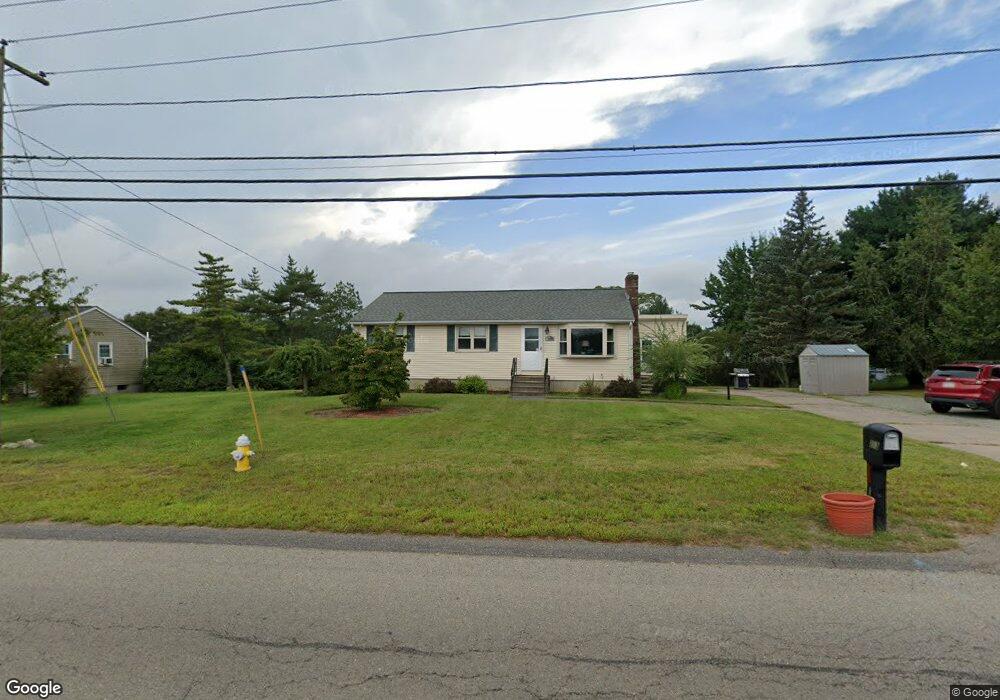
213 Shears St Wrentham, MA 02093
Estimated Value: $419,000 - $563,541
3
Beds
1
Bath
1,148
Sq Ft
$428/Sq Ft
Est. Value
About This Home
This home is located at 213 Shears St, Wrentham, MA 02093 and is currently estimated at $491,635, approximately $428 per square foot. 213 Shears St is a home located in Norfolk County with nearby schools including Delaney Elementary School and Charles E Roderick.
Ownership History
Date
Name
Owned For
Owner Type
Purchase Details
Closed on
Jun 24, 2004
Sold by
Puorro Richard F and Puorro Thomas G
Bought by
Puorro James M and Puorro Lynn M
Current Estimated Value
Home Financials for this Owner
Home Financials are based on the most recent Mortgage that was taken out on this home.
Original Mortgage
$125,000
Outstanding Balance
$62,412
Interest Rate
6.32%
Mortgage Type
Purchase Money Mortgage
Estimated Equity
$429,223
Create a Home Valuation Report for This Property
The Home Valuation Report is an in-depth analysis detailing your home's value as well as a comparison with similar homes in the area
Purchase History
| Date | Buyer | Sale Price | Title Company |
|---|---|---|---|
| Puorro James M | $225,000 | -- |
Source: Public Records
Mortgage History
| Date | Status | Borrower | Loan Amount |
|---|---|---|---|
| Open | Puorro James M | $125,000 |
Source: Public Records
Tax History
| Year | Tax Paid | Tax Assessment Tax Assessment Total Assessment is a certain percentage of the fair market value that is determined by local assessors to be the total taxable value of land and additions on the property. | Land | Improvement |
|---|---|---|---|---|
| 2025 | $5,715 | $493,100 | $282,000 | $211,100 |
| 2024 | $5,299 | $441,600 | $282,000 | $159,600 |
| 2023 | $5,053 | $400,400 | $256,400 | $144,000 |
| 2022 | $4,597 | $336,300 | $204,000 | $132,300 |
| 2021 | $4,204 | $298,800 | $172,800 | $126,000 |
| 2020 | $3,786 | $265,700 | $143,000 | $122,700 |
| 2019 | $3,722 | $263,600 | $143,000 | $120,600 |
| 2018 | $3,802 | $267,000 | $143,200 | $123,800 |
| 2017 | $3,577 | $251,000 | $140,400 | $110,600 |
| 2016 | $3,496 | $244,800 | $136,300 | $108,500 |
| 2015 | $3,348 | $223,500 | $131,100 | $92,400 |
| 2014 | $3,292 | $215,000 | $126,100 | $88,900 |
Source: Public Records
Map
Nearby Homes
- 246 Forest Grove Ave
- 500 Franklin St
- 45 Joshua Rd
- 10 Nature View Dr
- 15 Nature View Dr
- 50 Reed Fulton Ave Unit Lot 61
- 0 W Birch Rd
- 8 Ridgefield Rd
- 11 Weber Farm Rd Unit 11
- 4 Weber Farm Rd Unit 4
- 6 Weber Farm Rd Unit 6
- 8 Weber Farm Rd Unit 8
- 1 Weber Farm Rd Unit 1
- 576 Dedham St
- 30 Weber Farm Rd Unit 30
- 15 Tilting Rock Rd
- 135 Creek St Unit 2
- 11 Sharon Ave
- 9 Sharon Ave
- 2 Earle Stewart Ln
Your Personal Tour Guide
Ask me questions while you tour the home.