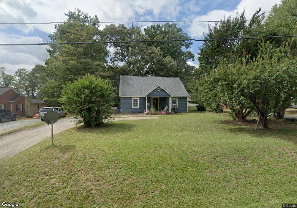
213 Southerland St Durham, NC 27703
Eastern Durham NeighborhoodEstimated Value: $218,000 - $295,000
2
Beds
1
Bath
1,175
Sq Ft
$212/Sq Ft
Est. Value
About This Home
This home is located at 213 Southerland St, Durham, NC 27703 and is currently estimated at $248,618, approximately $211 per square foot. 213 Southerland St is a home located in Durham County with nearby schools including Merrick-Moore Elementary School, John W Neal Middle School, and Southern School of Energy & Sustainability.
Ownership History
Date
Name
Owned For
Owner Type
Purchase Details
Closed on
Jun 28, 2007
Sold by
Hulin Charles and Hulin Kathy
Bought by
Contreras Silvestre Rocha and Pecina Martha Baez
Current Estimated Value
Home Financials for this Owner
Home Financials are based on the most recent Mortgage that was taken out on this home.
Original Mortgage
$85,400
Interest Rate
9.25%
Mortgage Type
Purchase Money Mortgage
Purchase Details
Closed on
Jan 13, 2003
Sold by
Harrison Skinner
Bought by
Hulin Laurie Harrison
Create a Home Valuation Report for This Property
The Home Valuation Report is an in-depth analysis detailing your home's value as well as a comparison with similar homes in the area
Home Values in the Area
Average Home Value in this Area
Purchase History
| Date | Buyer | Sale Price | Title Company |
|---|---|---|---|
| Contreras Silvestre Rocha | $85,000 | None Available | |
| Hulin Laurie Harrison | -- | -- |
Source: Public Records
Mortgage History
| Date | Status | Borrower | Loan Amount |
|---|---|---|---|
| Previous Owner | Contreras Silvestre Rocha | $85,400 |
Source: Public Records
Tax History Compared to Growth
Tax History
| Year | Tax Paid | Tax Assessment Tax Assessment Total Assessment is a certain percentage of the fair market value that is determined by local assessors to be the total taxable value of land and additions on the property. | Land | Improvement |
|---|---|---|---|---|
| 2025 | $2,305 | $232,504 | $70,500 | $162,004 |
| 2024 | $1,553 | $111,324 | $17,575 | $93,749 |
| 2023 | $1,458 | $111,324 | $17,575 | $93,749 |
| 2022 | $1,425 | $111,324 | $17,575 | $93,749 |
| 2021 | $1,418 | $111,324 | $17,575 | $93,749 |
| 2020 | $1,385 | $111,324 | $17,575 | $93,749 |
| 2019 | $1,385 | $111,324 | $17,575 | $93,749 |
| 2018 | $1,373 | $101,233 | $17,575 | $83,658 |
| 2017 | $1,363 | $101,233 | $17,575 | $83,658 |
| 2016 | $1,317 | $101,233 | $17,575 | $83,658 |
| 2015 | $1,369 | $98,884 | $26,511 | $72,373 |
| 2014 | $1,369 | $98,884 | $26,511 | $72,373 |
Source: Public Records
Map
Nearby Homes
- 525 N Hoover Rd
- 113 Herbert St
- 2513 Rochelle St
- 1121 Raynor St
- 1116 Delano St
- 2605 Holloway St
- 2619 Mansfield Ave
- 612 Raynor St
- 1311 Castlebay Rd
- 610 Raynor St
- 647 N Hardee St
- 1304 Castlebay Rd
- 1115 Benning St
- 15 Red Sunset Ln
- 2125 Cheek Rd
- 2015 Cheek Rd
- 713 Heidelberg St
- 2804 Lutz Ln
- 8 Elaine Cir
- 314 N Briggs Ave
- 215 Southerland St
- 209 Southerland St
- 217 Southerland St
- 205 Southerland St
- 219 Southerland St
- 203 Southerland St
- 221 Southerland St
- 212 Southerland St
- 214 Southerland St
- 210 Southerland St
- 216 Southerland St Unit 8
- 216 Southerland St
- 201 Southerland St
- 208 Southerland St
- 220 Southerland St
- 301 Southerland St
- 206 Southerland St
- 222 Southerland St
- 204 Southerland St
- 303 Southerland St