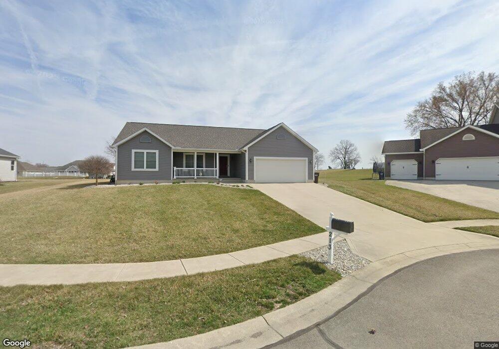
213 Swiss Cir Bluffton, OH 45817
Estimated Value: $310,000 - $362,000
3
Beds
2
Baths
1,788
Sq Ft
$190/Sq Ft
Est. Value
About This Home
This home is located at 213 Swiss Cir, Bluffton, OH 45817 and is currently estimated at $340,477, approximately $190 per square foot. 213 Swiss Cir is a home with nearby schools including Bluffton Elementary School, Bluffton Middle School, and Bluffton High School.
Ownership History
Date
Name
Owned For
Owner Type
Purchase Details
Closed on
Aug 28, 2015
Sold by
Yeagle Charles M and Yeagle Mamie I
Bought by
Smith Gregus and Smith Joyce M
Current Estimated Value
Purchase Details
Closed on
May 7, 2008
Sold by
Smith Larry S and Smith Heidi K
Bought by
Yeagle Charles M and Yeagle Mamie I
Purchase Details
Closed on
Mar 8, 2007
Sold by
Degen Excavating Company Inc
Bought by
Smith Larry S and Smith Heidi K
Create a Home Valuation Report for This Property
The Home Valuation Report is an in-depth analysis detailing your home's value as well as a comparison with similar homes in the area
Home Values in the Area
Average Home Value in this Area
Purchase History
| Date | Buyer | Sale Price | Title Company |
|---|---|---|---|
| Smith Gregus | $32,900 | None Available | |
| Yeagle Charles M | $32,900 | Attorney | |
| Smith Larry S | $32,900 | None Available |
Source: Public Records
Tax History Compared to Growth
Tax History
| Year | Tax Paid | Tax Assessment Tax Assessment Total Assessment is a certain percentage of the fair market value that is determined by local assessors to be the total taxable value of land and additions on the property. | Land | Improvement |
|---|---|---|---|---|
| 2024 | $3,639 | $110,080 | $18,550 | $91,530 |
| 2023 | $3,089 | $86,670 | $14,600 | $72,070 |
| 2022 | $2,970 | $82,500 | $14,600 | $67,900 |
| 2021 | $2,989 | $82,500 | $14,600 | $67,900 |
| 2020 | $2,565 | $63,980 | $13,790 | $50,190 |
| 2019 | $2,565 | $63,980 | $13,790 | $50,190 |
| 2018 | $2,575 | $63,980 | $13,790 | $50,190 |
| 2017 | $2,239 | $55,620 | $13,790 | $41,830 |
| 2016 | $2,167 | $53,620 | $13,790 | $39,830 |
| 2015 | $465 | $11,030 | $11,030 | $0 |
| 2014 | $465 | $10,710 | $10,710 | $0 |
| 2013 | $426 | $10,710 | $10,710 | $0 |
Source: Public Records
Map
Nearby Homes
- 0 State Route 103
- 135 Grove St
- 430 S Jackson St
- 217 Grove St
- 513 S Jackson St
- 301 Parkview Dr
- 303 Parkview Dr
- 222 Grove St
- 305 Parkview Dr
- 136 N Spring St
- 307 Parkview Dr
- 313 Parkview Dr
- 315 Parkview Dr
- 317 Parkview Dr
- 319 Parkview Dr
- 321 Parkview Dr
- 327 Parkview Dr
- 329 Parkview Dr
- 331 Parkview Dr
- 333 Parkview Dr