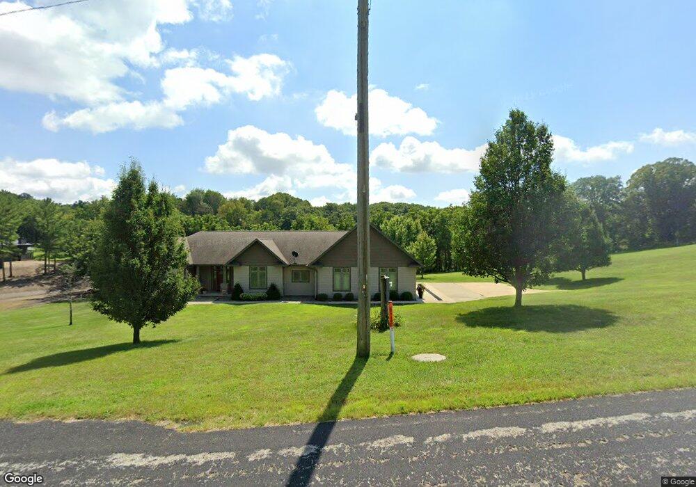
213 W Main St Saint Lucas, IA 52166
Estimated Value: $183,000 - $443,000
5
Beds
5
Baths
2,028
Sq Ft
$162/Sq Ft
Est. Value
About This Home
This home is located at 213 W Main St, Saint Lucas, IA 52166 and is currently estimated at $329,495, approximately $162 per square foot. 213 W Main St is a home with nearby schools including Turkey Valley Elementary School and Turkey Valley Junior/Senior High School.
Ownership History
Date
Name
Owned For
Owner Type
Purchase Details
Closed on
Jun 15, 2023
Sold by
Audrey Drilling Revocable Trust
Bought by
Kuennen Morgan Claire and Walz Andre Allen
Current Estimated Value
Home Financials for this Owner
Home Financials are based on the most recent Mortgage that was taken out on this home.
Original Mortgage
$200,000
Outstanding Balance
$194,825
Interest Rate
6.57%
Mortgage Type
New Conventional
Estimated Equity
$134,670
Create a Home Valuation Report for This Property
The Home Valuation Report is an in-depth analysis detailing your home's value as well as a comparison with similar homes in the area
Home Values in the Area
Average Home Value in this Area
Purchase History
| Date | Buyer | Sale Price | Title Company |
|---|---|---|---|
| Kuennen Morgan Claire | $410,000 | None Listed On Document |
Source: Public Records
Mortgage History
| Date | Status | Borrower | Loan Amount |
|---|---|---|---|
| Open | Kuennen Morgan Claire | $200,000 |
Source: Public Records
Tax History Compared to Growth
Tax History
| Year | Tax Paid | Tax Assessment Tax Assessment Total Assessment is a certain percentage of the fair market value that is determined by local assessors to be the total taxable value of land and additions on the property. | Land | Improvement |
|---|---|---|---|---|
| 2025 | $5,020 | $387,480 | $19,980 | $367,500 |
| 2024 | $5,020 | $349,130 | $19,980 | $329,150 |
| 2023 | $4,784 | $349,130 | $19,980 | $329,150 |
| 2022 | $4,808 | $280,000 | $16,650 | $263,350 |
| 2021 | $4,808 | $280,000 | $16,650 | $263,350 |
| 2020 | $5,980 | $330,760 | $28,450 | $302,310 |
| 2019 | $4,752 | $261,380 | $0 | $0 |
| 2018 | $4,494 | $261,380 | $0 | $0 |
| 2017 | $4,640 | $252,590 | $0 | $0 |
| 2016 | $4,448 | $252,590 | $0 | $0 |
| 2015 | $4,448 | $0 | $0 | $0 |
| 2014 | $236 | $0 | $0 | $0 |
Source: Public Records
Map
Nearby Homes
- 115 S Main St
- 14973 Nature Rd
- 28882 Pine St
- 2584 Wild Rose Rd
- 705 Iowa 150
- 302 S West St
- 206 E Clark St
- 108 N 1st St
- 201 N Melden St
- 302 E Main St
- 213 W Main St
- 218 Pearl St
- 407 W North St
- 203 N Iowa St
- 204 Railroad St
- 304 Auburn St
- 701 Northwestern Ave
- 107 Union Ridge Dr
- 601 Russell Ave
- 110 Lilac Ave
- 221 W Main St
- 208 W Main St
- 204 W Main St
- 201 SW Summer Dr
- 234 W Main St
- 121 W Main St
- 109 Spring St NW
- 108 NW Spring St
- 117 W Main St
- 237 W Main St
- 128 NW Spring St
- 115 N Main St
- 115 Spring St NW
- 116 SW Summer Dr
- 115 SW Summer Dr
- 123 Spring St NW
- 112 Spring St NW
- 116 Spring St NW
- 121 Spring St NW
- 110 SW Autumn Dr