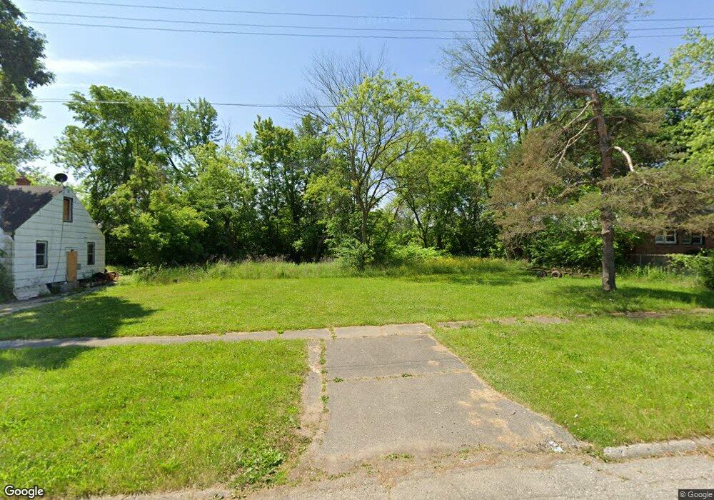
213 W Philadelphia Blvd Flint, MI 48505
King Avenue Plus NeighborhoodEstimated Value: $48,000
3
Beds
1
Bath
994
Sq Ft
$48/Sq Ft
Est. Value
About This Home
This home is located at 213 W Philadelphia Blvd, Flint, MI 48505 and is currently estimated at $48,000, approximately $48 per square foot. 213 W Philadelphia Blvd is a home located in Genesee County with nearby schools including Brownell STEM Academy, The New Standard Academy, and Eagle's Nest Academy.
Ownership History
Date
Name
Owned For
Owner Type
Purchase Details
Closed on
Dec 20, 2017
Sold by
Genesse Coty Tresurer
Bought by
Genesse County Land Bank
Current Estimated Value
Purchase Details
Closed on
Dec 20, 2013
Sold by
Genesee County Treasurer
Bought by
Genesee County Land Bank
Purchase Details
Closed on
Sep 11, 2008
Sold by
Stair Philip G and Genesee County Land Bank Autho
Bought by
Bradley Gregory
Purchase Details
Closed on
Dec 21, 2007
Sold by
Kildee Daniel T and Genesee County Treasurer
Bought by
Genesee County Land Bank Authority
Create a Home Valuation Report for This Property
The Home Valuation Report is an in-depth analysis detailing your home's value as well as a comparison with similar homes in the area
Home Values in the Area
Average Home Value in this Area
Purchase History
| Date | Buyer | Sale Price | Title Company |
|---|---|---|---|
| Genesse County Land Bank | -- | None Available | |
| Genesee County Land Bank | -- | None Available | |
| Bradley Gregory | $5,000 | None Available | |
| Genesee County Land Bank Authority | -- | None Available |
Source: Public Records
Tax History Compared to Growth
Tax History
| Year | Tax Paid | Tax Assessment Tax Assessment Total Assessment is a certain percentage of the fair market value that is determined by local assessors to be the total taxable value of land and additions on the property. | Land | Improvement |
|---|---|---|---|---|
| 2025 | -- | $0 | $0 | $0 |
| 2024 | -- | $0 | $0 | $0 |
| 2023 | -- | $0 | $0 | $0 |
| 2022 | $0 | $0 | $0 | $0 |
| 2021 | $0 | $0 | $0 | $0 |
| 2020 | $0 | $0 | $0 | $0 |
| 2019 | $670 | $0 | $0 | $0 |
| 2018 | $221 | $0 | $0 | $0 |
| 2017 | $521 | $0 | $0 | $0 |
| 2016 | $670 | $0 | $0 | $0 |
| 2015 | -- | $0 | $0 | $0 |
| 2014 | -- | $0 | $0 | $0 |
| 2012 | -- | $300 | $0 | $0 |
Source: Public Records
Map
Nearby Homes
- 329 W Baltimore Blvd
- 325 W Marengo Ave
- 306 W Bishop Ave
- 124 W Flint Park Blvd
- 525 W Pulaski Ave
- 609 W Marengo Ave
- 114 W Stewart Ave
- 702/718 W Flint Park Blvd
- 606 W Stewart Ave
- 4808 Edwards Ave
- 5210 Dupont St
- 4515 Baldwin Blvd
- 313 Edwin Ave
- 5318 Baldwin Blvd
- 402 W Gracelawn Ave
- 618 E Pulaski Ave
- 370 E Moore St
- 5714 Suburban Ct
- 350 E Mott Ave
- 5610 Baldwin Blvd
- 207 W Philadelphia Blvd
- 217 W Philadelphia Blvd
- 218 W Baltimore Blvd
- 201 W Philadelphia Blvd
- 210 W Baltimore Blvd
- 214 W Baltimore Blvd
- 225 W Philadelphia Blvd
- 206 W Baltimore Blvd
- 127 W Philadelphia Blvd
- 202 W Baltimore Blvd
- 214 W Philadelphia Blvd
- 218 W Philadelphia Blvd
- 123 W Philadelphia Blvd
- 222 W Philadelphia Blvd
- 206 W Philadelphia Blvd
- 130 W Baltimore Blvd
- 301 W Philadelphia Blvd
- 302 W Baltimore Blvd
- 221 W Baltimore Blvd
- 230 W Philadelphia Blvd