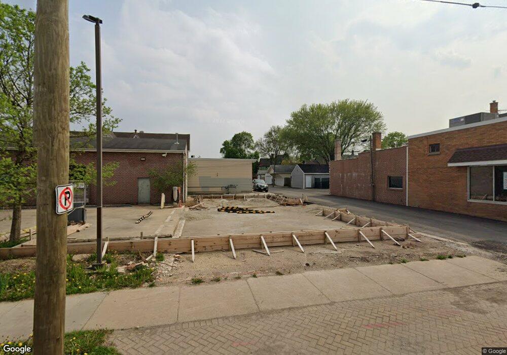
213 Walnut Ave Elgin, IL 60123
Southwest Elgin Neighborhood
Studio
--
Bath
3,448
Sq Ft
2,614
Sq Ft Lot
About This Home
This home is located at 213 Walnut Ave, Elgin, IL 60123. 213 Walnut Ave is a home located in Kane County with nearby schools including Lowrie Elementary School, Abbott Middle School, and Larkin High School.
Ownership History
Date
Name
Owned For
Owner Type
Purchase Details
Closed on
Jan 17, 2019
Sold by
Krish Ria Real Estate Inc
Bought by
South State Street Llc
Purchase Details
Closed on
Aug 18, 2014
Sold by
Loeb Marian Ginsberg
Bought by
Kaish Ria Real Estate Inc
Home Financials for this Owner
Home Financials are based on the most recent Mortgage that was taken out on this home.
Original Mortgage
$53,000
Interest Rate
4.1%
Mortgage Type
Future Advance Clause Open End Mortgage
Create a Home Valuation Report for This Property
The Home Valuation Report is an in-depth analysis detailing your home's value as well as a comparison with similar homes in the area
Home Values in the Area
Average Home Value in this Area
Purchase History
| Date | Buyer | Sale Price | Title Company |
|---|---|---|---|
| South State Street Llc | $1,600,000 | Attorney | |
| Kaish Ria Real Estate Inc | $70,000 | Chicago Title Insurance Co |
Source: Public Records
Mortgage History
| Date | Status | Borrower | Loan Amount |
|---|---|---|---|
| Previous Owner | Kaish Ria Real Estate Inc | $53,000 | |
| Closed | South State Street Llc | $0 |
Source: Public Records
Tax History
| Year | Tax Paid | Tax Assessment Tax Assessment Total Assessment is a certain percentage of the fair market value that is determined by local assessors to be the total taxable value of land and additions on the property. | Land | Improvement |
|---|---|---|---|---|
| 2024 | $1,069 | $13,353 | $13,353 | -- |
| 2023 | $1,028 | $12,063 | $12,063 | -- |
| 2022 | $954 | $10,999 | $10,999 | $0 |
| 2021 | $2,766 | $31,008 | $10,283 | $20,725 |
| 2020 | $2,700 | $29,602 | $9,817 | $19,785 |
| 2019 | $2,634 | $28,197 | $9,351 | $18,846 |
| 2018 | $2,636 | $26,563 | $8,809 | $17,754 |
| 2017 | $2,777 | $27,002 | $8,955 | $18,047 |
| 2016 | $2,904 | $27,229 | $9,030 | $18,199 |
| 2015 | -- | $24,958 | $8,277 | $16,681 |
| 2014 | -- | $35,126 | $8,175 | $26,951 |
| 2013 | -- | $36,053 | $8,391 | $27,662 |
Source: Public Records
Map
Nearby Homes
- 3 National St Unit 3
- 7 National St Unit 7
- 162 Festival Ct
- 331 Orange St
- 96 S Crystal St
- 211 Prairie St
- 462 Ashland Ave
- 208 Moseley St
- 216 Prairie St
- 552 Walnut Ave
- 277 Gifford Place
- 262 Bartlett Place
- 286 Villa St
- 9 N Jackson St
- 332-334 St Charles St
- 532 South St
- 518 Raymond St
- 483 Barrett St
- 315 Vandalia St
- 761 South St
- 219 Walnut Ave
- 225 Walnut Ave Unit 27
- 210 Walnut Ave
- 315 Griswold St
- 319 Griswold St
- 271 S State St Unit 2SW
- 271 S State St Unit 1SW
- 271 S State St
- 325 Griswold St
- 1 National St
- 1 National St Unit 1
- 1 National St Unit 3
- 5 National St Unit 5
- 1-13 National St
- 250 Walnut Ave
- 252 S State St
- 269 S State St
- 267 S State St
- 6 National St Unit 1
- 6 National St Unit 2
Your Personal Tour Guide
Ask me questions while you tour the home.