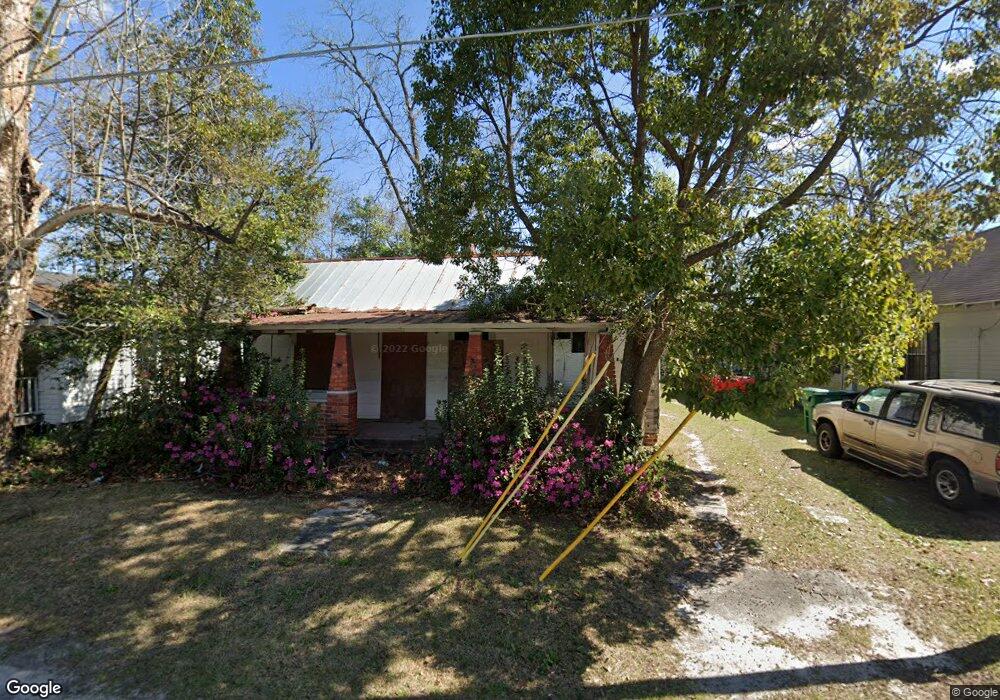
213 Walnut St Valdosta, GA 31601
Estimated Value: $54,000 - $86,925
--
Bed
1
Bath
841
Sq Ft
$75/Sq Ft
Est. Value
About This Home
This home is located at 213 Walnut St, Valdosta, GA 31601 and is currently estimated at $63,481, approximately $75 per square foot. 213 Walnut St is a home located in Lowndes County with nearby schools including S.L. Mason Elementary School, Valdosta Middle School, and Valdosta High School.
Ownership History
Date
Name
Owned For
Owner Type
Purchase Details
Closed on
Nov 12, 2012
Sold by
French Jerry M
Bought by
Valdosta Lowndes County Habita
Current Estimated Value
Purchase Details
Closed on
Jan 21, 2009
Sold by
French Jerry M
Bought by
Dominey Timothy C
Purchase Details
Closed on
Oct 17, 2007
Sold by
Driggers Walker
Bought by
French Jerry M
Purchase Details
Closed on
Jun 2, 1987
Sold by
First Federal Savings & Loan Assoc
Bought by
Driggers Walker and Tim Dominey C
Purchase Details
Closed on
May 17, 1984
Bought by
Lane Larry
Purchase Details
Closed on
Aug 7, 1975
Bought by
Wright Jimmy Lee
Create a Home Valuation Report for This Property
The Home Valuation Report is an in-depth analysis detailing your home's value as well as a comparison with similar homes in the area
Home Values in the Area
Average Home Value in this Area
Purchase History
| Date | Buyer | Sale Price | Title Company |
|---|---|---|---|
| Valdosta Lowndes County Habita | -- | -- | |
| Dominey Timothy C | -- | -- | |
| French Jerry M | $5,000 | -- | |
| Driggers Walker | -- | -- | |
| Lane Larry | -- | -- | |
| Wright Jimmy Lee | -- | -- |
Source: Public Records
Tax History Compared to Growth
Tax History
| Year | Tax Paid | Tax Assessment Tax Assessment Total Assessment is a certain percentage of the fair market value that is determined by local assessors to be the total taxable value of land and additions on the property. | Land | Improvement |
|---|---|---|---|---|
| 2024 | -- | $4,239 | $757 | $3,482 |
| 2023 | $107 | $4,239 | $757 | $3,482 |
| 2022 | $107 | $3,163 | $757 | $2,406 |
| 2021 | $105 | $3,163 | $757 | $2,406 |
| 2020 | $105 | $3,163 | $757 | $2,406 |
| 2019 | $105 | $3,163 | $757 | $2,406 |
| 2018 | $0 | $3,163 | $757 | $2,406 |
| 2017 | $0 | $3,163 | $757 | $2,406 |
| 2016 | $0 | $3,164 | $757 | $2,406 |
| 2015 | -- | $3,164 | $757 | $2,406 |
| 2014 | -- | $3,164 | $757 | $2,406 |
Source: Public Records
Map
Nearby Homes
- 614 Lamar St
- 808 W Adair St
- 724 J L Lomax Dr
- 704 3rd Ave
- 410 Floyd St
- 0 Canal St
- 410 W Adair St
- 820 W Gordon St
- * Sustella - Green Unit 3
- 803 Johnson St
- 701 Johnson St
- 203 Cherry St
- 201 N Wells St
- 516 N Oak St
- 404 Floyd St
- 1100 W Hill Ave
- 1202 Melissa Dr
- 1815 W Hill Ave
- 2103 W Hill Ave
- Trx 4&5 W Hill Ave