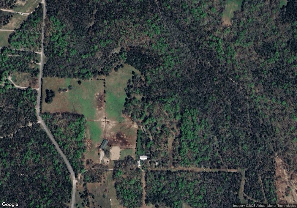
2130 Joe Brown Rd Spring Hill, TN 37174
--
Bed
2
Baths
2,356
Sq Ft
59.73
Acres
About This Home
This home is located at 2130 Joe Brown Rd, Spring Hill, TN 37174. 2130 Joe Brown Rd is a home located in Maury County with nearby schools including Battle Creek Elementary School, Battle Creek Middle School, and Spring Hill High School.
Create a Home Valuation Report for This Property
The Home Valuation Report is an in-depth analysis detailing your home's value as well as a comparison with similar homes in the area
Home Values in the Area
Average Home Value in this Area
Tax History Compared to Growth
Map
Nearby Homes
- 2089 Joe Brown Rd
- 2132 Lasea Rd
- 2350 Joe Brown Rd
- 2412 Joe Brown Rd
- 0 Lasea Rd Unit RTC2979726
- 0 Lasea Rd Unit RTC2908032
- 1919 Rally Hill Rd
- 5010 John Lee Johnson Rd
- 1805 Ableson Way
- 1920 Hildebrand Ln
- 1914 Hildebrand Ln
- Dahlia Plan at Bear Creek by Drees Homes - Bear Creek Overlook
- Alton Plan at Bear Creek by Drees Homes - Bear Creek Overlook
- Wellsley Plan at Bear Creek by Drees Homes - Bear Creek Overlook
- COURTLAND Plan at Bear Creek by Drees Homes - Bear Creek Overlook
- Leighland Plan at Bear Creek by Drees Homes - Bear Creek Overlook
- Kinsley Plan at Bear Creek by Drees Homes - Bear Creek Overlook
- Paisley Plan at Bear Creek by Drees Homes - Bear Creek Overlook
- Damien Plan at Bear Creek by Drees Homes - Bear Creek Overlook
- Rosland II Plan at Bear Creek by Drees Homes - Bear Creek Overlook
- 0 Joe Brown Rd
- 2181 Joe Brown Rd
- 2105 Joe Brown Rd
- 2113 Joe Brown Rd
- 2193 Joe Brown Rd
- 2211 Joe Brown Rd
- 2209 Joe Brown Rd Unit 2211
- 2205 Joe Brown Rd
- 2197 Joe Brown Rd
- 2133 Joe Brown Rd
- 2231 Joe Brown Rd
- 2256 Joe Brown Rd
- 2239 Joe Brown Rd
- 0 Lasea Rd E
- 2245 Joe Brown Rd
- 2110 Joe Brown Rd
- 2109 Joe Brown Rd
- 2045 Joe Brown Rd
- 2035 Joe Brown Rd
- 2055 Joe Brown Rd