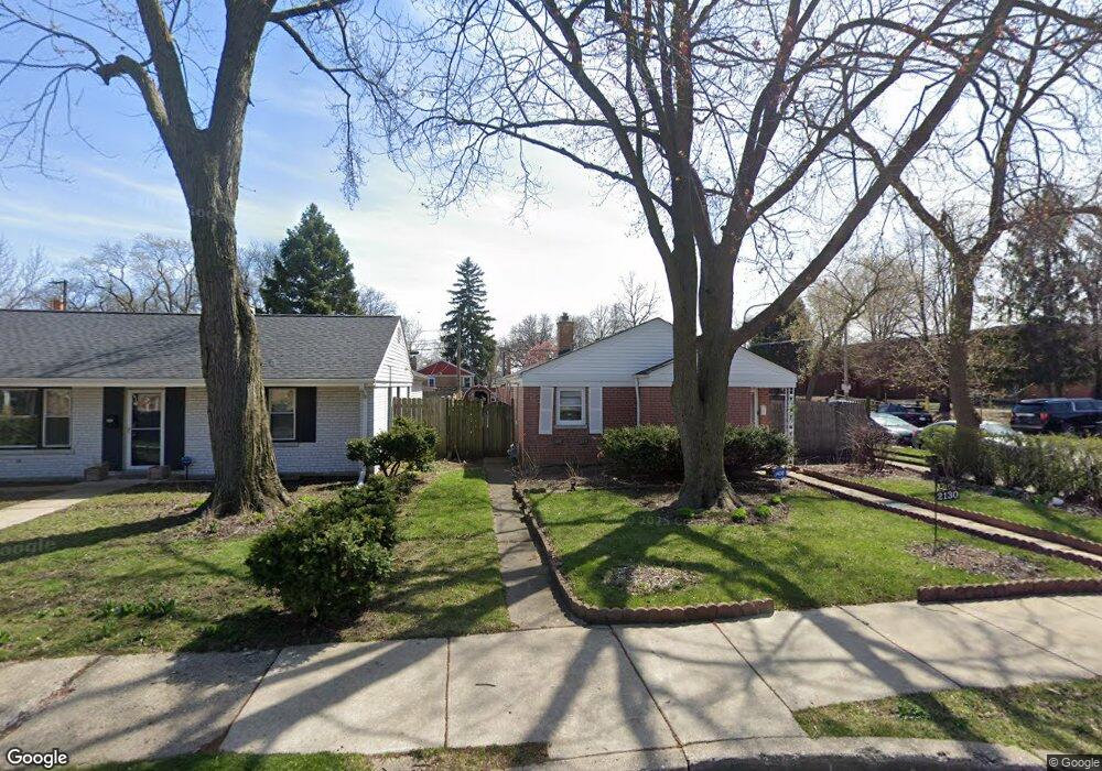
2130 Keeney St Evanston, IL 60202
Southwest Evanston NeighborhoodEstimated Value: $354,000 - $472,000
3
Beds
1
Bath
1,299
Sq Ft
$322/Sq Ft
Est. Value
About This Home
This home is located at 2130 Keeney St, Evanston, IL 60202 and is currently estimated at $418,037, approximately $321 per square foot. 2130 Keeney St is a home located in Cook County with nearby schools including Dawes Elementary School, Chute Middle School, and Evanston Township High School.
Ownership History
Date
Name
Owned For
Owner Type
Purchase Details
Closed on
Nov 23, 2016
Sold by
Ingram Marshall and Ingram Mammie J
Bought by
Ingram Mammie J and Ingram Marshall
Current Estimated Value
Purchase Details
Closed on
Feb 21, 1997
Sold by
Decker Duane and Decker Jodi
Bought by
Joones David B and Williams Tiffany D
Home Financials for this Owner
Home Financials are based on the most recent Mortgage that was taken out on this home.
Original Mortgage
$123,875
Outstanding Balance
$14,474
Interest Rate
7.93%
Mortgage Type
FHA
Estimated Equity
$403,563
Create a Home Valuation Report for This Property
The Home Valuation Report is an in-depth analysis detailing your home's value as well as a comparison with similar homes in the area
Home Values in the Area
Average Home Value in this Area
Purchase History
| Date | Buyer | Sale Price | Title Company |
|---|---|---|---|
| Ingram Mammie J | -- | Attorney | |
| Joones David B | $125,000 | -- |
Source: Public Records
Mortgage History
| Date | Status | Borrower | Loan Amount |
|---|---|---|---|
| Open | Joones David B | $123,875 |
Source: Public Records
Tax History Compared to Growth
Tax History
| Year | Tax Paid | Tax Assessment Tax Assessment Total Assessment is a certain percentage of the fair market value that is determined by local assessors to be the total taxable value of land and additions on the property. | Land | Improvement |
|---|---|---|---|---|
| 2024 | $2,872 | $25,342 | $6,233 | $19,109 |
| 2023 | $2,842 | $28,000 | $6,233 | $21,767 |
| 2022 | $2,842 | $28,000 | $6,233 | $21,767 |
| 2021 | $3,164 | $23,103 | $4,414 | $18,689 |
| 2020 | $2,907 | $23,103 | $4,414 | $18,689 |
| 2019 | $2,875 | $25,756 | $4,414 | $21,342 |
| 2018 | $3,368 | $19,022 | $3,635 | $15,387 |
| 2017 | $3,223 | $19,022 | $3,635 | $15,387 |
| 2016 | $3,778 | $19,022 | $3,635 | $15,387 |
| 2015 | $4,211 | $20,029 | $3,116 | $16,913 |
| 2014 | $4,084 | $20,029 | $3,116 | $16,913 |
| 2013 | $3,590 | $20,029 | $3,116 | $16,913 |
Source: Public Records
Map
Nearby Homes
- 1927 Warren St
- 2213 Cleveland St
- 1916 Keeney St
- 604 Dodge Ave
- 722 Brown Ave
- 1810 South Blvd
- 325 Dodge Ave
- 235 Richmond St
- 1810 Washington St
- 220 Richmond St
- 401 Dewey Ave
- 309 Darrow Ave
- 215 Brown Ave
- 2011 Brummel St
- 930 Pitner Ave Unit 3
- 2130 Brummel St
- 419 Florence Ave
- 2321 Lee St
- 532 Wesley Ave Unit WEST
- 1408 Seward St
- 2126 Keeney St
- 2122 Keeney St
- 2118 Keeney St
- 2131 Warren St
- 2127 Warren St
- 2123 Warren St
- 2114 Keeney St
- 2119 Warren St
- 2131 Keeney St
- 550 Hartrey Ave Unit D
- 550 Hartrey Ave
- 2127 Keeney St
- 2123 Keeney St
- 2115 Warren St
- 2110 Keeney St
- 2119 Keeney St
- 2111 Warren St
- 600 Hartrey Ave Unit 1A
- 600 Hartrey Ave Unit 1R
- 600 Hartrey Ave Unit 200