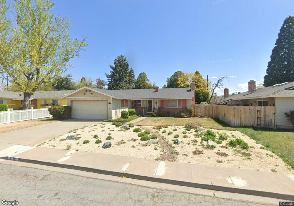
2130 Lexington Way Sparks, NV 89431
North Rock NeighborhoodEstimated Value: $379,546 - $462,000
3
Beds
2
Baths
1,344
Sq Ft
$322/Sq Ft
Est. Value
About This Home
This home is located at 2130 Lexington Way, Sparks, NV 89431 and is currently estimated at $433,137, approximately $322 per square foot. 2130 Lexington Way is a home located in Washoe County with nearby schools including Alice Maxwell Elementary School, Sparks Middle School, and Sparks High School.
Ownership History
Date
Name
Owned For
Owner Type
Purchase Details
Closed on
May 30, 2015
Sold by
Mull Nancy
Bought by
Mull Nancy and The Nancy Mull Living Trust
Current Estimated Value
Purchase Details
Closed on
Jul 31, 1998
Sold by
Boundy Shayne and Boundy Sheila M
Bought by
Mull Nancy A
Home Financials for this Owner
Home Financials are based on the most recent Mortgage that was taken out on this home.
Original Mortgage
$105,750
Interest Rate
6.9%
Purchase Details
Closed on
May 9, 1994
Sold by
Jones Elizabeth P
Bought by
Boundy Shayne and Boundy Sheila M
Home Financials for this Owner
Home Financials are based on the most recent Mortgage that was taken out on this home.
Original Mortgage
$115,747
Interest Rate
8.52%
Mortgage Type
FHA
Create a Home Valuation Report for This Property
The Home Valuation Report is an in-depth analysis detailing your home's value as well as a comparison with similar homes in the area
Home Values in the Area
Average Home Value in this Area
Purchase History
| Date | Buyer | Sale Price | Title Company |
|---|---|---|---|
| Mull Nancy | -- | None Available | |
| Mull Nancy A | $132,500 | First Centennial Title Co | |
| Boundy Shayne | $118,000 | Founders Title Company |
Source: Public Records
Mortgage History
| Date | Status | Borrower | Loan Amount |
|---|---|---|---|
| Previous Owner | Mull Nancy A | $105,750 | |
| Previous Owner | Boundy Shayne | $115,747 |
Source: Public Records
Tax History Compared to Growth
Tax History
| Year | Tax Paid | Tax Assessment Tax Assessment Total Assessment is a certain percentage of the fair market value that is determined by local assessors to be the total taxable value of land and additions on the property. | Land | Improvement |
|---|---|---|---|---|
| 2025 | $834 | $55,691 | $34,825 | $20,866 |
| 2024 | $834 | $50,773 | $30,205 | $20,568 |
| 2023 | $810 | $50,807 | $31,780 | $19,027 |
| 2022 | $789 | $42,665 | $27,160 | $15,505 |
| 2021 | $767 | $33,359 | $18,235 | $15,124 |
| 2020 | $742 | $32,692 | $17,850 | $14,842 |
| 2019 | $721 | $31,668 | $17,605 | $14,063 |
| 2018 | $697 | $25,835 | $12,355 | $13,480 |
| 2017 | $680 | $24,471 | $11,235 | $13,236 |
| 2016 | $662 | $23,022 | $9,765 | $13,257 |
| 2015 | -- | $21,638 | $8,645 | $12,993 |
| 2014 | $643 | $18,624 | $6,335 | $12,289 |
| 2013 | -- | $16,794 | $4,900 | $11,894 |
Source: Public Records
Map
Nearby Homes
- 1003 Sbragia Way
- 1705 9th St
- 1110 Xman Way
- 1124 Sbragia Way
- 1160 York Way
- 1121 Greenbrae Dr
- 1125 Dodson Way
- 1945 4th St Unit 32
- 1945 4th St Unit 33
- 1945 4th St Unit 10
- 1345 Plymouth Way
- 1940 4th St Unit 20
- 1940 4th St Unit 51
- 1365 Prospect Ave
- 2154 Oppio St
- 1595 York Way
- 1655 Byrd Dr
- 465 Lenwood Dr
- 0 N Mccarran Blvd Unit 250052909
- 985 10th St
- 2140 Lexington Way
- 2100 Lexington Way
- 2131 Logan Way
- 2101 Logan Way
- 2141 Logan Way
- 2160 Lexington Way
- 2131 Lexington Way
- 2121 Lexington Way
- 2141 Lexington Way
- 2161 Logan Way
- 2101 Lexington Way
- 927 Tyler Way Unit E37
- 2161 Lexington Way
- 960 Tyler Way
- 951 Tyler Way Unit 36
- 2220 Lexington Way
- 933 Tyler Way
- 901 Tyler Way
- 2225 Logan Way
- 2130 Logan Way