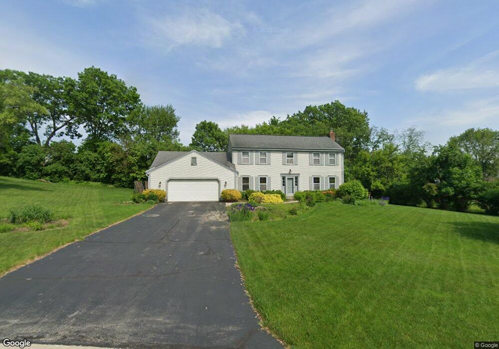
2130 Possum Ct Brookfield, WI 53045
Estimated Value: $509,000 - $539,000
4
Beds
3
Baths
2,074
Sq Ft
$255/Sq Ft
Est. Value
About This Home
This home is located at 2130 Possum Ct, Brookfield, WI 53045 and is currently estimated at $528,963, approximately $255 per square foot. 2130 Possum Ct is a home located in Waukesha County with nearby schools including Brookfield Elementary School, Wisconsin Hills Middle School, and Brookfield Central High School.
Ownership History
Date
Name
Owned For
Owner Type
Purchase Details
Closed on
Mar 17, 1999
Sold by
Vanderboom Daniel J
Bought by
Haralson Craig S and Haralson Kristine A
Current Estimated Value
Home Financials for this Owner
Home Financials are based on the most recent Mortgage that was taken out on this home.
Original Mortgage
$150,000
Outstanding Balance
$37,390
Interest Rate
7.1%
Mortgage Type
Purchase Money Mortgage
Estimated Equity
$491,573
Create a Home Valuation Report for This Property
The Home Valuation Report is an in-depth analysis detailing your home's value as well as a comparison with similar homes in the area
Home Values in the Area
Average Home Value in this Area
Purchase History
| Date | Buyer | Sale Price | Title Company |
|---|---|---|---|
| Haralson Craig S | $230,000 | -- |
Source: Public Records
Mortgage History
| Date | Status | Borrower | Loan Amount |
|---|---|---|---|
| Open | Haralson Craig S | $150,000 |
Source: Public Records
Tax History Compared to Growth
Tax History
| Year | Tax Paid | Tax Assessment Tax Assessment Total Assessment is a certain percentage of the fair market value that is determined by local assessors to be the total taxable value of land and additions on the property. | Land | Improvement |
|---|---|---|---|---|
| 2024 | $4,303 | $390,000 | $135,000 | $255,000 |
| 2023 | $4,299 | $390,000 | $135,000 | $255,000 |
| 2022 | $4,575 | $323,600 | $130,000 | $193,600 |
| 2021 | $4,842 | $323,600 | $130,000 | $193,600 |
| 2020 | $5,064 | $323,600 | $130,000 | $193,600 |
| 2019 | $4,860 | $323,600 | $130,000 | $193,600 |
| 2018 | $4,836 | $312,600 | $120,000 | $192,600 |
| 2017 | $4,843 | $312,600 | $120,000 | $192,600 |
| 2016 | $4,913 | $312,600 | $120,000 | $192,600 |
| 2015 | $4,888 | $312,600 | $120,000 | $192,600 |
| 2014 | $5,070 | $312,600 | $120,000 | $192,600 |
| 2013 | $5,070 | $312,600 | $120,000 | $192,600 |
Source: Public Records
Map
Nearby Homes
- 21380 Woodchuck Ln
- 21300 Astolat Dr
- 2410 Talbots Ln
- 21905 W North Ave
- 20780 Tennyson Dr
- 21965 Valiant Dr
- N19W22081 Foxview Ct Unit 2B
- 1660 Constitution Dr
- 21330 Hollycrest Ct
- W223N2314 Meadowood Ln
- 20025 Freedom Ct
- 7034 Stonewood Ln
- 7038 Stonewood Ln
- 7018 Stonewood Ln
- 7022 Stonewood Ln
- Lt119 Berwick Ct
- Lt117 Berwick Ct
- Lt115 Berwick Ct
- Lt120 Berwick Ct
- Lt116 Berwick Ct
- 2100 Possum Ct
- 2075 Carrington Dr
- 2160 Possum Ct
- 2055 Carrington Dr
- 2105 Brighton Ct
- 2170 Possum Ct
- 2085 Possum Ct
- 2115 Possum Ct
- 2025 Carrington Dr
- 2060 Possum Ct
- 2125 Brighton Ct
- 2165 Possum Ct
- 2050 Carrington Dr
- 2135 Possum Ct
- 21210 W North Ave
- 2090 Carrington Dr
- 21300 Woodchuck Ln
- 21150 Stratford Ct
- 21350 Woodchuck Ln
- 2135 Carrington Dr