2130 Shoal Rd Lincolnton, NC 28092
Estimated Value: $85,333 - $205,000
3
Beds
2
Baths
1,080
Sq Ft
$131/Sq Ft
Est. Value
About This Home
This home is located at 2130 Shoal Rd, Lincolnton, NC 28092 and is currently estimated at $141,583, approximately $131 per square foot. 2130 Shoal Rd is a home located in Lincoln County with nearby schools including Norris S. Childers Elementary School, West Lincoln Middle, and West Lincoln High School.
Ownership History
Date
Name
Owned For
Owner Type
Purchase Details
Closed on
May 23, 2019
Sold by
Wise Wayne Cletus and Wise Johnnie
Bought by
Owens Sunset and Owens Donna
Current Estimated Value
Home Financials for this Owner
Home Financials are based on the most recent Mortgage that was taken out on this home.
Original Mortgage
$37,150
Outstanding Balance
$24,182
Interest Rate
4.1%
Mortgage Type
New Conventional
Estimated Equity
$117,401
Create a Home Valuation Report for This Property
The Home Valuation Report is an in-depth analysis detailing your home's value as well as a comparison with similar homes in the area
Home Values in the Area
Average Home Value in this Area
Purchase History
| Date | Buyer | Sale Price | Title Company |
|---|---|---|---|
| Owens Sunset | $46,000 | None Available |
Source: Public Records
Mortgage History
| Date | Status | Borrower | Loan Amount |
|---|---|---|---|
| Open | Owens Sunset | $37,150 |
Source: Public Records
Tax History Compared to Growth
Tax History
| Year | Tax Paid | Tax Assessment Tax Assessment Total Assessment is a certain percentage of the fair market value that is determined by local assessors to be the total taxable value of land and additions on the property. | Land | Improvement |
|---|---|---|---|---|
| 2025 | $668 | $83,202 | $27,123 | $56,079 |
| 2024 | $648 | $83,202 | $27,123 | $56,079 |
| 2023 | $643 | $83,202 | $27,123 | $56,079 |
| 2022 | $498 | $50,729 | $21,248 | $29,481 |
| 2021 | $498 | $50,729 | $21,248 | $29,481 |
| 2020 | $373 | $50,729 | $21,248 | $29,481 |
| 2019 | $373 | $50,729 | $21,248 | $29,481 |
| 2018 | $426 | $44,018 | $19,686 | $24,332 |
| 2017 | $323 | $44,018 | $19,686 | $24,332 |
| 2016 | $323 | $44,018 | $19,686 | $24,332 |
| 2015 | $421 | $46,685 | $19,686 | $26,999 |
| 2014 | $480 | $56,511 | $20,623 | $35,888 |
Source: Public Records
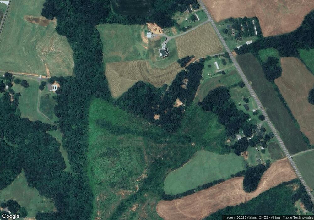
Map
Nearby Homes
- 2124 Shoal Rd
- 5740 Crouse Rd
- 2488 Shoal Rd
- 1495 Leonards Fork Church Rd
- 5199 Helms End of Trail
- 000 Leonards Fork Church Rd
- 2006 Kollege Ln
- 1357 Malden Ct
- 00 Flay Rd
- 1000 Creekside Dr
- 4850 Gideon Dr
- 5118 Flay Rd
- 00 N Carolina 182
- 1084 Lyndsey Brook Ct
- 3103 Richview Dr
- 4832 Gideon Dr
- 1074 Lyndsey Brook Ct
- 2449 Leonhardt Rd
- 1470 Requa Rd
- 543 Roy Eaker Rd
- 2078 Shoal Rd
- 2194 Shoal Rd
- 2058 Shoal Rd
- 2050 Shoal Rd
- 2034 Shoal Rd
- 2216 Shoal Rd
- 2151 Johnstown Rd
- 2085 Shoal Rd
- 2014 Shoal Rd
- 2289 Shoal Rd
- 1993 Shoal Rd
- 2163 Johnstown Rd
- 1981 Shoal Rd
- 2037 Johnstown Rd
- 2183 Johnstown Rd
- 2286 Shoal Rd
- 1952 Shoal Rd
- 5728 Crouse Rd
- 2122 Johnstown Rd
- 2241 Johnstown Rd