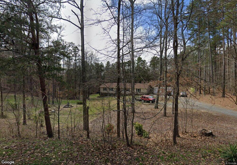
2131 Moonstone Dr Concord, NC 28025
Estimated Value: $407,000 - $601,603
3
Beds
2
Baths
1,557
Sq Ft
$327/Sq Ft
Est. Value
About This Home
This home is located at 2131 Moonstone Dr, Concord, NC 28025 and is currently estimated at $509,901, approximately $327 per square foot. 2131 Moonstone Dr is a home located in Cabarrus County with nearby schools including W.M. Irvin Elementary School, Concord Middle School, and Concord High School.
Ownership History
Date
Name
Owned For
Owner Type
Purchase Details
Closed on
Nov 20, 2008
Sold by
Breckenridge Robert H and Breckenridge Holly M
Bought by
Parrella Thomas M and Parrella Cathy Y
Current Estimated Value
Home Financials for this Owner
Home Financials are based on the most recent Mortgage that was taken out on this home.
Original Mortgage
$179,525
Outstanding Balance
$116,732
Interest Rate
5.89%
Mortgage Type
FHA
Estimated Equity
$393,169
Purchase Details
Closed on
Oct 28, 1998
Sold by
Willix George H and Willix Nancy J
Bought by
Breckenridge Robert H and Breckenridge Holly M
Home Financials for this Owner
Home Financials are based on the most recent Mortgage that was taken out on this home.
Original Mortgage
$125,400
Interest Rate
6.61%
Mortgage Type
Purchase Money Mortgage
Purchase Details
Closed on
Aug 1, 1991
Purchase Details
Closed on
Mar 1, 1991
Purchase Details
Closed on
Mar 1, 1980
Create a Home Valuation Report for This Property
The Home Valuation Report is an in-depth analysis detailing your home's value as well as a comparison with similar homes in the area
Home Values in the Area
Average Home Value in this Area
Purchase History
| Date | Buyer | Sale Price | Title Company |
|---|---|---|---|
| Parrella Thomas M | $180,500 | None Available | |
| Breckenridge Robert H | $135,000 | -- | |
| -- | $97,000 | -- | |
| -- | $11,500 | -- | |
| -- | $1,500 | -- |
Source: Public Records
Mortgage History
| Date | Status | Borrower | Loan Amount |
|---|---|---|---|
| Open | Parrella Thomas M | $179,525 | |
| Previous Owner | Breckenridge Robert H | $125,400 |
Source: Public Records
Tax History
| Year | Tax Paid | Tax Assessment Tax Assessment Total Assessment is a certain percentage of the fair market value that is determined by local assessors to be the total taxable value of land and additions on the property. | Land | Improvement |
|---|---|---|---|---|
| 2025 | $3,008 | $503,490 | $62,810 | $440,680 |
| 2024 | $3,303 | $503,490 | $62,810 | $440,680 |
| 2023 | $2,861 | $348,860 | $39,670 | $309,190 |
| 2022 | $2,861 | $348,860 | $39,670 | $309,190 |
| 2021 | $2,861 | $348,860 | $39,670 | $309,190 |
| 2020 | $2,791 | $348,860 | $39,670 | $309,190 |
| 2019 | $2,159 | $269,820 | $38,020 | $231,800 |
| 2018 | $2,105 | $269,820 | $38,020 | $231,800 |
| 2017 | $2,051 | $269,820 | $38,020 | $231,800 |
| 2016 | $1,859 | $187,040 | $40,000 | $147,040 |
| 2015 | -- | $187,040 | $40,000 | $147,040 |
| 2014 | -- | $187,040 | $40,000 | $147,040 |
Source: Public Records
Map
Nearby Homes
- 2401 Penninger Rd
- 1104 Amigo Dr
- 1175 Old Salisbury Concord Rd
- 1051 Michael Ave
- 1035 Brafford Dr
- 250 Colton Place
- 244 Colton Place
- 446 Voyager Ln
- 25 Blenheim Ct NE
- 630 Burrage Rd NE
- 605 Burrage Rd NE
- 4460 Mullis Rd
- 478 Mccoppin Ct NE
- 410 Cameron Ave NE
- Lot 1 Patience Dr
- 581 Goldmoor Dr NE
- 586 Wilhelm Place NE
- 580 Wilhelm Place NE
- 396 Cameron Ave NE
- 105 Partridge Bluff Dr NE
- 2141 Moonstone Dr
- 2055 Dairy Farm Rd
- 2000 Dairy Farm Rd
- 2120 Moonstone Dr
- 2140 Moonstone Dr
- 2151 Moonstone Dr
- 2251 Brickstone Cir
- 1600 Suther Rd
- 2010 Dairy Farm Rd
- 2091 Dairy Farm Rd
- 2201 Moonstone Dr
- 1622 Suther Rd
- 2050 Dairy Farm Rd
- 2121 Dairy Farm Rd
- 2312 Brickstone Cir
- 2312 Brickstone Cir Unit 44
- 2070 Dairy Farm Rd
- 1625 Suther Rd
- 1542 Suther Rd
- 2321 Brickstone Cir
Your Personal Tour Guide
Ask me questions while you tour the home.