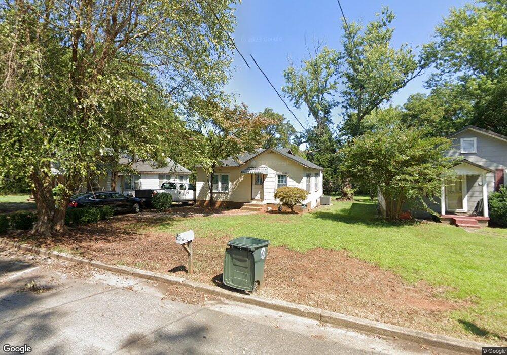
2131 N Thomas Ave Newton, NC 28658
Estimated Value: $80,000 - $158,000
1
Bed
1
Bath
824
Sq Ft
$153/Sq Ft
Est. Value
About This Home
This home is located at 2131 N Thomas Ave, Newton, NC 28658 and is currently estimated at $126,428, approximately $153 per square foot. 2131 N Thomas Ave is a home located in Catawba County with nearby schools including North Newton Elementary School, Newton-Conover Middle School, and Newton-Conover High School.
Ownership History
Date
Name
Owned For
Owner Type
Purchase Details
Closed on
Oct 30, 2020
Sold by
Elite Homes And Land Inc
Bought by
Deluna Gloria Telis
Current Estimated Value
Purchase Details
Closed on
May 17, 2019
Sold by
Little Mark T
Bought by
Elite Homes And Land Inc
Purchase Details
Closed on
May 1, 1988
Bought by
Little Mark Timothy
Create a Home Valuation Report for This Property
The Home Valuation Report is an in-depth analysis detailing your home's value as well as a comparison with similar homes in the area
Home Values in the Area
Average Home Value in this Area
Purchase History
| Date | Buyer | Sale Price | Title Company |
|---|---|---|---|
| Deluna Gloria Telis | $55,000 | None Available | |
| Elite Homes And Land Inc | $8,625 | None Available | |
| Little Mark Timothy | $16,000 | -- |
Source: Public Records
Tax History
| Year | Tax Paid | Tax Assessment Tax Assessment Total Assessment is a certain percentage of the fair market value that is determined by local assessors to be the total taxable value of land and additions on the property. | Land | Improvement |
|---|---|---|---|---|
| 2025 | $705 | $83,100 | $5,100 | $78,000 |
| 2024 | $705 | $83,100 | $5,100 | $78,000 |
| 2023 | $705 | $83,100 | $5,100 | $78,000 |
| 2022 | $533 | $47,800 | $5,100 | $42,700 |
| 2021 | $533 | $47,800 | $5,100 | $42,700 |
| 2020 | $533 | $47,800 | $5,100 | $42,700 |
| 2019 | $629 | $56,400 | $0 | $0 |
| 2018 | $449 | $40,300 | $5,100 | $35,200 |
| 2017 | $449 | $0 | $0 | $0 |
| 2016 | $449 | $0 | $0 | $0 |
| 2015 | $412 | $40,300 | $5,100 | $35,200 |
| 2014 | $412 | $40,800 | $4,800 | $36,000 |
Source: Public Records
Map
Nearby Homes
- 2081 N Whisnant Ave
- 1818 N Rankin Ave
- 1820 N Hewitt Ave
- 227 W 27th St
- 210 W 15th St
- 805 Mount Olive Church Rd
- 1128 McRee Heights Cir
- 1208 N Davis Ave
- 1107 N Davis Ave
- 736 E 11th St
- 1519 N Frye Ave
- 1512 N Deal Ave
- 0000 Burris Rd
- 827 E 9th St
- 880 W 25th St
- 890 W 25th St
- 885 W 25th St
- 1005 2nd St SE
- 503 W 12th St
- 902 N Ashe Ave
- 2127 N Thomas Ave
- 2135 N Thomas Ave
- 2119 N Thomas Ave
- 2126 N Whisnant Ave
- 2130 N Whisnant Ave
- 2112 N Whisnant Ave
- 2113 N Thomas Ave
- 418 E 21st St
- 2112 N Thomas Ave
- 2116 N Thomas Ave
- 2116 N Whisnant Ave
- 412 E 21st St
- 2103 N Thomas Ave
- 423 E 21st St
- 2110 N Whisnant Ave
- 419 E 21st St
- 419 E 21st St
- 2129 N Whisnant Ave
- 2121 N Whisnant Ave
- 406 E 21st St
Your Personal Tour Guide
Ask me questions while you tour the home.