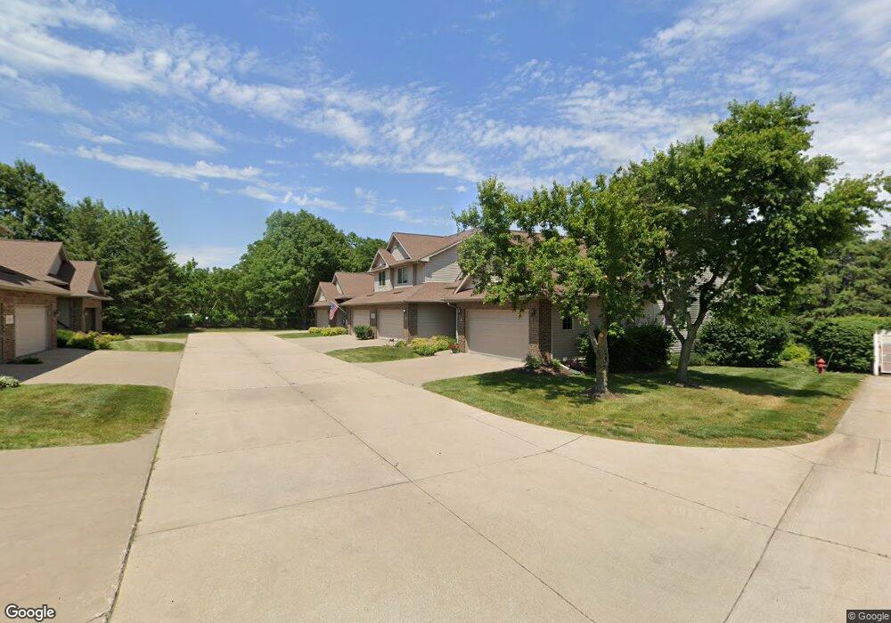
2131 Norcor Ave Unit 2 Coralville, IA 52241
Estimated Value: $244,000 - $267,000
2
Beds
2
Baths
1,252
Sq Ft
$201/Sq Ft
Est. Value
About This Home
This home is located at 2131 Norcor Ave Unit 2, Coralville, IA 52241 and is currently estimated at $251,647, approximately $200 per square foot. 2131 Norcor Ave Unit 2 is a home located in Johnson County with nearby schools including Wickham Elementary School, North Central Junior High School, and West High School.
Ownership History
Date
Name
Owned For
Owner Type
Purchase Details
Closed on
Jun 14, 2019
Sold by
Gopalakrishna Kota and Parampalli Bhuvana H
Bought by
Kadavy Kathleen R
Current Estimated Value
Home Financials for this Owner
Home Financials are based on the most recent Mortgage that was taken out on this home.
Original Mortgage
$173,700
Outstanding Balance
$152,415
Interest Rate
4%
Mortgage Type
New Conventional
Estimated Equity
$99,232
Purchase Details
Closed on
May 12, 2009
Sold by
Hess B Gene and Mehta Sonya
Bought by
Gopalakrishna Kota and Parampalli Bhuvana H
Home Financials for this Owner
Home Financials are based on the most recent Mortgage that was taken out on this home.
Original Mortgage
$148,500
Interest Rate
5.25%
Mortgage Type
Purchase Money Mortgage
Create a Home Valuation Report for This Property
The Home Valuation Report is an in-depth analysis detailing your home's value as well as a comparison with similar homes in the area
Home Values in the Area
Average Home Value in this Area
Purchase History
| Date | Buyer | Sale Price | Title Company |
|---|---|---|---|
| Kadavy Kathleen R | $193,000 | None Available | |
| Gopalakrishna Kota | $148,500 | None Available |
Source: Public Records
Mortgage History
| Date | Status | Borrower | Loan Amount |
|---|---|---|---|
| Open | Kadavy Kathleen R | $173,700 | |
| Closed | Kadavy Kathleen R | $19,300 | |
| Previous Owner | Gopalakrishna Kota | $148,500 |
Source: Public Records
Tax History Compared to Growth
Tax History
| Year | Tax Paid | Tax Assessment Tax Assessment Total Assessment is a certain percentage of the fair market value that is determined by local assessors to be the total taxable value of land and additions on the property. | Land | Improvement |
|---|---|---|---|---|
| 2024 | $3,972 | $227,500 | $40,000 | $187,500 |
| 2023 | $4,072 | $227,500 | $40,000 | $187,500 |
| 2022 | $3,886 | $194,200 | $20,000 | $174,200 |
| 2021 | $3,860 | $194,200 | $20,000 | $174,200 |
| 2020 | $3,860 | $185,100 | $20,000 | $165,100 |
| 2019 | $3,466 | $185,100 | $20,000 | $165,100 |
| 2018 | $3,394 | $175,900 | $20,000 | $155,900 |
| 2017 | $3,394 | $175,900 | $20,000 | $155,900 |
| 2016 | $3,230 | $171,200 | $20,000 | $151,200 |
| 2015 | $3,230 | $171,200 | $20,000 | $151,200 |
| 2014 | $2,988 | $158,500 | $20,000 | $138,500 |
Source: Public Records
Map
Nearby Homes
- 2325 Mulberry St Unit 4
- 0 Oakdale Blvd
- 1813 12th Ave Unit B
- 1819 Timber Hills Dr
- 1912 N Ridge Dr
- 2000 Forest Hill Cir
- 960 Mesquite Dr
- 740 Highland Park Ave
- 1721 12th Ave
- 1705 12th Ave
- 3250 Downer Dr
- 941 Timber Ridge Ct
- 0 12th Ave
- 2136 Oakdale Ridge
- 951 Highland Park Ave
- 700 Rosebud Ct
- 700 Mesquite Dr
- 1730 Lynncrest Dr
- 1963 Brown Deer Trail
- 2050 S Ridge Dr
- 2131 Norcor Ave Unit 4
- 2131 Norcor Ave Unit 3
- 2131 Norcor Ave Unit 1
- 2119 Norcor Ave Unit 6
- 2119 Norcor Ave Unit 5
- 2119 Norcor Ave Unit 4
- 2119 Norcor Ave Unit 3
- 2119 Norcor Ave Unit 2
- 2119 Norcor Ave Unit 1
- 2113 Norcor Ave Unit 4
- 2113 Norcor Ave Unit 3
- 2113 Norcor Ave Unit 2
- 2113 Norcor Ave Unit 1
- 2107 Norcor Ave Unit 6
- 2107 Norcor Ave Unit 5
- 2107 Norcor Ave Unit 4
- 2107 Norcor Ave Unit 3
- 2107 Norcor Ave Unit 2
- 2107 Norcor Ave Unit 1
- 2101 Norcor Ave Unit 6