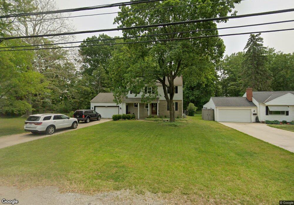
21311 Mastick Rd Cleveland, OH 44126
Estimated Value: $281,000 - $343,000
4
Beds
2
Baths
1,664
Sq Ft
$188/Sq Ft
Est. Value
About This Home
This home is located at 21311 Mastick Rd, Cleveland, OH 44126 and is currently estimated at $312,941, approximately $188 per square foot. 21311 Mastick Rd is a home located in Cuyahoga County with nearby schools including Gilles-Sweet Elementary School, Lewis F Mayer Middle School, and Fairview High School.
Ownership History
Date
Name
Owned For
Owner Type
Purchase Details
Closed on
Dec 17, 2004
Sold by
Roffey Margaret A
Bought by
Williamson James K and Potter Williamson Heather L
Current Estimated Value
Home Financials for this Owner
Home Financials are based on the most recent Mortgage that was taken out on this home.
Original Mortgage
$164,900
Outstanding Balance
$82,802
Interest Rate
5.77%
Mortgage Type
Purchase Money Mortgage
Estimated Equity
$230,139
Purchase Details
Closed on
Jul 25, 1991
Sold by
Roffey Margaret A
Bought by
Roffey, Margaret A. Trustee
Purchase Details
Closed on
Jan 1, 1975
Bought by
Roffey Margaret A
Create a Home Valuation Report for This Property
The Home Valuation Report is an in-depth analysis detailing your home's value as well as a comparison with similar homes in the area
Home Values in the Area
Average Home Value in this Area
Purchase History
| Date | Buyer | Sale Price | Title Company |
|---|---|---|---|
| Williamson James K | $170,000 | Midland Title Agency | |
| Roffey, Margaret A. Trustee | -- | -- | |
| Roffey Margaret A | -- | -- |
Source: Public Records
Mortgage History
| Date | Status | Borrower | Loan Amount |
|---|---|---|---|
| Open | Williamson James K | $164,900 |
Source: Public Records
Tax History Compared to Growth
Tax History
| Year | Tax Paid | Tax Assessment Tax Assessment Total Assessment is a certain percentage of the fair market value that is determined by local assessors to be the total taxable value of land and additions on the property. | Land | Improvement |
|---|---|---|---|---|
| 2024 | $6,336 | $92,330 | $14,035 | $78,295 |
| 2023 | $5,110 | $63,420 | $9,940 | $53,480 |
| 2022 | $4,984 | $63,420 | $9,940 | $53,480 |
| 2021 | $5,088 | $63,420 | $9,940 | $53,480 |
| 2020 | $4,680 | $51,140 | $8,020 | $43,120 |
| 2019 | $4,162 | $146,100 | $22,900 | $123,200 |
| 2018 | $4,008 | $51,140 | $8,020 | $43,120 |
| 2017 | $4,036 | $45,820 | $8,090 | $37,730 |
| 2016 | $4,009 | $45,820 | $8,090 | $37,730 |
| 2015 | $3,857 | $45,820 | $8,090 | $37,730 |
| 2014 | $3,857 | $44,490 | $7,840 | $36,650 |
Source: Public Records
Map
Nearby Homes
- 20930 Mastick Rd
- 5951 Rockport Ln
- 22247 Mastick Rd
- 22534 Bard Ave
- 4710 Grayton Rd
- 22506 Sharon Ln
- 22503 Sandy Ln
- 4720 Grayton Rd
- 22045 Morton Ave
- 21437 Hillsdale Ave
- 21763 Hillsdale Ave
- 4627 W 223rd St
- 4464 W 224th St
- 22934 Mastick Rd Unit 102
- 19631 Thornridge Ave
- 4309 W 222nd St
- 4401 Fairview Park
- 4514 Orchard Rd
- 22895 Mastick Rd
- 4291 W 215th St
- 21345 Mastick Rd
- 21281 Mastick Rd
- 21375 Mastick Rd
- 21387 Mastick Rd
- 21245 Mastick Rd
- 21266 Mastick Rd
- 21300 Mastick Rd
- 21399 Mastick Rd
- 21238 Mastick Rd
- 21215 Mastick Rd
- 21350 Mastick Rd
- 21325 Queen Anns Way
- 21415 Mastick Rd
- 21465 Kings Hwy
- 21335 Queen Anns Way
- 21200 Mastick Rd
- 21435 Riviera Dr
- 21300 Queen Anns Way
- 21429 Mastick Rd
- 21380 Mastick Rd