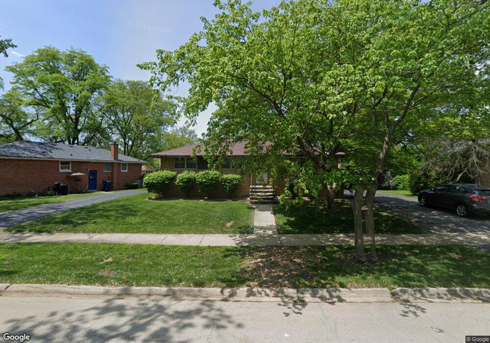
21318 Tower Ave Matteson, IL 60443
Old Matteson NeighborhoodEstimated Value: $177,000 - $209,000
3
Beds
2
Baths
1,037
Sq Ft
$186/Sq Ft
Est. Value
About This Home
This home is located at 21318 Tower Ave, Matteson, IL 60443 and is currently estimated at $193,048, approximately $186 per square foot. 21318 Tower Ave is a home located in Cook County with nearby schools including Illinois School, Matteson Elementary School, and Sauk Elementary School.
Ownership History
Date
Name
Owned For
Owner Type
Purchase Details
Closed on
Oct 29, 2003
Sold by
Felix Jeanne R
Bought by
Lyons Tyrone
Current Estimated Value
Home Financials for this Owner
Home Financials are based on the most recent Mortgage that was taken out on this home.
Original Mortgage
$117,943
Outstanding Balance
$53,081
Interest Rate
6.04%
Mortgage Type
FHA
Estimated Equity
$139,967
Create a Home Valuation Report for This Property
The Home Valuation Report is an in-depth analysis detailing your home's value as well as a comparison with similar homes in the area
Home Values in the Area
Average Home Value in this Area
Purchase History
| Date | Buyer | Sale Price | Title Company |
|---|---|---|---|
| Lyons Tyrone | -- | First American Title |
Source: Public Records
Mortgage History
| Date | Status | Borrower | Loan Amount |
|---|---|---|---|
| Open | Lyons Tyrone | $117,943 |
Source: Public Records
Tax History
| Year | Tax Paid | Tax Assessment Tax Assessment Total Assessment is a certain percentage of the fair market value that is determined by local assessors to be the total taxable value of land and additions on the property. | Land | Improvement |
|---|---|---|---|---|
| 2025 | $6,069 | $18,000 | $3,067 | $14,933 |
| 2024 | $6,069 | $18,000 | $3,067 | $14,933 |
| 2023 | $2,676 | $18,000 | $3,067 | $14,933 |
| 2022 | $2,676 | $8,353 | $2,684 | $5,669 |
| 2021 | $2,762 | $8,352 | $2,683 | $5,669 |
| 2020 | $2,674 | $8,352 | $2,683 | $5,669 |
| 2019 | $3,084 | $9,388 | $2,491 | $6,897 |
| 2018 | $3,080 | $9,388 | $2,491 | $6,897 |
| 2017 | $2,987 | $9,388 | $2,491 | $6,897 |
| 2016 | $3,687 | $9,995 | $2,300 | $7,695 |
| 2015 | $3,593 | $9,995 | $2,300 | $7,695 |
| 2014 | $3,507 | $9,995 | $2,300 | $7,695 |
| 2013 | $3,060 | $9,718 | $2,300 | $7,418 |
Source: Public Records
Map
Nearby Homes
- 3919 214th St
- 21406 S Jean Ave
- 3844 214th Place
- 3727 214th Place Unit 2
- 3809 215th St
- 3704 215th St Unit 105
- 3704 215th St Unit 205
- 21142 Locust St
- 4052 Charleston Rd
- 21616 Richmond Rd
- 3421 Station Dr
- 540 Homan Ave
- 831 Violet Ln
- 313 Jackson St
- 4110 Applewood Ln
- 21617 Dogwood Rd Unit 1125
- 21635 Dogwood Rd Unit 1165
- 126 Indiana St
- 120 Indiana St
- 4228 Applewood Ln
- 3810 213th Place
- 21312 Tower Ave
- 3818 213th Place
- 3822 213th Pl
- 21308 Tower Ave
- 21315 Tower Ave
- 21319 Tower Ave
- 21309 Tower Ave
- 3815 213th St
- 3802 213th Place
- 3826 213th Place
- 3809 213th St
- 3809 213th Place
- 21305 Tower Ave
- 3819 213th Place
- 3815 213th Place
- 3823 213th Place
- 3819 213th St
- 3760 213th Place
- 3827 213th Place
Your Personal Tour Guide
Ask me questions while you tour the home.