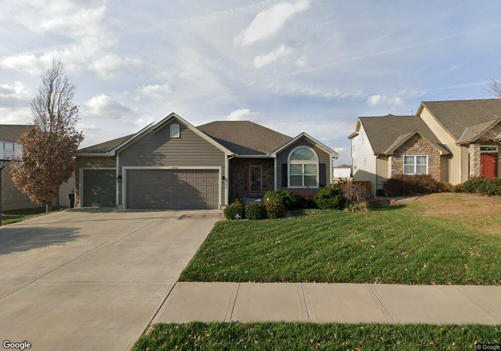
2132 Birch St Leavenworth, KS 66048
Estimated Value: $428,432 - $433,000
5
Beds
3
Baths
1,770
Sq Ft
$244/Sq Ft
Est. Value
About This Home
This home is located at 2132 Birch St, Leavenworth, KS 66048 and is currently estimated at $431,108, approximately $243 per square foot. 2132 Birch St is a home with nearby schools including Lansing Elementary School, Lansing Middle 6-8, and Lansing High 9-12.
Ownership History
Date
Name
Owned For
Owner Type
Purchase Details
Closed on
Apr 21, 2025
Sold by
Dedeke Matthew D and Dedeke Jean M
Bought by
Mj Dedeke Family Living Trust and Dedeke
Current Estimated Value
Purchase Details
Closed on
Apr 18, 2012
Sold by
Larkin Homes Inc
Bought by
Dedeke Matthew D and Dedeke Jean M
Home Financials for this Owner
Home Financials are based on the most recent Mortgage that was taken out on this home.
Original Mortgage
$233,750
Interest Rate
3.92%
Mortgage Type
New Conventional
Create a Home Valuation Report for This Property
The Home Valuation Report is an in-depth analysis detailing your home's value as well as a comparison with similar homes in the area
Home Values in the Area
Average Home Value in this Area
Purchase History
| Date | Buyer | Sale Price | Title Company |
|---|---|---|---|
| Mj Dedeke Family Living Trust | -- | None Listed On Document | |
| Dedeke Matthew D | $292,187 | Kansas Secured Title |
Source: Public Records
Mortgage History
| Date | Status | Borrower | Loan Amount |
|---|---|---|---|
| Previous Owner | Dedeke Matthew D | $233,750 |
Source: Public Records
Tax History Compared to Growth
Tax History
| Year | Tax Paid | Tax Assessment Tax Assessment Total Assessment is a certain percentage of the fair market value that is determined by local assessors to be the total taxable value of land and additions on the property. | Land | Improvement |
|---|---|---|---|---|
| 2025 | $5,830 | $50,033 | $6,247 | $43,786 |
| 2024 | $5,540 | $47,650 | $6,247 | $41,403 |
| 2023 | $5,540 | $47,179 | $5,299 | $41,880 |
| 2022 | $5,112 | $40,980 | $5,270 | $35,710 |
| 2021 | $4,573 | $35,796 | $5,270 | $30,526 |
| 2020 | $4,486 | $34,419 | $5,270 | $29,149 |
| 2019 | $4,340 | $33,246 | $5,270 | $27,976 |
| 2018 | $4,337 | $33,246 | $5,270 | $27,976 |
| 2017 | $4,103 | $32,119 | $5,270 | $26,849 |
| 2016 | $4,112 | $32,119 | $5,270 | $26,849 |
| 2015 | -- | $32,775 | $5,270 | $27,505 |
| 2014 | -- | $32,775 | $5,270 | $27,505 |
Source: Public Records
Map
Nearby Homes
- 0000 Eisenhower Rd
- 4236 Clayton Ct
- 16055 W Eisenhower Rd
- 2151 Shenandoah Dr
- 2150 Shenandoah Dr
- 15915 Eisenhower Rd
- 3703 Clayton Dr
- 000 Eisenhower Rd
- 17096 Eisenhower Rd
- 00000 Michals Rd
- 4421 Grand Ct
- 2100 Limit St
- 1525 Gatewood St
- 2105 Vilas St
- 1023 Ironwood Ct
- 2248 Vilas St
- 1012 Tamarisk Dr
- 2516 Kensington Place
- 1601 Holman St
- 1621 Vilas St