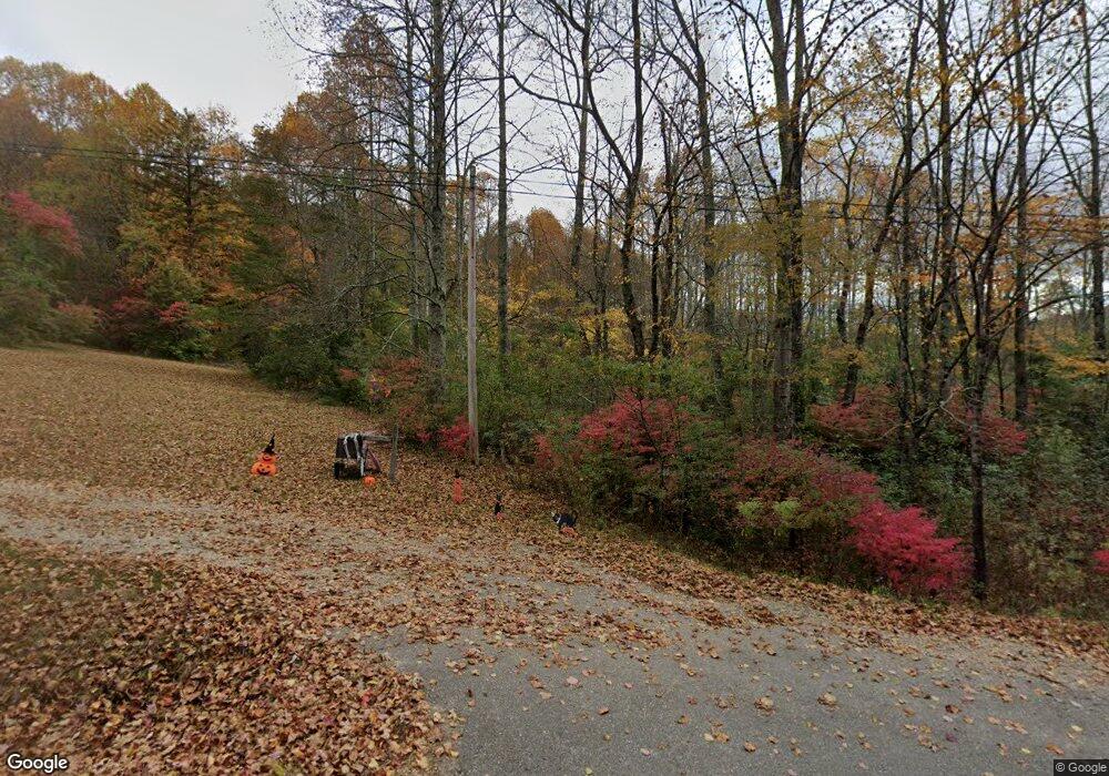
2132 State Highway 60 Suches, GA 30572
Suches NeighborhoodEstimated Value: $381,000 - $423,000
3
Beds
2
Baths
1,488
Sq Ft
$272/Sq Ft
Est. Value
About This Home
This home is located at 2132 State Highway 60, Suches, GA 30572 and is currently estimated at $404,494, approximately $271 per square foot. 2132 State Highway 60 is a home with nearby schools including Union County Primary School, Union County Elementary School, and Union County Middle School.
Ownership History
Date
Name
Owned For
Owner Type
Purchase Details
Closed on
Mar 4, 2022
Sold by
Stover Jerald F
Bought by
Cubinski Lee A
Current Estimated Value
Home Financials for this Owner
Home Financials are based on the most recent Mortgage that was taken out on this home.
Original Mortgage
$358,881
Outstanding Balance
$334,430
Interest Rate
3.69%
Mortgage Type
New Conventional
Estimated Equity
$70,064
Purchase Details
Closed on
Nov 27, 2019
Sold by
Stover Jerald F
Bought by
Stover James A
Purchase Details
Closed on
Nov 13, 2009
Sold by
Stover Darryl A
Bought by
Stover Jerald F
Purchase Details
Closed on
May 4, 2004
Sold by
Stover Darryl G
Bought by
Stover Darryl A and Stover Jerald F
Purchase Details
Closed on
Aug 8, 2003
Sold by
Stover James A and Stover Jeral
Bought by
Stover Darryl G
Purchase Details
Closed on
Apr 25, 1995
Bought by
Stover James A and Stover Jeral
Create a Home Valuation Report for This Property
The Home Valuation Report is an in-depth analysis detailing your home's value as well as a comparison with similar homes in the area
Home Values in the Area
Average Home Value in this Area
Purchase History
| Date | Buyer | Sale Price | Title Company |
|---|---|---|---|
| Cubinski Lee A | $205,000 | -- | |
| Stover James A | -- | -- | |
| Stover Jerald F | -- | -- | |
| Stover Darryl A | -- | -- | |
| Stover Darryl G | -- | -- | |
| Stover James A | $75,000 | -- |
Source: Public Records
Mortgage History
| Date | Status | Borrower | Loan Amount |
|---|---|---|---|
| Open | Cubinski Lee A | $358,881 |
Source: Public Records
Tax History Compared to Growth
Tax History
| Year | Tax Paid | Tax Assessment Tax Assessment Total Assessment is a certain percentage of the fair market value that is determined by local assessors to be the total taxable value of land and additions on the property. | Land | Improvement |
|---|---|---|---|---|
| 2024 | $1,891 | $162,120 | $27,800 | $134,320 |
| 2023 | $2,078 | $158,080 | $27,800 | $130,280 |
| 2022 | $921 | $69,200 | $14,320 | $54,880 |
| 2021 | $913 | $57,960 | $14,320 | $43,640 |
| 2020 | $799 | $44,215 | $21,287 | $22,928 |
| 2019 | $724 | $42,462 | $19,534 | $22,928 |
| 2018 | $746 | $42,462 | $19,534 | $22,928 |
| 2017 | $711 | $42,462 | $19,534 | $22,928 |
| 2016 | $711 | $42,462 | $19,534 | $22,928 |
| 2015 | $673 | $39,962 | $19,534 | $20,428 |
| 2013 | -- | $39,962 | $19,534 | $20,427 |
Source: Public Records
Map
Nearby Homes
- 212 Shelton Rd
- 142 Abercrombie Rd
- 65 Caldwell Mountain Rd
- 1013 Georgia 60
- Lt 1,2,3 Abercrombie Estate
- Lt 4,5,6 Abercrombie Estate
- 540 Old Mill Rd
- LT 62 Gobblers Knob Laurel
- 383 Canada Creek Rd W
- 450 Happy Hollow Cir
- 329 Northside Mountain Rd
- 9 Blackbear Mountain Trail
- 324 Adair Dr
- 530 Heavens Gate Way
- n/a Double Creek Dr
- 24 Doe Run
- 1955 Cavender Gap Rd
- LT 61 Laurel Woods
- Lot 55 Laurel Woods
- 152 Cavender Trace
- 137 Wolf Pen Gap Rd
- 159 Wolf Pen Gap Rd
- 201 Wolf Pen Gap Rd
- 2077 State Highway 60
- 172 Ed Fortenberry Cir
- 132 Ed Fortenberry Cir
- LOT 4 Thornberry Ridge
- LOT 6 Woodpecker
- 656 National Forest Rd
- 50 Woody Enos Dr
- 32 Wolf Pen Gap Rd
- 12905 Wolf Pen Gap Rd
- 2375 State Highway 60
- 24 Ed Fortenberry Cir
- 321 Hello Rd
- 90 Two Sisters Way
- 70 Wolf Pen Gap Rd
- 551 Shelton Rd
- 382 Wolf Pen Gap Rd
- 0 Brawley Ln Unit 7033389
