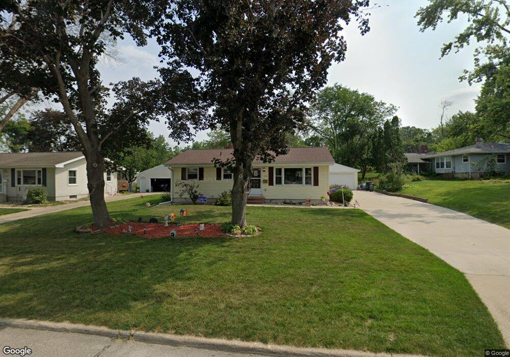
2133 Brookland Dr NE Cedar Rapids, IA 52402
Estimated Value: $187,000 - $250,000
4
Beds
2
Baths
1,120
Sq Ft
$189/Sq Ft
Est. Value
About This Home
This home is located at 2133 Brookland Dr NE, Cedar Rapids, IA 52402 and is currently estimated at $212,090, approximately $189 per square foot. 2133 Brookland Dr NE is a home located in Linn County with nearby schools including Pierce Elementary School, Franklin Middle School, and John F. Kennedy High School.
Ownership History
Date
Name
Owned For
Owner Type
Purchase Details
Closed on
Nov 28, 2000
Sold by
Haessig Brian J and Haessig Tara K
Bought by
Callanan Gregory W and Callanan Theresa A
Current Estimated Value
Home Financials for this Owner
Home Financials are based on the most recent Mortgage that was taken out on this home.
Original Mortgage
$88,626
Interest Rate
7.86%
Purchase Details
Closed on
Nov 18, 1998
Sold by
Sales Daniel L and Sales Dorine B
Bought by
Haessig Brian J and Haessig Tara K
Home Financials for this Owner
Home Financials are based on the most recent Mortgage that was taken out on this home.
Original Mortgage
$75,000
Interest Rate
6.59%
Create a Home Valuation Report for This Property
The Home Valuation Report is an in-depth analysis detailing your home's value as well as a comparison with similar homes in the area
Home Values in the Area
Average Home Value in this Area
Purchase History
| Date | Buyer | Sale Price | Title Company |
|---|---|---|---|
| Callanan Gregory W | $111,500 | -- | |
| Haessig Brian J | $94,000 | -- |
Source: Public Records
Mortgage History
| Date | Status | Borrower | Loan Amount |
|---|---|---|---|
| Closed | Callanan Gregory W | $88,626 | |
| Previous Owner | Haessig Brian J | $75,000 |
Source: Public Records
Tax History Compared to Growth
Tax History
| Year | Tax Paid | Tax Assessment Tax Assessment Total Assessment is a certain percentage of the fair market value that is determined by local assessors to be the total taxable value of land and additions on the property. | Land | Improvement |
|---|---|---|---|---|
| 2025 | $3,024 | $199,800 | $43,800 | $156,000 |
| 2024 | $3,074 | $181,400 | $40,300 | $141,100 |
| 2023 | $3,074 | $181,400 | $40,300 | $141,100 |
| 2022 | $2,932 | $154,600 | $35,000 | $119,600 |
| 2021 | $2,992 | $150,500 | $33,300 | $117,200 |
| 2020 | $2,992 | $144,200 | $29,800 | $114,400 |
| 2019 | $2,768 | $136,900 | $28,000 | $108,900 |
| 2018 | $2,686 | $136,900 | $28,000 | $108,900 |
| 2017 | $2,711 | $130,600 | $28,000 | $102,600 |
| 2016 | $2,711 | $127,600 | $28,000 | $99,600 |
| 2015 | $2,755 | $129,467 | $31,541 | $97,926 |
| 2014 | $2,570 | $129,467 | $31,541 | $97,926 |
| 2013 | $2,510 | $129,467 | $31,541 | $97,926 |
Source: Public Records
Map
Nearby Homes
- 3858 Northwood Dr NE
- 2044 Evergreen St NE
- 2041 Birchwood Dr NE
- 2106 42nd St NE
- 2400 Brookland Dr NE
- 4216 Marilyn Dr NE
- 2445 Glass Rd NE
- 1721 34th St NE
- 1611 Hollywood Blvd NE
- 2520 Falbrook Dr NE
- 2611 Brookland Dr NE
- 3008 Circle Hill Ct NE
- 2962 Circle Dr NE
- 4309 Benton St NE
- 3604 Heatheridge Dr NE
- 1006 Messina Dr NE
- 1138 Messina Dr NE
- 4609 White Pine Dr NE
- 1638 47th St NE
- 3050 Center Point Rd NE
- 2125 Brookland Dr NE
- 3814 Lynbrook Dr NE
- 3800 Lynbrook Dr NE
- 2132 Larry Dr NE
- 2140 Larry Dr NE
- 2124 Larry Dr NE
- 2117 Brookland Dr NE
- 2148 Larry Dr NE
- 2116 Larry Dr NE
- 2130 Brookland Dr NE
- 2140 Brookland Dr NE
- 2122 Brookland Dr NE
- 2112 Brookland Dr NE
- 2108 Larry Dr NE
- 2109 Brookland Dr NE
- 2161 Brookland Dr NE
- 2160 Larry Dr NE
- 3801 Lynbrook Dr NE
- 2156 Brookland Dr NE
- 2108 Brookland Dr NE