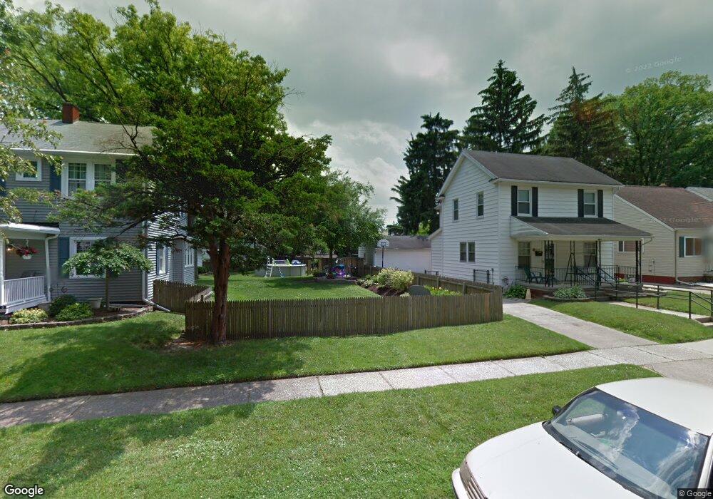
2133 Mansfield Rd Toledo, OH 43613
DeVeaux NeighborhoodEstimated Value: $68,000 - $173,000
--
Bed
--
Bath
--
Sq Ft
6,621
Sq Ft Lot
About This Home
This home is located at 2133 Mansfield Rd, Toledo, OH 43613 and is currently estimated at $129,000. 2133 Mansfield Rd is a home located in Lucas County with nearby schools including McKinley Stemm Academy, Start High School, and Hope Learning Academy of Toledo.
Ownership History
Date
Name
Owned For
Owner Type
Purchase Details
Closed on
Aug 15, 2017
Sold by
Jones Derrick
Bought by
Lepiarz Jeffrey D and Lepiarz Kimberly S
Current Estimated Value
Purchase Details
Closed on
Feb 21, 1996
Sold by
Eddy John P
Bought by
Blair Robin D
Home Financials for this Owner
Home Financials are based on the most recent Mortgage that was taken out on this home.
Original Mortgage
$70,350
Interest Rate
7.16%
Mortgage Type
VA
Create a Home Valuation Report for This Property
The Home Valuation Report is an in-depth analysis detailing your home's value as well as a comparison with similar homes in the area
Home Values in the Area
Average Home Value in this Area
Purchase History
| Date | Buyer | Sale Price | Title Company |
|---|---|---|---|
| Lepiarz Jeffrey D | -- | None Available | |
| Blair Robin D | $69,000 | -- |
Source: Public Records
Mortgage History
| Date | Status | Borrower | Loan Amount |
|---|---|---|---|
| Previous Owner | Blair Robin D | $70,350 |
Source: Public Records
Tax History Compared to Growth
Tax History
| Year | Tax Paid | Tax Assessment Tax Assessment Total Assessment is a certain percentage of the fair market value that is determined by local assessors to be the total taxable value of land and additions on the property. | Land | Improvement |
|---|---|---|---|---|
| 2024 | $257 | $6,825 | $6,825 | -- |
| 2023 | $477 | $6,020 | $6,020 | $0 |
| 2022 | $477 | $6,020 | $6,020 | $0 |
| 2021 | $479 | $6,020 | $6,020 | $0 |
| 2020 | $477 | $5,040 | $5,040 | $0 |
| 2019 | $458 | $5,040 | $5,040 | $0 |
| 2018 | $469 | $5,040 | $5,040 | $0 |
| 2017 | $1,674 | $4,690 | $4,690 | $0 |
| 2016 | $1,303 | $13,400 | $13,400 | $0 |
| 2015 | $467 | $13,400 | $13,400 | $0 |
| 2014 | $455 | $4,690 | $4,690 | $0 |
| 2013 | $303 | $4,690 | $4,690 | $0 |
Source: Public Records
Map
Nearby Homes
- 2146 Marlow Rd
- 2106 Fairfax Rd
- 2056 Fairfax Rd
- 2040 Fairfax Rd
- 2045 Fairfax Rd
- 3718 Sherbrooke Rd
- 3621 Sherbrooke Rd
- 3715 Shelbourne Ave
- 1952 Fairfax Rd
- 3656 Bellevue Rd
- 1929 Marlow Rd
- 3560 Bellevue Rd
- 1935 Talbot St
- 2050 Berdan Ave
- 2220 Beaufort Ave
- 1939 Balkan Place
- 2012 Berdan Ave
- 2035 Barrows St
- 3306 Saint Bernard Dr
- 3540 Kershaw Ave
- 2137 Mansfield Rd
- 2129 Mansfield Rd
- 2141 Mansfield Rd
- 2125 Mansfield Rd
- 2145 Mansfield Rd
- 2121 Mansfield Rd
- 2136 Marlow Rd
- 2130 Marlow Rd
- 2140 Marlow Rd
- 2117 Mansfield Rd
- 2151 Mansfield Rd
- 2120 Marlow Rd
- 2134 Mansfield Rd
- 2113 Mansfield Rd
- 2153 Mansfield Rd
- 2130 Mansfield Rd
- 2138 Mansfield Rd
- 2118 Marlow Rd
- 2126 Mansfield Rd
- 2142 Mansfield Rd