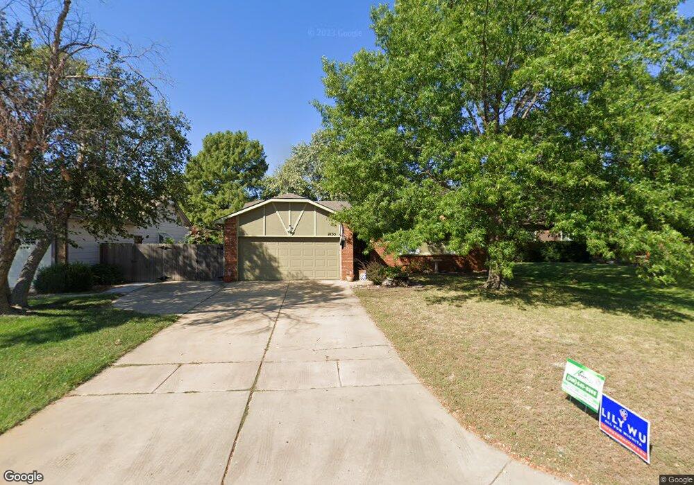
2133 N Westfield Cir Wichita, KS 67212
West Wichita NeighborhoodEstimated Value: $259,875 - $264,000
3
Beds
3
Baths
1,223
Sq Ft
$214/Sq Ft
Est. Value
About This Home
This home is located at 2133 N Westfield Cir, Wichita, KS 67212 and is currently estimated at $261,938, approximately $214 per square foot. 2133 N Westfield Cir is a home located in Sedgwick County with nearby schools including Vermillion Elementary School, Maize South Elementary School, and Pray-Woodman Elementary.
Ownership History
Date
Name
Owned For
Owner Type
Purchase Details
Closed on
Sep 12, 2014
Sold by
Beals Todd M and Beals Deborah J
Bought by
Macy Don Patrick and Macy Lisa C
Current Estimated Value
Home Financials for this Owner
Home Financials are based on the most recent Mortgage that was taken out on this home.
Original Mortgage
$134,900
Outstanding Balance
$103,313
Interest Rate
4.15%
Mortgage Type
New Conventional
Estimated Equity
$158,625
Create a Home Valuation Report for This Property
The Home Valuation Report is an in-depth analysis detailing your home's value as well as a comparison with similar homes in the area
Home Values in the Area
Average Home Value in this Area
Purchase History
| Date | Buyer | Sale Price | Title Company |
|---|---|---|---|
| Macy Don Patrick | -- | Security 1St Title |
Source: Public Records
Mortgage History
| Date | Status | Borrower | Loan Amount |
|---|---|---|---|
| Open | Macy Don Patrick | $134,900 |
Source: Public Records
Tax History Compared to Growth
Tax History
| Year | Tax Paid | Tax Assessment Tax Assessment Total Assessment is a certain percentage of the fair market value that is determined by local assessors to be the total taxable value of land and additions on the property. | Land | Improvement |
|---|---|---|---|---|
| 2025 | $3,060 | $27,819 | $5,589 | $22,230 |
| 2023 | $3,060 | $24,127 | $4,324 | $19,803 |
| 2022 | $2,652 | $21,919 | $4,071 | $17,848 |
| 2021 | $2,468 | $20,298 | $2,634 | $17,664 |
| 2020 | $2,468 | $20,298 | $2,634 | $17,664 |
| 2019 | $2,282 | $18,792 | $2,634 | $16,158 |
| 2018 | $2,168 | $17,895 | $2,197 | $15,698 |
| 2017 | $2,075 | $0 | $0 | $0 |
| 2016 | $2,074 | $0 | $0 | $0 |
| 2015 | $1,786 | $0 | $0 | $0 |
| 2014 | $1,818 | $0 | $0 | $0 |
Source: Public Records
Map
Nearby Homes
- 9029 W Westlawn St
- 9111 W 21st St N
- 9017 W Westlawn St
- 9005 W Westlawn St
- 9802 W Cornelison St
- 9706 W Bella Vista St
- 2212 N Chadsworth St
- 2406 N Watersedge Cir
- 8911 W Jamesburg St
- 9701 W Greenspoint St
- 2206 N Chadsworth St
- 2416 N Amarado St
- 9702 W Greenspoint St
- 9117 W Westport St
- 9706 W Greenspoint St
- 9409 W Sterling St
- 8803 W 18th Ct N
- 2425 N Baytree St
- 9422 W Sterling St
- 1842 N Cheryl Ct
- 2125 N Westfield Cir
- 2141 N Westfield Cir
- 2130 N Keith St
- 2149 N Westfield Cir
- 2119 N Westfield Cir
- 2138 N Keith St
- 2122 N Keith St
- 2134 N Westfield Cir
- 2148 N Westfield Cir
- 2146 N Keith St
- 2126 N Westfield Cir
- 2114 N Keith St
- 2140 N Westfield Cir
- 2111 N Westfield Cir
- 2118 N Westfield Cir
- 2102 N Keith St
- 2110 N Westfield Cir
- 2137 N Keith St
- 2129 N Keith St
- 2121 N Keith St