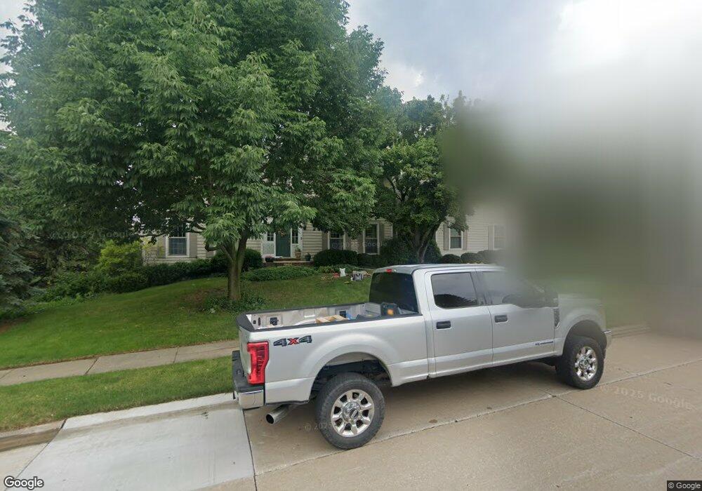
2133 Saint Andrews Cir Bettendorf, IA 52722
Estimated Value: $601,000 - $685,000
5
Beds
4
Baths
3,224
Sq Ft
$198/Sq Ft
Est. Value
About This Home
This home is located at 2133 Saint Andrews Cir, Bettendorf, IA 52722 and is currently estimated at $637,387, approximately $197 per square foot. 2133 Saint Andrews Cir is a home located in Scott County with nearby schools including Grant Wood Elementary School, Bettendorf Middle School, and Bettendorf High School.
Ownership History
Date
Name
Owned For
Owner Type
Purchase Details
Closed on
Aug 7, 2014
Sold by
Heiderscheit John W and Heiderscheit Robin H
Bought by
Wareham Robert C and Wareham Valerie R
Current Estimated Value
Home Financials for this Owner
Home Financials are based on the most recent Mortgage that was taken out on this home.
Original Mortgage
$352,000
Outstanding Balance
$267,918
Interest Rate
4.14%
Mortgage Type
New Conventional
Estimated Equity
$369,469
Create a Home Valuation Report for This Property
The Home Valuation Report is an in-depth analysis detailing your home's value as well as a comparison with similar homes in the area
Home Values in the Area
Average Home Value in this Area
Purchase History
| Date | Buyer | Sale Price | Title Company |
|---|---|---|---|
| Wareham Robert C | $440,000 | None Available |
Source: Public Records
Mortgage History
| Date | Status | Borrower | Loan Amount |
|---|---|---|---|
| Open | Wareham Robert C | $352,000 |
Source: Public Records
Tax History Compared to Growth
Tax History
| Year | Tax Paid | Tax Assessment Tax Assessment Total Assessment is a certain percentage of the fair market value that is determined by local assessors to be the total taxable value of land and additions on the property. | Land | Improvement |
|---|---|---|---|---|
| 2025 | $8,492 | $678,100 | $200,700 | $477,400 |
| 2024 | $8,426 | $549,100 | $94,400 | $454,700 |
| 2023 | $8,074 | $549,100 | $94,400 | $454,700 |
| 2022 | $7,992 | $458,660 | $94,350 | $364,310 |
| 2021 | $7,992 | $458,660 | $94,350 | $364,310 |
| 2020 | $7,944 | $437,760 | $94,350 | $343,410 |
| 2019 | $8,176 | $437,760 | $94,350 | $343,410 |
| 2018 | $8,176 | $437,760 | $94,350 | $343,410 |
| 2017 | $2,435 | $437,760 | $94,350 | $343,410 |
| 2016 | $8,370 | $448,740 | $0 | $0 |
| 2015 | $8,370 | $431,980 | $0 | $0 |
| 2014 | $7,992 | $431,980 | $0 | $0 |
| 2013 | $7,818 | $0 | $0 | $0 |
| 2012 | -- | $435,540 | $113,510 | $322,030 |
Source: Public Records
Map
Nearby Homes
- 2614 Heather Glen Cir
- 6202 Crow Valley Dr
- 2744 Rosehill Ave
- 6559 Cardinal Rd
- 6547 Cardinal Rd
- 2605 Hunter Rd
- 4150 E 60th St Unit 1004
- 3115 Meridith Way
- 6401 Utica Ridge Rd Unit 4
- 4906 Fox Ridge Rd
- 3347 Glenbrook Cir N
- 2946 Summertree Ave
- 3271 Valleywynds Dr
- 9 E 61st Ct
- 6501 Blackbird Ln
- 6589 Blackbird Ln
- Lot 17 Blackbird Ln
- Lot 23 Blackbird Ln
- Lot 10 Blackbird Ln
- 4730 Apple Valley Dr
- 2133 St Andrews
- 2022 Saint Andrews Cir
- 2031 Saint Andrews Cir
- 2140 Saint Andrews Cir
- 2132 Saint Andrews Cir
- 2132 St Andrews Cir
- 2151 Saint Andrews Cir
- 2019 Saint Andrews Cir
- 2006 Saint Andrews Cir
- 2252 Saint Andrews Cir
- 2003 St Andrews
- 2118 Saint Andrews Cir
- 2118 St Andrews Cir
- 2003 Saint Andrews Cir
- 2165 Saint Andrews Cir
- 2160 Saint Andrews Cir
- 2160 St Andrews
- 2244 Saint Andrews Cir
- 2244 St Andrews Cir
- 2267 Saint Andrews Cir