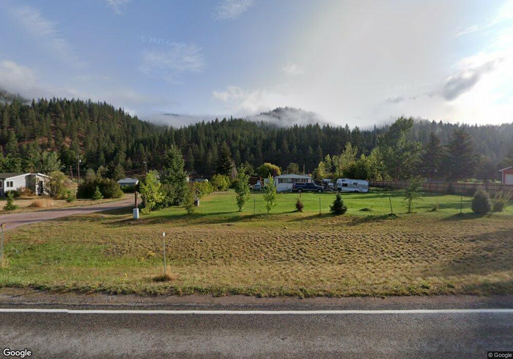
21330 US Highway 10 E Clinton, MT 59825
Estimated Value: $617,000 - $891,000
3
Beds
2
Baths
2,632
Sq Ft
$282/Sq Ft
Est. Value
About This Home
This home is located at 21330 US Highway 10 E, Clinton, MT 59825 and is currently estimated at $741,260, approximately $281 per square foot. 21330 US Highway 10 E is a home located in Missoula County with nearby schools including Clinton Elementary School and Sentinel High School.
Ownership History
Date
Name
Owned For
Owner Type
Purchase Details
Closed on
Oct 17, 2018
Sold by
Kivela Kevin T and Kivela Jennifer M
Bought by
Phillips Kersten and Phillips Lee
Current Estimated Value
Home Financials for this Owner
Home Financials are based on the most recent Mortgage that was taken out on this home.
Original Mortgage
$281,311
Outstanding Balance
$244,815
Interest Rate
4.5%
Mortgage Type
New Conventional
Estimated Equity
$496,445
Create a Home Valuation Report for This Property
The Home Valuation Report is an in-depth analysis detailing your home's value as well as a comparison with similar homes in the area
Purchase History
| Date | Buyer | Sale Price | Title Company |
|---|---|---|---|
| Phillips Kersten | -- | None Available |
Source: Public Records
Mortgage History
| Date | Status | Borrower | Loan Amount |
|---|---|---|---|
| Open | Phillips Kersten | $281,311 |
Source: Public Records
Tax History
| Year | Tax Paid | Tax Assessment Tax Assessment Total Assessment is a certain percentage of the fair market value that is determined by local assessors to be the total taxable value of land and additions on the property. | Land | Improvement |
|---|---|---|---|---|
| 2025 | $4,324 | $604,900 | $150,100 | $454,800 |
| 2024 | $4,878 | $503,700 | $97,600 | $406,100 |
| 2023 | $4,193 | $503,700 | $97,600 | $406,100 |
| 2022 | $3,250 | $321,600 | $0 | $0 |
| 2021 | $3,144 | $321,600 | $0 | $0 |
| 2020 | $3,167 | $308,700 | $0 | $0 |
| 2019 | $3,151 | $308,700 | $0 | $0 |
| 2018 | $2,755 | $282,200 | $0 | $0 |
| 2017 | $2,489 | $282,200 | $0 | $0 |
| 2016 | $2,649 | $287,700 | $0 | $0 |
| 2015 | $2,472 | $287,700 | $0 | $0 |
| 2014 | $2,050 | $133,295 | $0 | $0 |
Source: Public Records
Map
Nearby Homes
- 21082 Pamin Loop
- Lot 13 Pamin Loop
- Lot 15 Muddler Ct
- Lot 16 Stonefly Rd
- Lot 12 Stonefly Rd
- Lot 11 Stonefly Rd
- Lot 17 Caddisfly Ct
- Lot 9 Stonefly Rd
- 24570 Stonefly Rd
- Lot 2 Caddisfly Ct
- 14297 Caddisfly Ct
- 11055 Silver St
- NHN Stitt St
- 22225 Wallace Creek Rd
- 25575 Patter Spur Rd S
- Nhn Bonita Ranger Station Rd
- Nhn Us Highway 10 E
- 27235 Lazy Springs Rd
- 17755 E Mullan Rd
- Nhn Bonita Station Rd
- 21330 Us Highway 10 E
- 21330 Us Highway 10 E
- 21350 Us Highway 10 E
- 21292 Us Highway 10 E
- 21370 Us Highway 10 E
- 21400 Us Highway 10 E
- 21375 E Mullan Rd
- 21450 Us Highway 10 E
- 21275 E Mullan Rd
- 21255 E Mullan Rd
- 21333 E Mullan Rd
- 21225 E Mullan Rd
- 21199 E Mullan Rd
- 21600 Us Highway 10 E
- 21191 E Mullan Rd
- 21155 E Mullan Rd
- 12895 Hawk Ln
- 21185 E Mullan Rd
- 12867 Hawk Ln
- 20895 E Mullan Rd
Your Personal Tour Guide
Ask me questions while you tour the home.