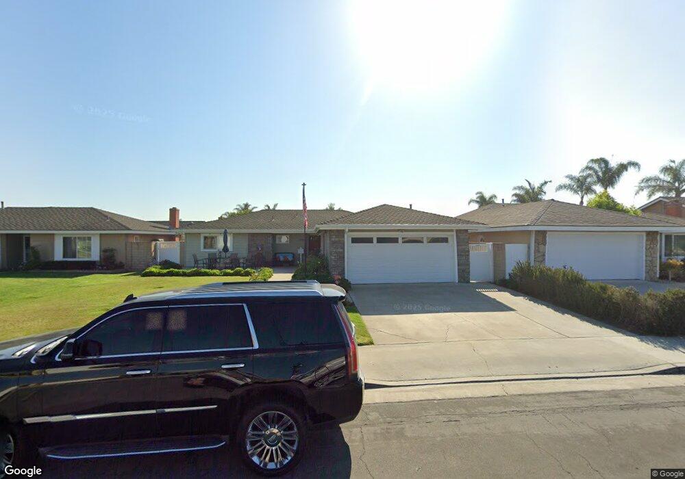
21332 Sand Dollar Ln Huntington Beach, CA 92646
Southeast NeighborhoodEstimated Value: $1,352,436 - $1,517,000
3
Beds
2
Baths
1,623
Sq Ft
$902/Sq Ft
Est. Value
About This Home
This home is located at 21332 Sand Dollar Ln, Huntington Beach, CA 92646 and is currently estimated at $1,464,359, approximately $902 per square foot. 21332 Sand Dollar Ln is a home located in Orange County with nearby schools including S.A. Moffett Elementary School, Isaac L. Sowers Middle School, and Edison High School.
Ownership History
Date
Name
Owned For
Owner Type
Purchase Details
Closed on
Feb 5, 2021
Sold by
Wilson Ronald R and Wilson Sophia D
Bought by
Wilson Ronald R and Wilson Sophia D
Current Estimated Value
Purchase Details
Closed on
Oct 10, 1996
Sold by
Wilson Ronald R and Wilson Sophia D
Bought by
Wilson Ronald R and Wilson Sophia D
Create a Home Valuation Report for This Property
The Home Valuation Report is an in-depth analysis detailing your home's value as well as a comparison with similar homes in the area
Home Values in the Area
Average Home Value in this Area
Purchase History
| Date | Buyer | Sale Price | Title Company |
|---|---|---|---|
| Wilson Ronald R | -- | None Available | |
| Wilson Ronald R | -- | None Available | |
| Wilson Ronald R | -- | -- |
Source: Public Records
Tax History Compared to Growth
Tax History
| Year | Tax Paid | Tax Assessment Tax Assessment Total Assessment is a certain percentage of the fair market value that is determined by local assessors to be the total taxable value of land and additions on the property. | Land | Improvement |
|---|---|---|---|---|
| 2025 | $5,291 | $453,203 | $333,040 | $120,163 |
| 2024 | $5,291 | $444,317 | $326,510 | $117,807 |
| 2023 | $5,171 | $435,605 | $320,107 | $115,498 |
| 2022 | $5,035 | $427,064 | $313,830 | $113,234 |
| 2021 | $4,943 | $418,691 | $307,677 | $111,014 |
| 2020 | $4,910 | $414,398 | $304,522 | $109,876 |
| 2019 | $4,854 | $406,273 | $298,551 | $107,722 |
| 2018 | $4,780 | $398,307 | $292,697 | $105,610 |
| 2017 | $4,716 | $390,498 | $286,958 | $103,540 |
| 2016 | $4,512 | $382,842 | $281,332 | $101,510 |
| 2015 | $4,468 | $377,092 | $277,106 | $99,986 |
| 2014 | $4,375 | $369,706 | $271,678 | $98,028 |
Source: Public Records
Map
Nearby Homes
- 21131 Greenboro Ln
- 21032 Shepherd Ln
- 21211 Poston Ln
- 8284 Kendall Dr
- 8633 Portola Ct Unit 18G
- 8633 Portola Ct
- 8401 Atlanta Ave
- 8788 Coral Springs Ct Unit 203
- 8331 Snowbird Dr
- 21851 Newland St Unit 7
- 21851 Newland St Unit 279
- 21851 Newland St Unit 58
- 21851 Newland St Unit 8
- 21851 Newland St Unit 45
- 21851 Newland St Unit 255
- 21851 Newland St Unit 232
- 21851 Newland St Unit 117
- 21851 Newland St Unit 44
- 21851 Newland St Unit 209
- 21851 Newland St Unit 270
- 21322 Sand Dollar Ln
- 21342 Sand Dollar Ln
- 21331 Seaforth Ln
- 21341 Seaforth Ln
- 21321 Seaforth Ln
- 21312 Sand Dollar Ln
- 21352 Sand Dollar Ln
- 21331 Sand Dollar Ln
- 21351 Seaforth Ln
- 21311 Seaforth Ln
- 21321 Sand Dollar Ln
- 21341 Sand Dollar Ln
- 21302 Sand Dollar Ln
- 21362 Sand Dollar Ln
- 21311 Sand Dollar Ln
- 21351 Sand Dollar Ln
- 21361 Seaforth Ln
- 21301 Seaforth Ln
- 21301 Sand Dollar Ln
- 21361 Sand Dollar Ln