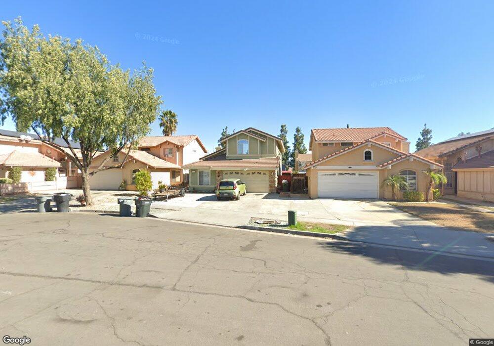
2135 Foxtail Ct Perris, CA 92571
Central Perris NeighborhoodEstimated Value: $491,712 - $515,000
3
Beds
3
Baths
1,650
Sq Ft
$305/Sq Ft
Est. Value
About This Home
This home is located at 2135 Foxtail Ct, Perris, CA 92571 and is currently estimated at $503,928, approximately $305 per square foot. 2135 Foxtail Ct is a home located in Riverside County with nearby schools including Triple Crown Elementary School, Lakeside Middle School, and Rancho Verde High School.
Ownership History
Date
Name
Owned For
Owner Type
Purchase Details
Closed on
Feb 7, 2020
Sold by
Nunez Irene M and Nunez Irene Marie
Bought by
Nunez Irene Marie and Irene Marie Nunez Revocable Li
Current Estimated Value
Purchase Details
Closed on
Jun 25, 2008
Sold by
Nunez Irene Marie
Bought by
Nunez Irene M and The Irene M Nunez Living Trust
Purchase Details
Closed on
Sep 20, 1993
Sold by
Lewis Homes Of California
Bought by
Nunez Joseph Angelo and Nunez Irene Marie
Home Financials for this Owner
Home Financials are based on the most recent Mortgage that was taken out on this home.
Original Mortgage
$119,016
Interest Rate
6.74%
Mortgage Type
FHA
Create a Home Valuation Report for This Property
The Home Valuation Report is an in-depth analysis detailing your home's value as well as a comparison with similar homes in the area
Home Values in the Area
Average Home Value in this Area
Purchase History
| Date | Buyer | Sale Price | Title Company |
|---|---|---|---|
| Nunez Irene Marie | -- | Provident Title Company | |
| Nunez Irene M | -- | None Available | |
| Nunez Joseph Angelo | $125,000 | Commonwealth Land Title |
Source: Public Records
Mortgage History
| Date | Status | Borrower | Loan Amount |
|---|---|---|---|
| Previous Owner | Nunez Joseph Angelo | $119,016 |
Source: Public Records
Tax History
| Year | Tax Paid | Tax Assessment Tax Assessment Total Assessment is a certain percentage of the fair market value that is determined by local assessors to be the total taxable value of land and additions on the property. | Land | Improvement |
|---|---|---|---|---|
| 2025 | $2,707 | $233,183 | $50,968 | $182,215 |
| 2023 | $2,707 | $224,131 | $48,990 | $175,141 |
| 2022 | $2,627 | $219,737 | $48,030 | $171,707 |
| 2021 | $2,608 | $215,430 | $47,089 | $168,341 |
| 2020 | $2,582 | $213,222 | $46,607 | $166,615 |
| 2019 | $2,435 | $209,043 | $45,694 | $163,349 |
| 2018 | $2,400 | $204,946 | $44,799 | $160,147 |
| 2017 | $2,346 | $200,928 | $43,921 | $157,007 |
| 2016 | $2,318 | $196,989 | $43,060 | $153,929 |
| 2015 | $2,284 | $194,032 | $42,414 | $151,618 |
| 2014 | $2,256 | $190,233 | $41,584 | $148,649 |
Source: Public Records
Map
Nearby Homes
- 560 Coudures Way
- 575 Prairie Way
- 377 Aurora Dr
- 1942 Sandcastle Dr
- 723 Anthirium Ave
- 705 Fuchsia Ln
- 763 Anthirium Ave
- 1947 Neptune Dr
- 2248 Ridge Ct
- 544 Turquoise Dr
- 2143 Willowbrook Ln
- 2269 Firebrand Ave
- 2293 Murrieta Rd
- 2063 Willowbrook Ln
- 716 Periwinkle Ln
- 2036 Cherrytree Dr
- 166 Ambrosia Ct
- 1047 Laguna St
- 1042 Cordozo St
- 129 Olivetree Dr
- 2095 Foxtail Ct
- 2141 Foxtail Ct
- 2089 Foxtail Ct
- 2147 Foxtail Ct
- 2122 Jean Marie Way
- 2092 Jean Marie Way
- 2128 Jean Marie Way
- 2083 Foxtail Ct
- 2086 Jean Marie Way
- 2134 Jean Marie Way
- 517 Dusty Ln
- 511 Dusty Ln
- 2080 Jean Marie Way
- 523 Dusty Ln
- 505 Dusty Ln
- 529 Dusty Ln
- 495 Dusty Ln
- 508 Granite View Dr
- 2116 Foxtail Ct
- 514 Granite View Dr
Your Personal Tour Guide
Ask me questions while you tour the home.