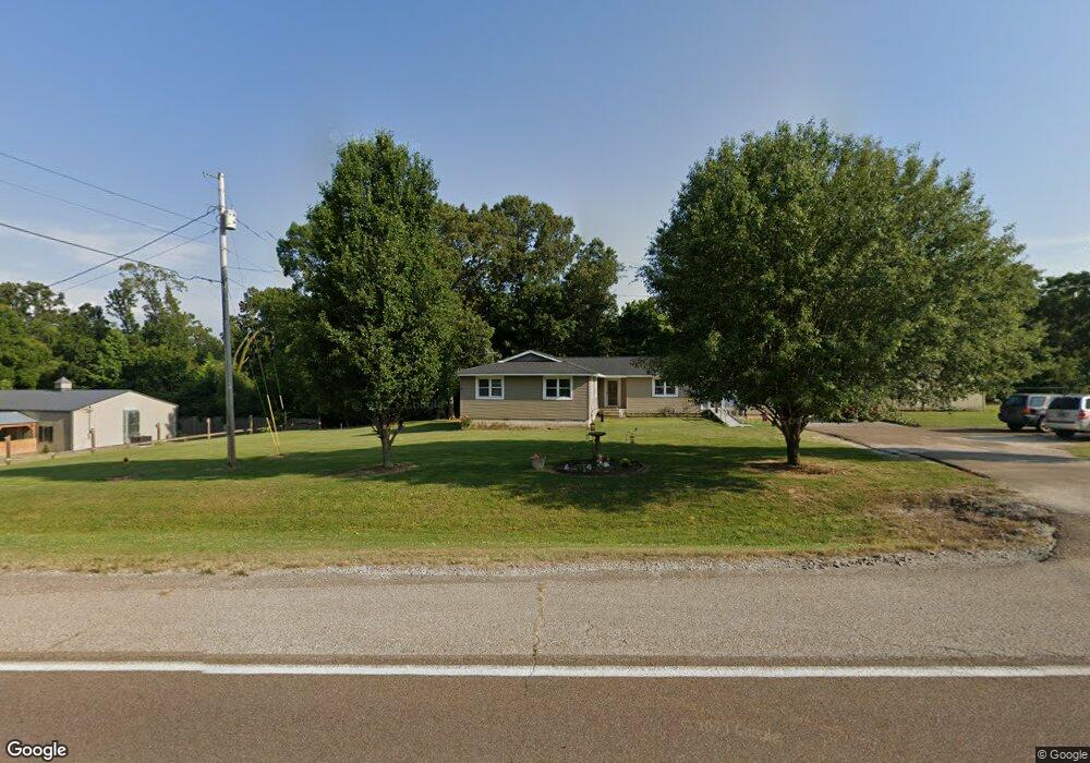
21358 Highway 79 Gadsden, TN 38337
Estimated Value: $187,545 - $318,000
--
Bed
--
Bath
1,844
Sq Ft
$129/Sq Ft
Est. Value
About This Home
This home is located at 21358 Highway 79, Gadsden, TN 38337 and is currently estimated at $237,136, approximately $128 per square foot. 21358 Highway 79 is a home with nearby schools including Crockett County High School.
Ownership History
Date
Name
Owned For
Owner Type
Purchase Details
Closed on
Apr 16, 2024
Sold by
Deason Sarah and Deason Jonathan David
Bought by
Taylor S Jasper
Current Estimated Value
Purchase Details
Closed on
Aug 23, 2006
Sold by
Vaneubanks Jimmy Van
Bought by
Robinson Barry
Purchase Details
Closed on
Nov 21, 1979
Bought by
Vanvanvanvaneubanks Jimmy Van
Purchase Details
Closed on
Oct 2, 1972
Purchase Details
Closed on
Jan 1, 1972
Purchase Details
Closed on
Jan 2, 1900
Create a Home Valuation Report for This Property
The Home Valuation Report is an in-depth analysis detailing your home's value as well as a comparison with similar homes in the area
Home Values in the Area
Average Home Value in this Area
Purchase History
| Date | Buyer | Sale Price | Title Company |
|---|---|---|---|
| Taylor S Jasper | $158,000 | None Listed On Document | |
| Deason Sarah | $163,000 | None Listed On Document | |
| Robinson Barry | $93,000 | -- | |
| Vanvanvanvaneubanks Jimmy Van | -- | -- | |
| -- | -- | -- | |
| -- | $1,000 | -- | |
| -- | -- | -- |
Source: Public Records
Tax History Compared to Growth
Tax History
| Year | Tax Paid | Tax Assessment Tax Assessment Total Assessment is a certain percentage of the fair market value that is determined by local assessors to be the total taxable value of land and additions on the property. | Land | Improvement |
|---|---|---|---|---|
| 2025 | $1,048 | $67,525 | $0 | $0 |
| 2024 | $1,048 | $46,150 | $2,525 | $43,625 |
| 2023 | $1,027 | $46,150 | $2,525 | $43,625 |
| 2022 | $1,048 | $46,150 | $2,525 | $43,625 |
| 2021 | $562 | $21,300 | $1,775 | $19,525 |
| 2020 | $551 | $21,300 | $1,775 | $19,525 |
| 2019 | $562 | $21,300 | $1,775 | $19,525 |
| 2018 | $556 | $21,075 | $1,775 | $19,300 |
| 2017 | $566 | $21,425 | $2,125 | $19,300 |
| 2016 | $566 | $21,425 | $2,125 | $19,300 |
| 2015 | $621 | $21,425 | $2,125 | $19,300 |
| 2014 | $621 | $23,521 | $0 | $0 |
Source: Public Records
Map
Nearby Homes
- 21679 U S 79
- 00 Lot#1 Humboldt Lake Rd
- 00 Lot#4 Humboldt Lake Rd
- 127 Franklin St
- 133 Mason St
- 136 Mason Grove Rd
- 397 Aubrey Fergerson Rd
- 0 Aubrey Fergerson Rd
- 00 Plomar Williams Rd
- 0 Plomar Williams Rd
- 00 Highway 45 W
- 159 Lipford Ln
- 120 Westwood Cove
- 580 Westside Dr
- 0 MacLin St Unit 224868
- 76 Etheridge St Unit R
- 0 W Main St
- 73 Etheridge St
- 0 Clarence Norfleet Rd
- 214 Vine St
- 2155 Highway 79 E
- 21396 Highway 79
- 21306 Highway 79
- 21423 Highway 79
- 21392 Highway 79
- 21258 Highway 79
- 0 Tinsley Rd
- 21251 Highway 79
- 21478 Highway 79
- 124 Tinsley Rd
- 21502 Highway 79
- 138 Tinsley Rd
- 21135 Highway 79
- 21116 Highway 79
- 21116 Hwy 79
- 21088 Highway 79
- 21095 Highway 79
- 21095 U S 79
- 21679 Highway 79
- 21679 Hwy 79