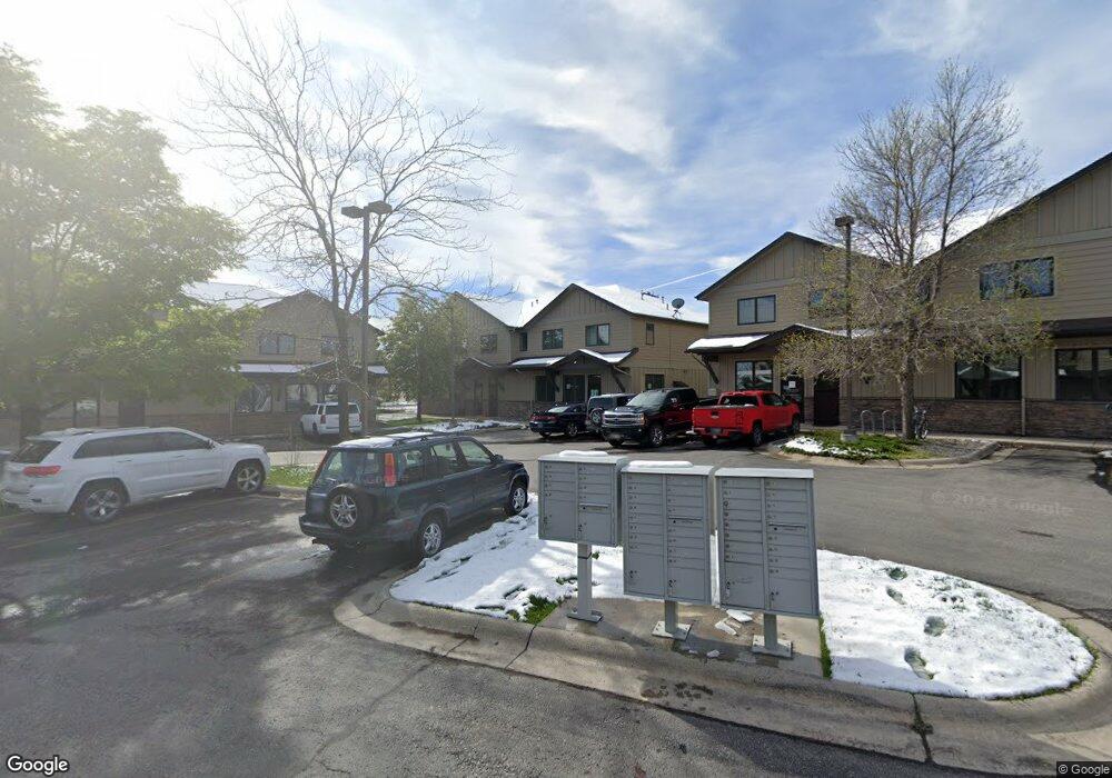
2137 Durston Rd Unit 27 Bozeman, MT 59718
North Bozeman NeighborhoodEstimated Value: $357,629
--
Bed
--
Bath
892
Sq Ft
$401/Sq Ft
Est. Value
About This Home
This home is located at 2137 Durston Rd Unit 27, Bozeman, MT 59718 and is currently priced at $357,629, approximately $400 per square foot. 2137 Durston Rd Unit 27 is a home located in Gallatin County with nearby schools including Lincoln Titus Elementary School, Emily Dickinson School, and William G. Houston Middle School.
Ownership History
Date
Name
Owned For
Owner Type
Purchase Details
Closed on
Jun 9, 2006
Sold by
Summer Creek Llc
Bought by
Mccalley Vladimira K
Current Estimated Value
Home Financials for this Owner
Home Financials are based on the most recent Mortgage that was taken out on this home.
Original Mortgage
$140,980
Outstanding Balance
$81,902
Interest Rate
6.55%
Mortgage Type
Purchase Money Mortgage
Create a Home Valuation Report for This Property
The Home Valuation Report is an in-depth analysis detailing your home's value as well as a comparison with similar homes in the area
Home Values in the Area
Average Home Value in this Area
Purchase History
| Date | Buyer | Sale Price | Title Company |
|---|---|---|---|
| Mccalley Vladimira K | -- | Montana Title & Escrow |
Source: Public Records
Mortgage History
| Date | Status | Borrower | Loan Amount |
|---|---|---|---|
| Open | Mccalley Vladimira K | $140,980 |
Source: Public Records
Tax History Compared to Growth
Tax History
| Year | Tax Paid | Tax Assessment Tax Assessment Total Assessment is a certain percentage of the fair market value that is determined by local assessors to be the total taxable value of land and additions on the property. | Land | Improvement |
|---|---|---|---|---|
| 2025 | $2,492 | $350,500 | $0 | $0 |
| 2024 | $2,497 | $267,900 | $0 | $0 |
| 2023 | $2,419 | $267,900 | $0 | $0 |
| 2022 | $2,289 | $213,200 | $0 | $0 |
| 2021 | $2,526 | $213,200 | $0 | $0 |
| 2020 | $2,314 | $193,200 | $0 | $0 |
| 2019 | $2,366 | $193,200 | $0 | $0 |
| 2018 | $2,109 | $159,600 | $0 | $0 |
| 2017 | $2,083 | $159,600 | $0 | $0 |
| 2016 | $2,189 | $165,600 | $0 | $0 |
| 2015 | $2,191 | $165,600 | $0 | $0 |
| 2014 | $2,385 | $148,513 | $0 | $0 |
Source: Public Records
Map
Nearby Homes
- 420 N 22nd Ave
- 510 N 23rd Ave
- 402 & 404 N 19th Ave
- 748 Rogers Way Unit C
- 748 Rogers Way Unit A
- 748 Rogers Way
- 748 Rogers Way Unit B
- 403 N 18th Ave
- TBD N 19th Ave
- 740 Rogers Way Unit C
- 740 Rogers Way Unit B
- 740 Rogers Way Unit A
- 928 Mountain Ash Ave
- 318 & 320 N 19th
- 745 Rogers Way
- 907 N 17th Ave
- 2400 Durston Rd Unit 15
- 894 Rogers Way
- 152 Laager Loop
- 304 N 16th Ave
- 2135 Charlotte St
- 2137 Durston Rd Unit 26
- 2137 Durston Rd Unit 29
- 2135 Charlotte St Unit 7B
- 2137 Durston Rd Unit 30
- 2137 Durston Rd Unit 28
- 2135 Charlotte St Unit 2
- 2149 Durston Rd
- 2123 Durston Rd
- 2123 Durston Rd Unit 18
- 2123 Durston Rd Unit 23
- 2123 Durston Rd Unit 24
- 2123 Durston Rd Unit 21
- 2123 Durston Rd Unit 22
- 2123 Durston Rd Unit 19
- 2123 Durston Rd Unit 17
- 2123 Durston Rd Unit 20
- 2149 Durston Rd Unit 31
- 2149 Durston Rd Unit 34
- 2149 Durston Rd Unit 33