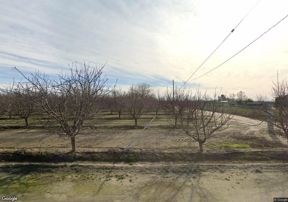
2137 E Sumner Ave Fresno, CA 93725
Estimated Value: $355,896 - $446,000
1
Bed
1
Bath
560
Sq Ft
$702/Sq Ft
Est. Value
About This Home
This home is located at 2137 E Sumner Ave, Fresno, CA 93725 and is currently estimated at $392,974, approximately $701 per square foot. 2137 E Sumner Ave is a home located in Fresno County with nearby schools including Pacific Union Elementary School and Washington High School.
Ownership History
Date
Name
Owned For
Owner Type
Purchase Details
Closed on
Jun 24, 2021
Sold by
Gentle William R
Bought by
Marthedal Jon E and Marthedal Sandra J
Current Estimated Value
Purchase Details
Closed on
Sep 4, 2019
Sold by
Gentle William R
Bought by
State Of California
Purchase Details
Closed on
Dec 27, 2018
Sold by
Gentle William R
Bought by
Marthedal Jon E and Marthedal Sandra J
Purchase Details
Closed on
Nov 19, 2015
Sold by
Gentle William R
Bought by
State Of California
Purchase Details
Closed on
May 15, 1998
Sold by
Turner Anita L
Bought by
Turner Anita L and Turner William R
Create a Home Valuation Report for This Property
The Home Valuation Report is an in-depth analysis detailing your home's value as well as a comparison with similar homes in the area
Home Values in the Area
Average Home Value in this Area
Purchase History
| Date | Buyer | Sale Price | Title Company |
|---|---|---|---|
| Marthedal Jon E | $250,000 | Chicago Title Company | |
| State Of California | -- | Fidelity National Title | |
| Marthedal Jon E | $600,000 | Chicago Title Company | |
| State Of California | -- | Fidelity National Title Co | |
| Turner Anita L | -- | -- |
Source: Public Records
Tax History Compared to Growth
Tax History
| Year | Tax Paid | Tax Assessment Tax Assessment Total Assessment is a certain percentage of the fair market value that is determined by local assessors to be the total taxable value of land and additions on the property. | Land | Improvement |
|---|---|---|---|---|
| 2025 | $3,474 | $262,498 | $170,482 | $92,016 |
| 2023 | $3,474 | $252,307 | $163,863 | $88,444 |
| 2022 | $3,107 | $247,360 | $160,650 | $86,710 |
| 2021 | $1,556 | $109,046 | $32,920 | $76,126 |
| 2020 | $1,473 | $107,929 | $32,583 | $75,346 |
| 2019 | $1,446 | $105,814 | $31,945 | $73,869 |
| 2018 | $1,417 | $103,740 | $31,319 | $72,421 |
Source: Public Records
Map
Nearby Homes
- 7265 S Chestnut Ave
- 5942 S Cedar Ave
- 0 S Cherry Ave Unit 236382
- 6658 S Peach Ave
- 3415 E Lincoln Ave
- 120 Lot Rd
- 6102 S Cherry Ave
- 5938 S Cherry Ave
- 543 E Hopkins Ave
- 795 E Springfield Ave
- 0 S Maple Ave Unit 626629
- 256 W Clayton Ave
- 7323 S Kenneth Ave
- 102 E Willamette Ave
- 8139 S Kenneth Ave
- 6200 S Clovis Ave
- 857 S Philip Ave
- 25 W Dinuba Ave
- 2801 E American Ave
- 5525 S Fig Ave
- 2075 E Sumner Ave
- 7512 S Cedar Ave
- 7738 S Cedar Ave
- 7469 S Cedar Ave
- 7802 S Cedar Ave
- 7843 S Cedar Ave
- 7787 S Maple Ave
- 7910 S Cedar Ave
- 7463 S Maple Ave
- 7407 S Maple Ave
- 7580 S Maple Ave
- 7218 S Cedar Ave
- 7420 S Maple Ave
- 1701 E Sumner Ave
- 7349 S Maple Ave
- 1675 E Sumner Ave
- 7774 S Maple Ave
- 2561 E Sumner Ave
- 7502 S Maple Ave
- 7257 S Maple Ave
