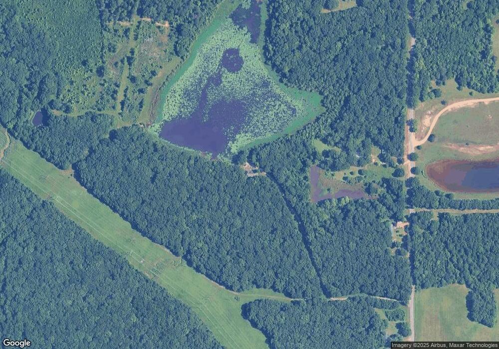
2137 Windmill Rd West Point, MS 39773
Estimated Value: $79,599 - $117,000
2
Beds
--
Bath
1,184
Sq Ft
$83/Sq Ft
Est. Value
About This Home
This home is located at 2137 Windmill Rd, West Point, MS 39773 and is currently estimated at $98,300, approximately $83 per square foot. 2137 Windmill Rd is a home with nearby schools including East Side Elementary School, West Clay Elementary School, and Church Hill Elementary School.
Ownership History
Date
Name
Owned For
Owner Type
Purchase Details
Closed on
Jul 16, 2021
Sold by
Kale Farms Llc
Bought by
Barham Terry Glenn
Current Estimated Value
Purchase Details
Closed on
Jun 18, 2021
Sold by
Longstreet Eddie A
Bought by
Glenn Barham Terry
Purchase Details
Closed on
Sep 16, 2020
Sold by
Longstreet Eddie A
Bought by
Glenn Barham Terry
Purchase Details
Closed on
Apr 6, 2017
Sold by
Barham Paul E
Bought by
Barham Terry Glenn
Create a Home Valuation Report for This Property
The Home Valuation Report is an in-depth analysis detailing your home's value as well as a comparison with similar homes in the area
Purchase History
| Date | Buyer | Sale Price | Title Company |
|---|---|---|---|
| Barham Terry Glenn | -- | None Available | |
| Glenn Barham Terry | -- | None Listed On Document | |
| Glenn Barham Terry | -- | None Listed On Document | |
| Glenn Barham Terry | -- | None Listed On Document | |
| Barham Terry Glenn | -- | -- |
Source: Public Records
Tax History
| Year | Tax Paid | Tax Assessment Tax Assessment Total Assessment is a certain percentage of the fair market value that is determined by local assessors to be the total taxable value of land and additions on the property. | Land | Improvement |
|---|---|---|---|---|
| 2025 | $216 | $3,840 | $1,260 | $2,580 |
| 2024 | $216 | $3,840 | $1,260 | $2,580 |
| 2023 | $391 | $3,447 | $1,260 | $2,187 |
| 2022 | $191 | $3,447 | $1,260 | $2,187 |
| 2021 | $191 | $3,447 | $1,260 | $2,187 |
| 2020 | $190 | $3,447 | $1,260 | $2,187 |
| 2019 | $186 | $3,531 | $1,260 | $2,271 |
| 2018 | $178 | $3,531 | $1,260 | $2,271 |
| 2017 | $0 | $2,354 | $840 | $1,514 |
| 2016 | -- | $2,354 | $840 | $1,514 |
| 2015 | -- | $2,431 | $840 | $1,591 |
| 2014 | $181 | $2,431 | $840 | $1,591 |
| 2013 | $181 | $2,431 | $840 | $1,591 |
Source: Public Records
Map
Nearby Homes
- 0 Riverchase Dr
- 12 Clisby Rd
- 4 Clisby Rd
- 6 Clisby Rd
- 5 Clisby Rd
- 13 Clisby Rd
- 0 Dogwood Dr
- 0 Officers Lake Rd
- 1873 Sandy Land Rd
- 84 Waverly Dr
- 774 River Oaks Dr
- 714 Herman Shirley Rd
- 0 Jess Lyons Rd
- 43 Garden Cove
- 3267 Old West Point Rd
- 1 Sleepy Hollow Dr
- 112 Steeplechase Dr
- 21 Shadowlawn Cove
- 145 Waverly Dr
- 0 Waverly Dr
- 6830 Waverly Rd
- 7830 Waverly Rd
- 349 Clisby Rd
- 7894 Waverly Rd
- 7932 Waverly Rd
- 1503 Decker Rd
- 0 Decker Rd
- 9479 Waverly Rd
- 110 Ivy Dr
- 7658 Waverly Rd
- 633 Decker Rd
- 1644 Decker Rd
- 1015 Waverley Mansion Rd
- 947 Waverley Mansion Rd
- 1852 Waverly Mansion Rd
- 2332 Windmill Rd
- 172 Old Highway 50
- 1840 Decker Rd
- 277 Kelly Rd
- 76 Old Highway 50
