Estimated Value: $254,000 - $331,000
Studio
--
Bath
1,092
Sq Ft
$277/Sq Ft
Est. Value
About This Home
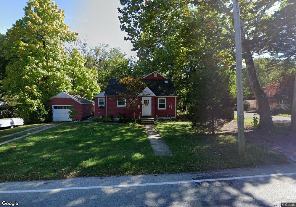
This home is located at 2138 Bartram Ave, Atco, NJ 08004 and is currently estimated at $302,567, approximately $277 per square foot. 2138 Bartram Ave is a home located in Camden County with nearby schools including Thomas Richards Elementary School, Waterford Elementary School, and Atco Elementary School.
Ownership History
Date
Name
Owned For
Owner Type
Purchase Details
Closed on
Oct 28, 2014
Sold by
Estate Of Alma A Merendino and Meredino Anthony J
Bought by
Parone Joseph D
Current Estimated Value
Home Financials for this Owner
Home Financials are based on the most recent Mortgage that was taken out on this home.
Original Mortgage
$142,755
Outstanding Balance
$108,460
Interest Rate
4.17%
Mortgage Type
New Conventional
Estimated Equity
$194,107
Create a Home Valuation Report for This Property
The Home Valuation Report is an in-depth analysis detailing your home's value as well as a comparison with similar homes in the area
Home Values in the Area
Average Home Value in this Area
Purchase History
| Date | Buyer | Sale Price | Title Company |
|---|---|---|---|
| Parone Joseph D | $139,900 | Title America Agency Corp |
Source: Public Records
Mortgage History
| Date | Status | Borrower | Loan Amount |
|---|---|---|---|
| Open | Parone Joseph D | $142,755 |
Source: Public Records
Tax History
| Year | Tax Paid | Tax Assessment Tax Assessment Total Assessment is a certain percentage of the fair market value that is determined by local assessors to be the total taxable value of land and additions on the property. | Land | Improvement |
|---|---|---|---|---|
| 2025 | $6,484 | $142,200 | $42,700 | $99,500 |
| 2024 | $6,110 | $142,200 | $42,700 | $99,500 |
| 2023 | $6,110 | $142,200 | $42,700 | $99,500 |
| 2022 | $5,839 | $142,200 | $42,700 | $99,500 |
| 2021 | $5,810 | $142,200 | $42,700 | $99,500 |
| 2020 | $5,782 | $142,200 | $42,700 | $99,500 |
| 2019 | $5,694 | $142,200 | $42,700 | $99,500 |
| 2018 | $5,688 | $142,200 | $42,700 | $99,500 |
| 2017 | $5,600 | $142,200 | $42,700 | $99,500 |
| 2016 | $5,519 | $142,200 | $42,700 | $99,500 |
| 2015 | $5,374 | $142,200 | $42,700 | $99,500 |
| 2014 | $4,863 | $97,100 | $28,900 | $68,200 |
Source: Public Records
Map
Nearby Homes
- 2172 Atco Ave
- 2216 Harrison Ave
- 402 Holly Dr
- 202 Bartal Ct
- 470 Waterfords Edge Ct
- 442 Waterfords Edge Ct
- 2107 Cooper Rd
- 9 Bromley Ct
- 344 Raritan Ave
- 18 Wakefield Rd
- 22 Josie Ln
- 33 Windingbrook Dr
- 61 Virginia Dr
- 295 White Horse Pike
- 2307 Cooper Rd
- 2311 Gennessee Ave
- 2317 Cooper Rd
- 2212 Kingsford Ln
- 2006 A Ave
- 158 Baker Ave
- 2134 Bartram Ave
- 2142 Bartram Ave
- 2148 Bartram Ave
- 2130 Bartram Ave
- 422 Front St
- 2126 Bartram Ave
- 427 Front St
- 0002 Clifford Ave
- 0001 Clifford Ave
- 000 Clifford Ave
- 0000 Clifford Ave
- 418 Front St
- 2152 Bartram Ave
- 2127 Bartram Ave
- 2122 Bartram Ave
- 2147 Bartram Ave
- 2121 Bartram Ave
- 419 Front St
- 475 W Atlantic Ave
- 2158 Bartram Ave
Your Personal Tour Guide
Ask me questions while you tour the home.