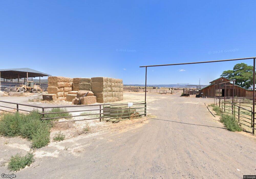
21385 Adams Point Rd E Merrill, OR 97633
Estimated Value: $418,000 - $602,170
2
Beds
1
Bath
1,067
Sq Ft
$478/Sq Ft
Est. Value
About This Home
This home is located at 21385 Adams Point Rd E, Merrill, OR 97633 and is currently estimated at $510,085, approximately $478 per square foot. 21385 Adams Point Rd E is a home located in Klamath County with nearby schools including Malin Elementary School and Lost River High School.
Ownership History
Date
Name
Owned For
Owner Type
Purchase Details
Closed on
May 23, 2017
Sold by
Mcfarland Dan
Bought by
Mcfarland Ranches Llc
Current Estimated Value
Purchase Details
Closed on
Jan 25, 2010
Sold by
Prudential Relocation Inc
Bought by
Mcfarland Dan
Purchase Details
Closed on
Mar 23, 2005
Sold by
Hart Estate Investments Co
Bought by
Mikulski Adam K and Mikulski Karen L
Home Financials for this Owner
Home Financials are based on the most recent Mortgage that was taken out on this home.
Original Mortgage
$250,000
Interest Rate
5.53%
Mortgage Type
Purchase Money Mortgage
Create a Home Valuation Report for This Property
The Home Valuation Report is an in-depth analysis detailing your home's value as well as a comparison with similar homes in the area
Home Values in the Area
Average Home Value in this Area
Purchase History
| Date | Buyer | Sale Price | Title Company |
|---|---|---|---|
| Mcfarland Ranches Llc | -- | None Available | |
| Mcfarland Dan | $250,000 | None Available | |
| Mikulski Adam K | $250,000 | None Available |
Source: Public Records
Mortgage History
| Date | Status | Borrower | Loan Amount |
|---|---|---|---|
| Previous Owner | Mikulski Adam K | $250,000 |
Source: Public Records
Tax History Compared to Growth
Tax History
| Year | Tax Paid | Tax Assessment Tax Assessment Total Assessment is a certain percentage of the fair market value that is determined by local assessors to be the total taxable value of land and additions on the property. | Land | Improvement |
|---|---|---|---|---|
| 2024 | $1,666 | $166,873 | -- | -- |
| 2023 | $1,657 | $172,451 | $0 | $0 |
| 2022 | $1,529 | $154,389 | $0 | $0 |
| 2021 | $1,484 | $150,359 | $0 | $0 |
| 2020 | $1,065 | $108,055 | $0 | $0 |
| 2019 | $1,044 | $105,661 | $0 | $0 |
| 2018 | $1,007 | $101,920 | $0 | $0 |
| 2017 | $984 | $99,190 | $0 | $0 |
| 2016 | $890 | $89,520 | $0 | $0 |
| 2015 | $960 | $96,930 | $0 | $0 |
| 2014 | $841 | $86,610 | $0 | $0 |
| 2013 | -- | $92,020 | $0 | $0 |
Source: Public Records
Map
Nearby Homes
- 22990 Highway 50
- 0 Dodds Hollow Rd Unit 895073 220200218
- 18610 Taylor Rd
- 28281 Pickett Rd
- Unnamed Rd
- 19019 Drazil Rd
- 330 N Elm St Unit Parcel 2
- 638 E 1st St
- 2130 E-Z St
- 2108 Rosicky Ave
- 2236 3rd St
- 217 N Washington St
- 0 Oregon 39 Unit 1100
- 0 Oregon 39 Unit Lot 2 220203560
- 0 Oregon 39 Unit 220168688
- 0 Harpold Rd Unit 627398 220197026
- 3037 Clearbrook Place
- 3020 Clearbrook Place
- 2545 Main St
- 127 Siskiyou St
