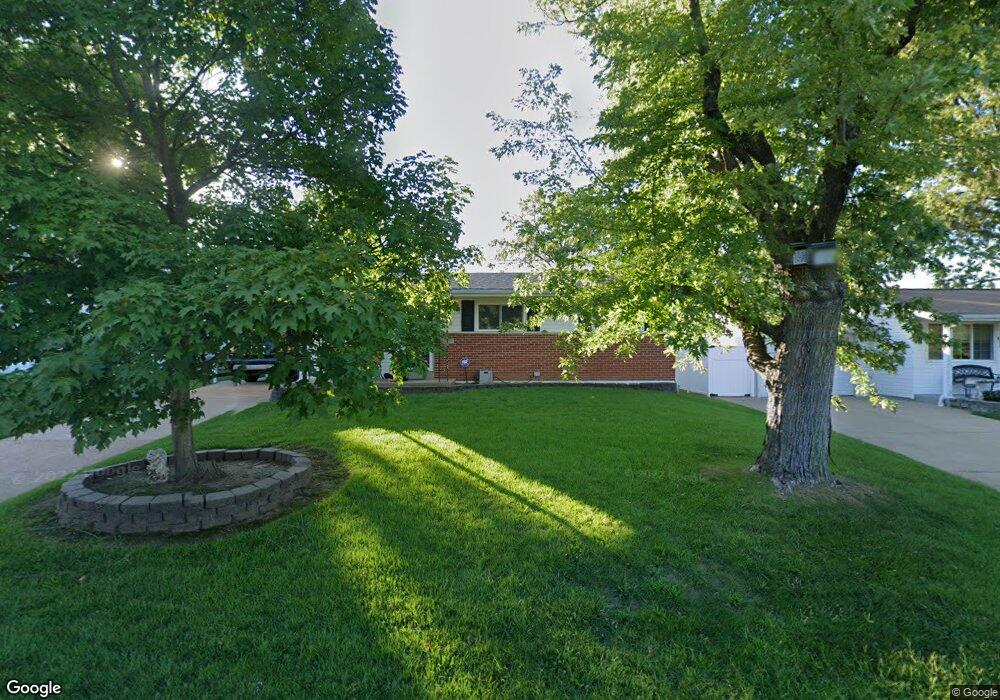
2139 Box Dr Saint Louis, MO 63125
Mehlville NeighborhoodEstimated Value: $205,584 - $239,000
3
Beds
2
Baths
936
Sq Ft
$233/Sq Ft
Est. Value
About This Home
This home is located at 2139 Box Dr, Saint Louis, MO 63125 and is currently estimated at $218,396, approximately $233 per square foot. 2139 Box Dr is a home located in St. Louis County with nearby schools including Bierbaum Elementary School, Margaret Buerkle Middle School, and Mehlville High School.
Ownership History
Date
Name
Owned For
Owner Type
Purchase Details
Closed on
Jan 25, 2012
Sold by
Zmuda Lukasz T and Zmuda Jill
Bought by
Zmuda Lukasz and Zmuda Jill
Current Estimated Value
Home Financials for this Owner
Home Financials are based on the most recent Mortgage that was taken out on this home.
Original Mortgage
$127,040
Outstanding Balance
$86,862
Interest Rate
4%
Mortgage Type
FHA
Estimated Equity
$131,534
Purchase Details
Closed on
Sep 8, 2006
Sold by
Petri Christopher A and Petri Angela J
Bought by
Zmuda Lukasz T and Zmuda Jill
Home Financials for this Owner
Home Financials are based on the most recent Mortgage that was taken out on this home.
Original Mortgage
$132,914
Interest Rate
6.64%
Mortgage Type
FHA
Purchase Details
Closed on
Jul 20, 2001
Sold by
Meinhardt James E and Meinhardt Janice L
Bought by
Petri Christopher A and Petri Angela J
Home Financials for this Owner
Home Financials are based on the most recent Mortgage that was taken out on this home.
Original Mortgage
$109,038
Interest Rate
7.05%
Mortgage Type
FHA
Create a Home Valuation Report for This Property
The Home Valuation Report is an in-depth analysis detailing your home's value as well as a comparison with similar homes in the area
Home Values in the Area
Average Home Value in this Area
Purchase History
| Date | Buyer | Sale Price | Title Company |
|---|---|---|---|
| Zmuda Lukasz | -- | None Available | |
| Zmuda Lukasz T | $135,000 | None Available | |
| Petri Christopher A | $109,900 | -- |
Source: Public Records
Mortgage History
| Date | Status | Borrower | Loan Amount |
|---|---|---|---|
| Open | Zmuda Lukasz | $127,040 | |
| Closed | Zmuda Lukasz T | $132,914 | |
| Previous Owner | Petri Christopher A | $109,038 |
Source: Public Records
Tax History
| Year | Tax Paid | Tax Assessment Tax Assessment Total Assessment is a certain percentage of the fair market value that is determined by local assessors to be the total taxable value of land and additions on the property. | Land | Improvement |
|---|---|---|---|---|
| 2025 | $2,178 | $36,660 | $14,520 | $22,140 |
| 2024 | $2,178 | $31,980 | $8,720 | $23,260 |
| 2023 | $2,178 | $31,980 | $8,720 | $23,260 |
| 2022 | $1,952 | $26,920 | $7,980 | $18,940 |
| 2021 | $1,733 | $26,920 | $7,980 | $18,940 |
| 2020 | $1,711 | $25,270 | $8,720 | $16,550 |
| 2019 | $1,706 | $25,270 | $8,720 | $16,550 |
| 2018 | $1,595 | $21,320 | $6,730 | $14,590 |
| 2017 | $1,593 | $21,320 | $6,730 | $14,590 |
| 2016 | $1,376 | $17,620 | $4,450 | $13,170 |
| 2015 | $1,291 | $17,620 | $4,450 | $13,170 |
| 2014 | -- | $20,060 | $5,510 | $14,550 |
Source: Public Records
Map
Nearby Homes
- 4116 Cornus Dr
- 4733 McCorry Dr
- 2 Ashford at Grove at Grant’s Trail Manors
- 2 Royal II at Grove at Grant’s Trail Manors
- 2541 Union Rd Unit 2541
- 2 Sterling at Grove at Grant’s Trail Manors
- 4048 Buckley Rd
- 2 Berwick at Grove at Grant’s Trail Manors
- 9924 Bunker Hill Dr Unit G
- 4259 Burnett Walk Unit 4259
- 10031 Echoridge Ln Unit A
- 9925 Bunker Hill Dr Unit F
- 9070 Villaridge Ct Unit 38
- 2 Burlington at Grove at Grant’s Trail Meadows
- 10069 N Bunker Hill Dr Unit A
- 2 Meadows
- 9404 Jachurst Ln
- 2 Belmont at Grove at Grant’s Trail Meadows
- 2 Manors
- 4108 Park Hill Ct
Your Personal Tour Guide
Ask me questions while you tour the home.