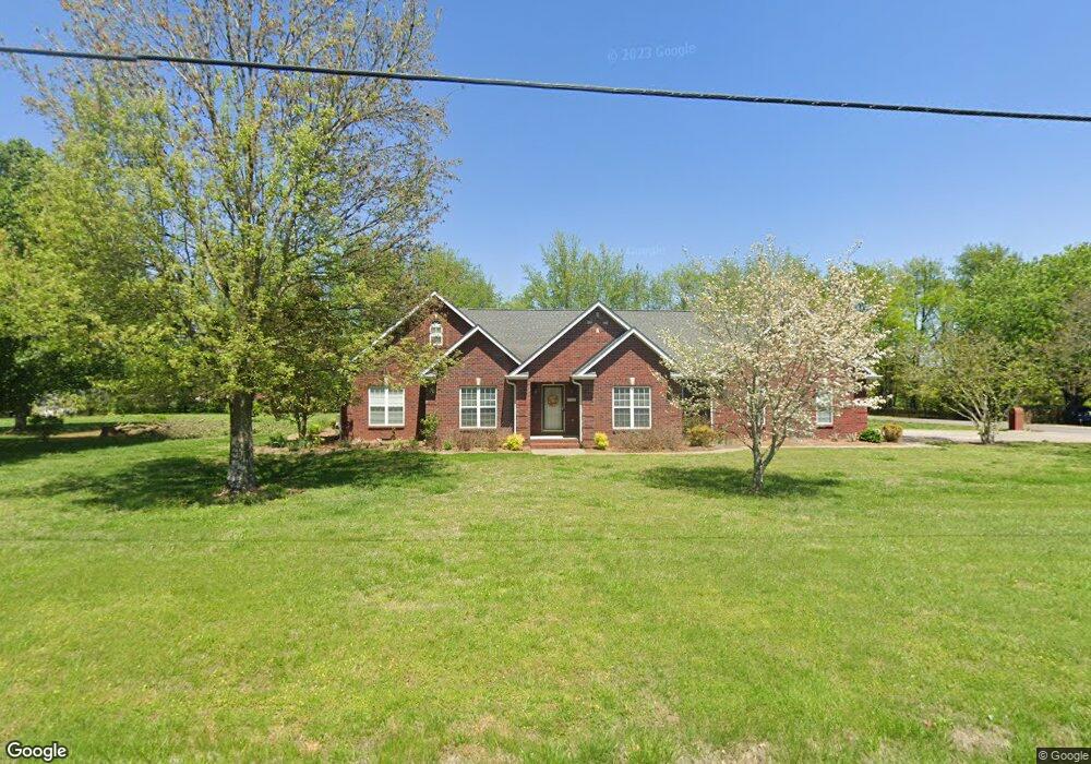
2139 Red Mile Rd Murfreesboro, TN 37127
Estimated Value: $481,058 - $565,000
Studio
4
Baths
2,522
Sq Ft
$211/Sq Ft
Est. Value
About This Home
This home is located at 2139 Red Mile Rd, Murfreesboro, TN 37127 and is currently estimated at $532,515, approximately $211 per square foot. 2139 Red Mile Rd is a home located in Rutherford County with nearby schools including Buchanan Elementary School, Whitworth-Buchanan Middle School, and Riverdale High School.
Ownership History
Date
Name
Owned For
Owner Type
Purchase Details
Closed on
Oct 31, 2018
Sold by
Bugg Margaret Brown
Bought by
Most Bridget and Zachary Scott
Current Estimated Value
Home Financials for this Owner
Home Financials are based on the most recent Mortgage that was taken out on this home.
Original Mortgage
$247,750
Outstanding Balance
$218,111
Interest Rate
4.86%
Estimated Equity
$314,404
Create a Home Valuation Report for This Property
The Home Valuation Report is an in-depth analysis detailing your home's value as well as a comparison with similar homes in the area
Home Values in the Area
Average Home Value in this Area
Purchase History
| Date | Buyer | Sale Price | Title Company |
|---|---|---|---|
| Most Bridget | $335,000 | -- |
Source: Public Records
Mortgage History
| Date | Status | Borrower | Loan Amount |
|---|---|---|---|
| Open | Most Bridget | $247,750 | |
| Closed | Most Bridget | -- |
Source: Public Records
Tax History
| Year | Tax Paid | Tax Assessment Tax Assessment Total Assessment is a certain percentage of the fair market value that is determined by local assessors to be the total taxable value of land and additions on the property. | Land | Improvement |
|---|---|---|---|---|
| 2025 | $2,224 | $118,550 | $13,750 | $104,800 |
| 2024 | $2,224 | $118,550 | $13,750 | $104,800 |
| 2023 | $2,224 | $118,550 | $13,750 | $104,800 |
| 2022 | $1,916 | $118,550 | $13,750 | $104,800 |
| 2021 | $1,834 | $82,625 | $11,250 | $71,375 |
| 2020 | $1,834 | $82,625 | $11,250 | $71,375 |
| 2019 | $1,834 | $82,625 | $11,250 | $71,375 |
| 2018 | $1,735 | $82,625 | $0 | $0 |
| 2017 | $1,666 | $62,150 | $0 | $0 |
| 2016 | $1,666 | $62,150 | $0 | $0 |
| 2015 | $1,666 | $62,150 | $0 | $0 |
| 2014 | $1,545 | $62,150 | $0 | $0 |
| 2013 | -- | $60,925 | $0 | $0 |
Source: Public Records
Map
Nearby Homes
- 1680 Irby Ln
- 1926 Irby Ln
- 2021 Keenland Dr
- 2655 Manchester Pike
- 2306 Red Mile Rd
- 2422 Turtle Trace
- 1709 Thomas Ct
- 2363 Irby Ln
- 2341 Fig Dr
- 2223 Viking Ct
- 2260 Viking Ct
- 3260 Bradyville Pike
- 3266 Bradyville Pike
- 1607 Kensington Dr
- 3416 Plum Leaf Place
- 2614 Elam Rd
- 3523 Plum Leaf Place
- 2105 Wimbledon Rd
- 2742 Candlewick Ct
- 1534 Kensington Dr
- 2129 Red Mile Rd
- 2201 Red Mile Rd
- 2134 Red Mile Rd
- 2128 Red Mile Rd
- 2202 Red Mile Rd
- 1886 Irby Ln
- 2125 Red Mile Rd
- 2209 Red Mile Rd
- 2122 Red Mile Rd
- 2712 Brittany Trace
- 1896 Irby Ln
- 1904 Irby Ln
- 2208 Red Mile Rd
- 2713 Brittany Trace
- 2707 Boxwood Ln
- 2718 Brittany Trace
- 1866 Irby Ln
- 2213 Red Mile Rd
- 2711 Boxwood Ln
- 2719 Brittany Trace
Your Personal Tour Guide
Ask me questions while you tour the home.