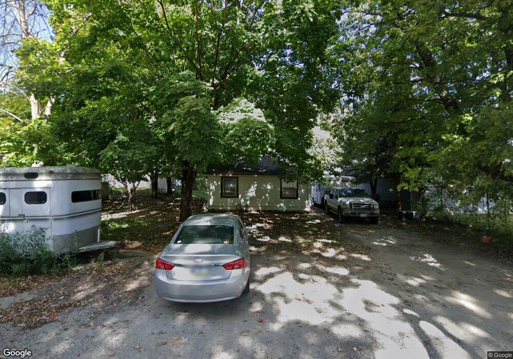
214 6th St NE Mason City, IA 50401
Estimated Value: $68,000 - $101,000
2
Beds
3
Baths
864
Sq Ft
$97/Sq Ft
Est. Value
About This Home
This home is located at 214 6th St NE, Mason City, IA 50401 and is currently estimated at $83,667, approximately $96 per square foot. 214 6th St NE is a home located in Cerro Gordo County with nearby schools including Mason City High School, North Iowa Christian School, and Mason City Seventh Day Adventi.
Ownership History
Date
Name
Owned For
Owner Type
Purchase Details
Closed on
Aug 12, 2009
Sold by
Dodge Margaret E
Bought by
Dodge Christina J
Current Estimated Value
Home Financials for this Owner
Home Financials are based on the most recent Mortgage that was taken out on this home.
Original Mortgage
$990,000
Interest Rate
4.12%
Mortgage Type
New Conventional
Purchase Details
Closed on
May 1, 2009
Sold by
Dodge Margaret E
Bought by
Dodge Christina J
Purchase Details
Closed on
Jun 30, 2005
Sold by
Myers Susan E
Bought by
Dodge Alan M and Dodge Margaret E
Create a Home Valuation Report for This Property
The Home Valuation Report is an in-depth analysis detailing your home's value as well as a comparison with similar homes in the area
Home Values in the Area
Average Home Value in this Area
Purchase History
| Date | Buyer | Sale Price | Title Company |
|---|---|---|---|
| Dodge Christina J | $33,000 | None Available | |
| Dodge Christina J | $33,000 | None Available | |
| Dodge Alan M | $20,000 | -- | |
| Dodge Alan M | $20,000 | None Available |
Source: Public Records
Mortgage History
| Date | Status | Borrower | Loan Amount |
|---|---|---|---|
| Previous Owner | Dodge Christina J | $990,000 |
Source: Public Records
Tax History Compared to Growth
Tax History
| Year | Tax Paid | Tax Assessment Tax Assessment Total Assessment is a certain percentage of the fair market value that is determined by local assessors to be the total taxable value of land and additions on the property. | Land | Improvement |
|---|---|---|---|---|
| 2024 | $306 | $19,150 | $9,310 | $9,840 |
| 2023 | $302 | $19,150 | $9,310 | $9,840 |
| 2022 | $314 | $15,290 | $7,170 | $8,120 |
| 2021 | $386 | $15,230 | $7,170 | $8,060 |
| 2020 | $386 | $17,810 | $7,170 | $10,640 |
| 2019 | $362 | $0 | $0 | $0 |
| 2018 | $630 | $0 | $0 | $0 |
| 2017 | $646 | $0 | $0 | $0 |
| 2016 | $630 | $0 | $0 | $0 |
| 2015 | $630 | $0 | $0 | $0 |
| 2014 | $646 | $0 | $0 | $0 |
| 2013 | $622 | $0 | $0 | $0 |
Source: Public Records
Map
Nearby Homes
- 415 N Massachusetts Ave
- 311 10th St NE
- 32 6th St NW
- 1032 N Georgia Ave
- 215 9th St NW
- 128 10th St NW
- 721 N Jefferson Ave
- 221 9th St NW
- 635 10th St NE
- 222 9th St NW
- 636 2nd St NE
- 102 S Connecticut Ave Unit A-E
- 5 Willow Dr
- 323 6th St NW
- 682 3rd St NE
- 522 N Madison Ave
- 1008 N Hampshire Ave
- 210 1st St SW
- 1310 N Adams Ave
- 726 11th St NE
- 601 N Pennsylvania Ave
- 609 N Pennsylvania Ave
- 615 N Pennsylvania Ave
- 215 7th St NE
- 523 N Pennsylvania Ave
- 207 6th St NE
- 619 N Pennsylvania Ave
- 521 N Pennsylvania Ave
- 520 N Georgia Ave
- 221 7th St NE
- 621 N Pennsylvania Ave
- 517 N Pennsylvania Ave
- 225 7th St NE
- 604 N Pennsylvania Ave
- 231 7th St NE
- 522 N Pennsylvania Ave
- 610 N Pennsylvania Ave
- 509 N Pennsylvania Ave
- 518 N Pennsylvania Ave
- 618 N Pennsylvania Ave