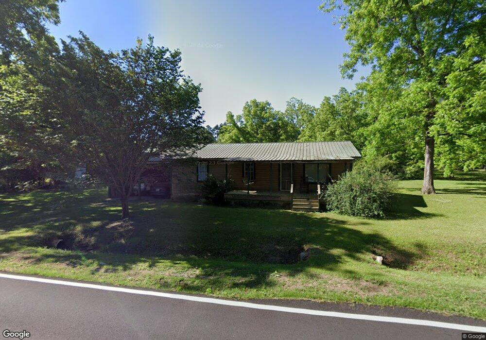
214 Airline Rd Coolidge, GA 31738
Estimated Value: $75,803 - $121,000
--
Bed
1
Bath
1,000
Sq Ft
$103/Sq Ft
Est. Value
About This Home
This home is located at 214 Airline Rd, Coolidge, GA 31738 and is currently estimated at $103,451, approximately $103 per square foot. 214 Airline Rd is a home located in Thomas County with nearby schools including Hand in Hand Primary School, Cross Creek Elementary School, and Garrison-Pilcher Elementary School.
Ownership History
Date
Name
Owned For
Owner Type
Purchase Details
Closed on
Jul 17, 2007
Sold by
Hicks Glenda Ruth Murphy
Bought by
Lamb Rober Steven and Lamb Teresa Lynn
Current Estimated Value
Purchase Details
Closed on
Aug 4, 2003
Sold by
Murphy James Kenneth
Bought by
Hicks Glenda Ruth Murphy
Purchase Details
Closed on
Jul 29, 2003
Sold by
Murphy Charles Jerry
Bought by
Hicks Glenda Ruth Murphy and Hicks James K
Purchase Details
Closed on
Nov 22, 2002
Sold by
Murphy George Young
Bought by
Hicks Glenda Ruth Murphy and Hicks
Purchase Details
Closed on
Sep 11, 1996
Bought by
Murphy George Young
Create a Home Valuation Report for This Property
The Home Valuation Report is an in-depth analysis detailing your home's value as well as a comparison with similar homes in the area
Home Values in the Area
Average Home Value in this Area
Purchase History
| Date | Buyer | Sale Price | Title Company |
|---|---|---|---|
| Lamb Rober Steven | -- | -- | |
| Hicks Glenda Ruth Murphy | -- | -- | |
| Hicks Glenda Ruth Murphy | -- | -- | |
| Hicks Glenda Ruth Murphy | -- | -- | |
| Murphy George Young | -- | -- |
Source: Public Records
Tax History Compared to Growth
Tax History
| Year | Tax Paid | Tax Assessment Tax Assessment Total Assessment is a certain percentage of the fair market value that is determined by local assessors to be the total taxable value of land and additions on the property. | Land | Improvement |
|---|---|---|---|---|
| 2024 | $266 | $14,570 | $2,691 | $11,879 |
| 2023 | $230 | $13,082 | $2,153 | $10,929 |
| 2022 | $232 | $12,037 | $2,153 | $9,884 |
| 2021 | $219 | $10,624 | $1,872 | $8,752 |
| 2020 | $231 | $10,879 | $1,872 | $9,007 |
| 2019 | $233 | $10,879 | $1,872 | $9,007 |
| 2018 | $237 | $10,852 | $1,872 | $8,980 |
| 2017 | $251 | $11,210 | $1,872 | $9,338 |
| 2016 | $248 | $11,062 | $1,872 | $9,190 |
| 2015 | $306 | $13,065 | $1,872 | $11,193 |
| 2014 | $301 | $12,823 | $1,872 | $10,951 |
| 2013 | -- | $12,718 | $1,768 | $10,950 |
Source: Public Records
Map
Nearby Homes
- 21688 U S 319
- 21688 US Highway 319 N
- 3812 Ponder Rd
- 203 Bailey Cir
- 201 Bailey Cir
- 101 Bailey Cir
- 110 Nicole Britt Dr
- 8833 Georgia 122
- 4016 E Japonica Ave
- 125 Lost Creek Ln
- 113 Lost Creek Ln
- 100 Morgan Place
- 112 Morgan Place
- 102 Morgan Place
- 110 Morgan Place
- 0000 N
- 258
- 13876 Ga Highway 122
- 2069 Baker Rd
- 7921 Five Forks Rd
- 357 Lunsford St
- 237 Airline Rd
- 449 Lunsford St
- 465 Lunsford St
- 400 Lunsford St
- 350 Lunsford St
- 28 Davis St
- 244 Lunsford St
- 205 Lunsford St
- 228 Lunsford St
- 0000 Airline Road (23 Acres)
- 186 Lunsford St
- 528 Airline Rd
- 18 Airline Rd
- 133 Lunsford St
- 168 Lunsford St
- 0 Airline Rd
- 1594 Merrillville Rd
- 97 Lunsford St
- 108 Lunsford St