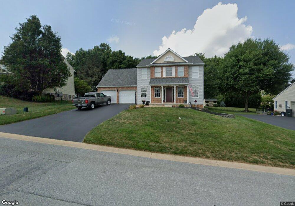
214 Browning Rd Lancaster, PA 17602
Bridgeport NeighborhoodEstimated Value: $365,000 - $475,000
3
Beds
3
Baths
2,018
Sq Ft
$214/Sq Ft
Est. Value
About This Home
This home is located at 214 Browning Rd, Lancaster, PA 17602 and is currently estimated at $430,865, approximately $213 per square foot. 214 Browning Rd is a home located in Lancaster County with nearby schools including Smoketown Elementary School, Gerald G. Huesken Middle School, and Conestoga Valley High School.
Ownership History
Date
Name
Owned For
Owner Type
Purchase Details
Closed on
Feb 24, 1999
Sold by
Bachman John N
Bought by
Kurtz Michael J and Taylor Elizabeth B
Current Estimated Value
Home Financials for this Owner
Home Financials are based on the most recent Mortgage that was taken out on this home.
Original Mortgage
$133,200
Interest Rate
6.75%
Purchase Details
Closed on
Jan 22, 1999
Sold by
Bachman John N
Bought by
Kurtz Michael J and Taylor Elizabeth B
Home Financials for this Owner
Home Financials are based on the most recent Mortgage that was taken out on this home.
Original Mortgage
$133,200
Interest Rate
6.75%
Create a Home Valuation Report for This Property
The Home Valuation Report is an in-depth analysis detailing your home's value as well as a comparison with similar homes in the area
Home Values in the Area
Average Home Value in this Area
Purchase History
| Date | Buyer | Sale Price | Title Company |
|---|---|---|---|
| Kurtz Michael J | -- | -- | |
| Kurtz Michael J | $47,000 | -- |
Source: Public Records
Mortgage History
| Date | Status | Borrower | Loan Amount |
|---|---|---|---|
| Previous Owner | Kurtz Michael J | $133,200 |
Source: Public Records
Tax History
| Year | Tax Paid | Tax Assessment Tax Assessment Total Assessment is a certain percentage of the fair market value that is determined by local assessors to be the total taxable value of land and additions on the property. | Land | Improvement |
|---|---|---|---|---|
| 2025 | $7,410 | $239,600 | $63,600 | $176,000 |
| 2024 | $7,410 | $239,600 | $63,600 | $176,000 |
| 2023 | $7,312 | $239,600 | $63,600 | $176,000 |
| 2022 | $6,969 | $239,600 | $63,600 | $176,000 |
| 2021 | $6,806 | $239,600 | $63,600 | $176,000 |
| 2020 | $6,806 | $239,600 | $63,600 | $176,000 |
| 2019 | $6,710 | $239,600 | $63,600 | $176,000 |
| 2018 | $6,226 | $239,600 | $63,600 | $176,000 |
| 2017 | $6,336 | $185,800 | $50,000 | $135,800 |
| 2016 | $6,258 | $185,800 | $50,000 | $135,800 |
| 2015 | $3,299 | $185,800 | $50,000 | $135,800 |
| 2014 | $5,083 | $185,800 | $50,000 | $135,800 |
Source: Public Records
Map
Nearby Homes
- 257 Longfellow Dr
- 329 Dahlia Rd
- 32 Greenfield Rd
- 133 Conestoga Blvd
- 38 Conestoga Dr
- 806 Lightfoot Dr
- 8 White Tail Path
- 1036 E King St
- 312 Laurel Oak Ln
- 33 Black Oak Dr
- 225 Black Oak Dr
- 516 Conestoga Greenway Trail
- 980 E Orange St
- 911 E King St
- 647 S Franklin St
- 333 Greenland Dr
- 305 Greenland Dr Unit 385
- 2009 Millstream Rd
- 352 Dohner Dr Unit 69
- 508 Oak Grove Dr
- 218 Browning Rd
- 210 Browning Rd
- 235 Longfellow Dr
- 222 Browning Rd
- 231 Longfellow Dr
- 241 Longfellow Dr
- 215 Browning Rd
- 219 Browning Rd
- 211 Browning Rd
- 128 Browning Rd
- 247 Longfellow Dr
- 223 Browning Rd
- 127 Browning Rd
- 226 Browning Rd
- 558 Longfellow Dr
- 153 Longfellow Dr
- 122 Browning Rd
- 227 Browning Rd
- 121 Browning Rd
- 147 Longfellow Dr
Your Personal Tour Guide
Ask me questions while you tour the home.